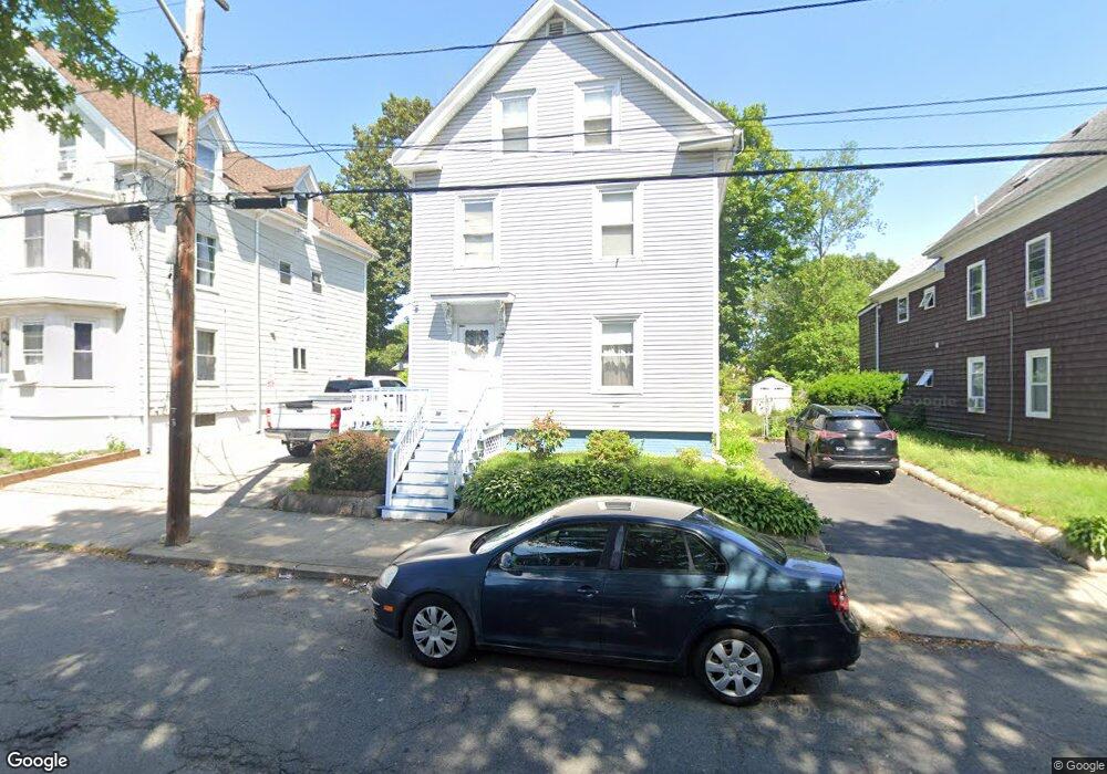
73 Kirtland St Lynn, MA 01905
Lower Boston Street NeighborhoodEstimated Value: $531,000 - $645,000
2
Beds
3
Baths
1,910
Sq Ft
$317/Sq Ft
Est. Value
About This Home
This home is located at 73 Kirtland St, Lynn, MA 01905 and is currently estimated at $605,336, approximately $316 per square foot. 73 Kirtland St is a home located in Essex County with nearby schools including North Park Elementary School, William R. Fallon School, and Tracy Elementary School.
Ownership History
Date
Name
Owned For
Owner Type
Purchase Details
Closed on
Oct 30, 1997
Sold by
Baker Michael W and Baker Diana E
Bought by
Gebreselassie Fiseha
Current Estimated Value
Purchase Details
Closed on
Sep 30, 1988
Sold by
Roche Robert
Bought by
Baker Michael W
Create a Home Valuation Report for This Property
The Home Valuation Report is an in-depth analysis detailing your home's value as well as a comparison with similar homes in the area
Home Values in the Area
Average Home Value in this Area
Purchase History
| Date | Buyer | Sale Price | Title Company |
|---|---|---|---|
| Gebreselassie Fiseha | $116,000 | -- | |
| Gebreselassie Fiseha | $116,000 | -- | |
| Baker Michael W | $143,200 | -- |
Source: Public Records
Mortgage History
| Date | Status | Borrower | Loan Amount |
|---|---|---|---|
| Open | Baker Michael W | $175,000 | |
| Closed | Baker Michael W | $108,000 | |
| Closed | Baker Michael W | $111,000 |
Source: Public Records
Tax History Compared to Growth
Tax History
| Year | Tax Paid | Tax Assessment Tax Assessment Total Assessment is a certain percentage of the fair market value that is determined by local assessors to be the total taxable value of land and additions on the property. | Land | Improvement |
|---|---|---|---|---|
| 2025 | $5,938 | $573,200 | $198,500 | $374,700 |
| 2024 | $5,505 | $522,800 | $184,600 | $338,200 |
| 2023 | $5,604 | $502,600 | $204,200 | $298,400 |
| 2022 | $5,260 | $423,200 | $156,400 | $266,800 |
| 2021 | $4,820 | $369,900 | $135,100 | $234,800 |
| 2020 | $4,753 | $354,700 | $138,600 | $216,100 |
| 2019 | $4,650 | $325,200 | $123,800 | $201,400 |
| 2018 | $4,204 | $277,500 | $111,600 | $165,900 |
| 2017 | $3,900 | $250,000 | $97,700 | $152,300 |
| 2016 | $3,773 | $233,200 | $89,900 | $143,300 |
| 2015 | $3,729 | $222,600 | $92,500 | $130,100 |
Source: Public Records
Map
Nearby Homes
- 93 Robinson St
- 447 Boston St
- 10 Carnes St
- 14 Atkinson St
- 75 Moulton St
- 505-507 Boston St
- 40 Grove St
- 28 Wyman St
- 75 Grove St
- 11 Linwood Rd
- 92-94 Newton Ave
- 39 Centre St
- 693 Western Ave Unit 101
- 20 Murray St
- 662-664 Western Ave
- 268 Walnut St
- 274 Boston St
- 25 Bulfinch St
- 19 Hood St
- 27 Bradford Terrace
- 69 Kirtland St
- 69 Kirtland St Unit 1
- 81 Kirtland St
- 65 Kirtland St
- 65 Kirtland St Unit 3
- 65 Kirtland St Unit 2
- 15 Oleary Place
- 10 Oleary Place
- 10 Oleary Place Unit 1
- 74 Kirtland St
- 85 Kirtland St
- 61 Kirtland St
- 70 Kirtland St
- 46 Sargents Ct
- 78 Kirtland St
- 46 Sargents Ct
- 66 Kirtland St
- 82 Kirtland St
- 13 Oleary Place
- 42 Sargents Ct