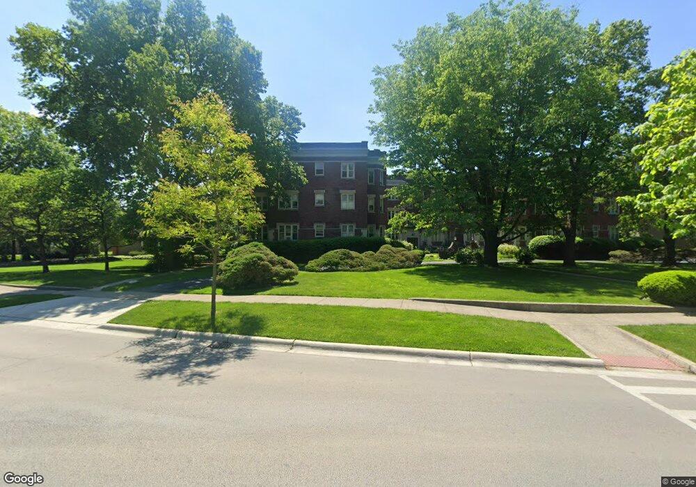
73 Longcommon Rd Unit B1 Riverside, IL 60546
Estimated Value: $163,000 - $214,301
Studio
--
Bath
31,638
Sq Ft
$6/Sq Ft
Est. Value
About This Home
This home is located at 73 Longcommon Rd Unit B1, Riverside, IL 60546 and is currently estimated at $189,825, approximately $5 per square foot. 73 Longcommon Rd Unit B1 is a home located in Cook County with nearby schools including Central Elementary School, L J Hauser Jr High School, and Riverside Brookfield High School.
Ownership History
Date
Name
Owned For
Owner Type
Purchase Details
Closed on
Aug 17, 2023
Sold by
Yetter Deborah A
Bought by
Deborah Ann Yetter Declaration Of Trust and Yetter
Current Estimated Value
Purchase Details
Closed on
Jan 15, 1996
Sold by
Masek Timothy A and Masek Dina D
Bought by
Yetter Deborah A
Home Financials for this Owner
Home Financials are based on the most recent Mortgage that was taken out on this home.
Original Mortgage
$89,200
Interest Rate
7.19%
Purchase Details
Closed on
Mar 31, 1995
Sold by
Gurke Carolyn M and Nowik Carolyn M
Bought by
Masek Timothy A and Masek Dina D
Home Financials for this Owner
Home Financials are based on the most recent Mortgage that was taken out on this home.
Original Mortgage
$83,700
Interest Rate
8.79%
Create a Home Valuation Report for This Property
The Home Valuation Report is an in-depth analysis detailing your home's value as well as a comparison with similar homes in the area
Home Values in the Area
Average Home Value in this Area
Purchase History
| Date | Buyer | Sale Price | Title Company |
|---|---|---|---|
| Deborah Ann Yetter Declaration Of Trust | -- | None Listed On Document | |
| Yetter Deborah A | $105,000 | -- | |
| Masek Timothy A | $93,400 | -- |
Source: Public Records
Mortgage History
| Date | Status | Borrower | Loan Amount |
|---|---|---|---|
| Previous Owner | Yetter Deborah A | $89,200 | |
| Previous Owner | Masek Timothy A | $83,700 |
Source: Public Records
Tax History
| Year | Tax Paid | Tax Assessment Tax Assessment Total Assessment is a certain percentage of the fair market value that is determined by local assessors to be the total taxable value of land and additions on the property. | Land | Improvement |
|---|---|---|---|---|
| 2025 | $3,488 | $14,220 | $2,721 | $11,499 |
| 2024 | $3,488 | $14,220 | $2,721 | $11,499 |
| 2023 | $2,725 | $14,220 | $2,721 | $11,499 |
| 2022 | $2,725 | $10,534 | $1,360 | $9,174 |
| 2021 | $2,651 | $10,534 | $1,360 | $9,174 |
| 2020 | $2,646 | $10,534 | $1,360 | $9,174 |
| 2019 | $2,466 | $10,436 | $1,224 | $9,212 |
| 2018 | $2,392 | $10,436 | $1,224 | $9,212 |
| 2017 | $2,334 | $10,436 | $1,224 | $9,212 |
| 2016 | $2,702 | $10,170 | $1,020 | $9,150 |
| 2015 | $2,597 | $10,170 | $1,020 | $9,150 |
| 2014 | $2,571 | $10,170 | $1,020 | $9,150 |
| 2013 | $3,637 | $14,287 | $1,020 | $13,267 |
Source: Public Records
Map
Nearby Homes
- 10 E Burlington St Unit 2C
- 10 E Burlington St Unit 2B
- 108 E Burlington St Unit B
- 78 Pine Ave
- 124 Forest Ave
- 269 Shenstone Rd
- 231 Bartram Rd
- 220 Maplewood Rd
- 236 Maplewood Rd
- 176 Riverside Rd
- 305 Desplaines Ave
- 280 Blackhawk Rd
- 315 Bartram Rd
- 284 Blackhawk Rd
- 8117 W 30th St
- 262 Lionel Rd
- 369 Addison Rd
- 101 Southcote Rd
- 367 Bartram Rd
- 410 Repton Rd
- 73 Longcommon Rd Unit A3
- 73 Longcommon Rd Unit A2
- 73 Longcommon Rd Unit A1
- 73 Longcommon Rd Unit 3B
- 73 Longcommon Rd Unit B2
- 73 Longcommon Rd Unit 1-B
- 69 Longcommon Rd Unit C3
- 69 Longcommon Rd Unit C2
- 69 Longcommon Rd Unit C1
- 69 Longcommon Rd Unit D3
- 69 Longcommon Rd Unit D2
- 69 Longcommon Rd Unit D1
- 65 Longcommon Rd Unit E3
- 65 Longcommon Rd Unit E2
- 65 Longcommon Rd Unit E1
- 65 Longcommon Rd Unit G
- 65 Longcommon Rd Unit F3
- 65 Longcommon Rd Unit F2
- 65 Longcommon Rd Unit F1
- 65 Longcommon Rd Unit 1E
Your Personal Tour Guide
Ask me questions while you tour the home.