73 Maple Rdg Rd Underhill, VT 05489
Estimated Value: $578,000 - $724,000
Studio
--
Bath
--
Sq Ft
10.1
Acres
About This Home
This home is located at 73 Maple Rdg Rd, Underhill, VT 05489 and is currently estimated at $638,191. 73 Maple Rdg Rd is a home located in Chittenden County with nearby schools including Underhill Central School, Brewster Pierce School, and Browns River Middle School.
Ownership History
Date
Name
Owned For
Owner Type
Purchase Details
Closed on
Jul 19, 2023
Sold by
Gordon Donna L and Miller Charles J
Bought by
Rorabaugh Marisa and Wood Thomas
Current Estimated Value
Purchase Details
Closed on
Jul 1, 2020
Sold by
Colburn John S
Bought by
Gordon Donna and Miller Charles
Purchase Details
Closed on
Nov 22, 2019
Sold by
Colburn Rebecca Winter
Bought by
Colburn John Stanley
Purchase Details
Closed on
Sep 19, 2014
Sold by
Fitzgerald Daniel M and Fitzgerald Kimberly L
Bought by
Colburn John Stanley and Colburn Rebecca Winter
Create a Home Valuation Report for This Property
The Home Valuation Report is an in-depth analysis detailing your home's value as well as a comparison with similar homes in the area
Home Values in the Area
Average Home Value in this Area
Purchase History
| Date | Buyer | Sale Price | Title Company |
|---|---|---|---|
| Rorabaugh Marisa | $605,000 | -- | |
| Rorabaugh Marisa | $605,000 | -- | |
| Rorabaugh Marisa | $605,000 | -- | |
| Gordon Donna | $405,000 | -- | |
| Gordon Donna | $405,000 | -- | |
| Gordon Donna | $405,000 | -- | |
| Colburn John Stanley | -- | -- | |
| Colburn John Stanley | -- | -- | |
| Colburn John Stanley | -- | -- | |
| Colburn John Stanley | $254,000 | -- | |
| Colburn John Stanley | $254,000 | -- |
Source: Public Records
Tax History
| Year | Tax Paid | Tax Assessment Tax Assessment Total Assessment is a certain percentage of the fair market value that is determined by local assessors to be the total taxable value of land and additions on the property. | Land | Improvement |
|---|---|---|---|---|
| 2024 | -- | $436,400 | $154,700 | $281,700 |
| 2023 | -- | $436,400 | $154,700 | $281,700 |
| 2022 | $7,017 | $436,400 | $154,700 | $281,700 |
| 2021 | $6,279 | $287,400 | $118,000 | $169,400 |
| 2020 | $5,818 | $287,400 | $118,000 | $169,400 |
| 2019 | $5,776 | $287,400 | $118,000 | $169,400 |
| 2018 | $5,884 | $287,400 | $118,000 | $169,400 |
| 2017 | $5,790 | $311,700 | $129,000 | $182,700 |
| 2016 | $6,297 | $312,300 | $118,000 | $194,300 |
| 2015 | -- | $3,123 | $0 | $0 |
| 2014 | -- | $3,123 | $0 | $0 |
| 2013 | -- | $3,117 | $0 | $0 |
Source: Public Records
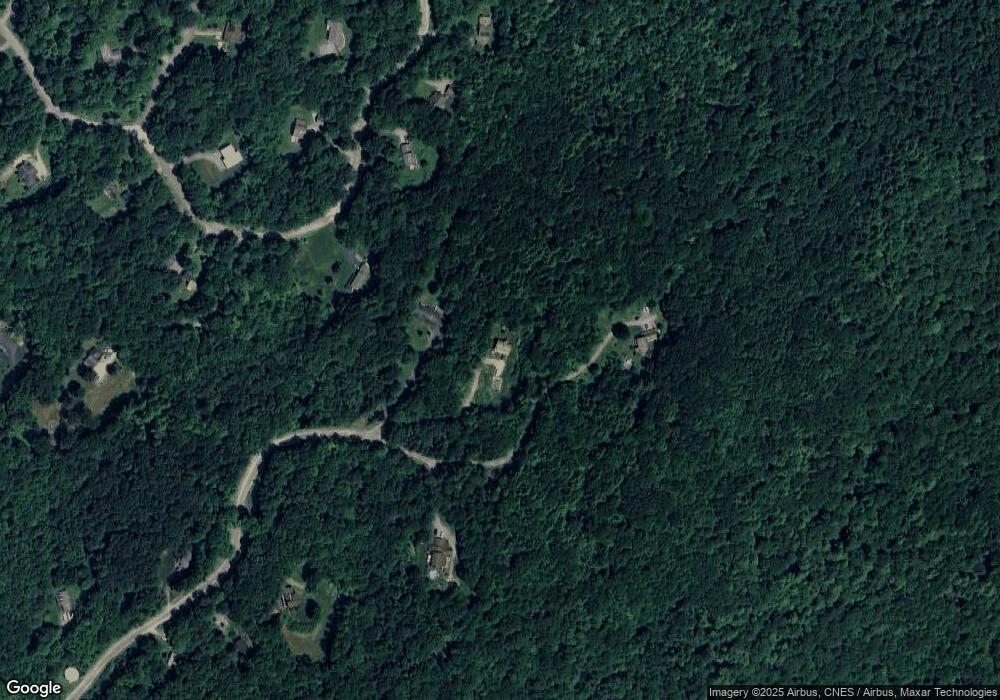
Map
Nearby Homes
- 7 Sugarhill Rd
- 8 Mins Ln
- 9 Liberty Ln
- 266 Vermont 15
- 79 Hawthorn Ln
- 18 Krug Rd
- 29 Stevensville Rd
- 30 Black Walnut Ln
- 60 Starbird Rd Unit E
- 51 Hanley Ln
- 5A Woodland Dr
- 296 & 298 Vermont 15
- 127 Vt Rte 15 Rd
- 11 Sunny View Dr
- 3 Railroad Cir
- 1752 Old Pump Rd
- 459 Pleasant Valley Rd
- 36 Emerson Dr
- 939 Osgood Hill Rd
- 49 Nashville Rd
Your Personal Tour Guide
Ask me questions while you tour the home.