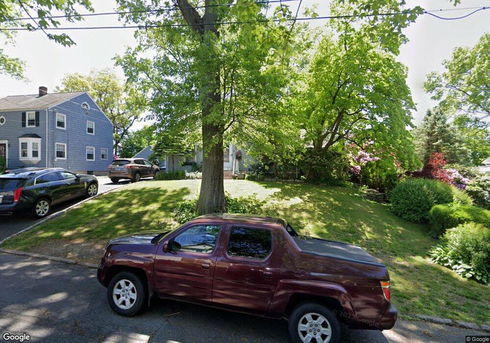
73 Mayflower Dr Bridgeport, CT 06604
Brooklawn-Saint Vincent NeighborhoodEstimated Value: $416,000 - $513,301
3
Beds
3
Baths
1,759
Sq Ft
$270/Sq Ft
Est. Value
About This Home
This home is located at 73 Mayflower Dr, Bridgeport, CT 06604 and is currently estimated at $474,325, approximately $269 per square foot. 73 Mayflower Dr is a home located in Fairfield County with nearby schools including Blackham School, Central High School, and Assumption Catholic School.
Ownership History
Date
Name
Owned For
Owner Type
Purchase Details
Closed on
May 22, 2000
Sold by
Avila Cecilia
Bought by
White M Doris
Current Estimated Value
Home Financials for this Owner
Home Financials are based on the most recent Mortgage that was taken out on this home.
Original Mortgage
$117,000
Outstanding Balance
$40,566
Interest Rate
8.19%
Estimated Equity
$433,759
Purchase Details
Closed on
Aug 31, 1998
Sold by
Zabin Deborah R
Bought by
Avila Cecilia and Avila Diana
Home Financials for this Owner
Home Financials are based on the most recent Mortgage that was taken out on this home.
Original Mortgage
$120,000
Interest Rate
6.9%
Mortgage Type
Unknown
Create a Home Valuation Report for This Property
The Home Valuation Report is an in-depth analysis detailing your home's value as well as a comparison with similar homes in the area
Home Values in the Area
Average Home Value in this Area
Purchase History
| Date | Buyer | Sale Price | Title Company |
|---|---|---|---|
| White M Doris | $165,000 | -- | |
| White M Doris | $165,000 | -- | |
| Avila Cecilia | $120,000 | -- | |
| Avila Cecilia | $120,000 | -- |
Source: Public Records
Mortgage History
| Date | Status | Borrower | Loan Amount |
|---|---|---|---|
| Open | Avila Cecilia | $117,000 | |
| Closed | Avila Cecilia | $117,000 | |
| Previous Owner | Avila Cecilia | $120,000 |
Source: Public Records
Tax History Compared to Growth
Tax History
| Year | Tax Paid | Tax Assessment Tax Assessment Total Assessment is a certain percentage of the fair market value that is determined by local assessors to be the total taxable value of land and additions on the property. | Land | Improvement |
|---|---|---|---|---|
| 2025 | $8,316 | $191,400 | $81,310 | $110,090 |
| 2024 | $8,316 | $191,400 | $81,310 | $110,090 |
| 2023 | $8,316 | $191,400 | $81,310 | $110,090 |
| 2022 | $8,316 | $191,400 | $81,310 | $110,090 |
| 2021 | $8,316 | $191,400 | $81,310 | $110,090 |
| 2020 | $7,837 | $145,160 | $50,900 | $94,260 |
| 2019 | $7,837 | $145,160 | $50,900 | $94,260 |
| 2018 | $7,892 | $145,160 | $50,900 | $94,260 |
| 2017 | $7,892 | $145,160 | $50,900 | $94,260 |
| 2016 | $7,892 | $145,160 | $50,900 | $94,260 |
| 2015 | $7,637 | $180,960 | $64,570 | $116,390 |
| 2014 | $7,637 | $180,960 | $64,570 | $116,390 |
Source: Public Records
Map
Nearby Homes
- 2675 Park Ave Unit 3
- 2675 Park Ave Unit 22
- 2625 Park Ave Unit 12L
- 2625 Park Ave Unit 5S
- 2625 Park Ave Unit 5N
- 125 Alexander Dr
- 150 Alexander Dr
- 125 Garden Dr
- 11 Myron Ave
- 1473 Wood Ave
- 2445 Park Ave Unit 23
- 241 Sampson St
- 3200 Park Ave Unit 11C2
- 3200 Park Ave Unit 11E2
- 1480 Capitol Ave Unit 811
- 681 Westfield Ave
- 1275 Capitol Ave
- 2345 Park Ave
- 112 Eastwood Rd
- 1213 Wood Ave
- 61 Mayflower Dr
- 93 Mayflower Dr
- 70 Powell Terrace
- 49 Mayflower Dr
- 56 Powell Terrace
- 1330 Brooklawn Ave
- 1260 Brooklawn Ave
- 27 Mayflower Dr
- 40 Powell Terrace
- 10 Brooklawn Terrace
- 1263 Brooklawn Ave
- 96 Powell Terrace
- 1240 Brooklawn Ave
- 1241 Brooklawn Ave
- 85 Powell Terrace
- 1350 Brooklawn Ave
- 70 Mayflower Dr
- 26 Powell Terrace
- 1335 Brooklawn Ave
- 1303 Brooklawn Ave