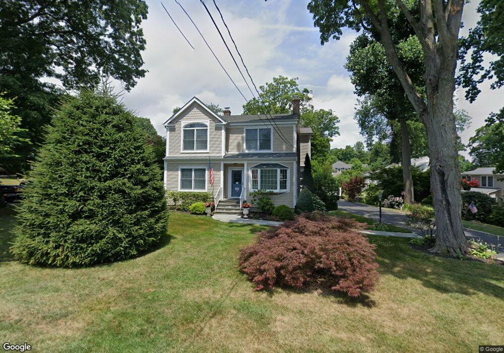
73 Quintard Dr Port Chester, NY 10573
Estimated Value: $813,000 - $961,265
3
Beds
3
Baths
2,078
Sq Ft
$425/Sq Ft
Est. Value
About This Home
This home is located at 73 Quintard Dr, Port Chester, NY 10573 and is currently estimated at $884,066, approximately $425 per square foot. 73 Quintard Dr is a home located in Westchester County with nearby schools including Port Chester Middle School, Port Chester Senior High School, and Corpus Christi Holy Rosary School.
Ownership History
Date
Name
Owned For
Owner Type
Purchase Details
Closed on
Jul 30, 2003
Sold by
Mowbray Robert L and Mowbray Kally
Bought by
Provenzano Enrico and Jensen Karen
Current Estimated Value
Home Financials for this Owner
Home Financials are based on the most recent Mortgage that was taken out on this home.
Original Mortgage
$354,400
Interest Rate
5.46%
Mortgage Type
Purchase Money Mortgage
Create a Home Valuation Report for This Property
The Home Valuation Report is an in-depth analysis detailing your home's value as well as a comparison with similar homes in the area
Home Values in the Area
Average Home Value in this Area
Purchase History
| Date | Buyer | Sale Price | Title Company |
|---|---|---|---|
| Provenzano Enrico | $443,000 | The Judicial Title Ins Agenc |
Source: Public Records
Mortgage History
| Date | Status | Borrower | Loan Amount |
|---|---|---|---|
| Previous Owner | Provenzano Enrico | $354,400 |
Source: Public Records
Tax History Compared to Growth
Tax History
| Year | Tax Paid | Tax Assessment Tax Assessment Total Assessment is a certain percentage of the fair market value that is determined by local assessors to be the total taxable value of land and additions on the property. | Land | Improvement |
|---|---|---|---|---|
| 2024 | $16,603 | $766,600 | $245,200 | $521,400 |
| 2023 | $15,397 | $737,100 | $233,500 | $503,600 |
| 2022 | $14,877 | $682,500 | $233,500 | $449,000 |
| 2021 | $15,976 | $650,000 | $233,500 | $416,500 |
| 2020 | $17,343 | $650,000 | $233,500 | $416,500 |
| 2019 | $20,157 | $640,000 | $228,300 | $411,700 |
| 2018 | $12,117 | $625,900 | $223,600 | $402,300 |
| 2017 | $2,656 | $620,100 | $221,000 | $399,100 |
| 2016 | $16,406 | $603,100 | $219,700 | $383,400 |
| 2015 | -- | $671,100 | $224,200 | $446,900 |
| 2014 | -- | $629,800 | $203,400 | $426,400 |
| 2013 | -- | $623,600 | $197,200 | $426,400 |
Source: Public Records
Map
Nearby Homes
- 28 1/2 Pilgrim Dr
- 107 Pemberwick Rd
- 3 Green Ln
- 238 Madison Ave
- 70 Byram Terrace Dr
- 563 King St
- 565 King St
- 38 Riverdale Ave
- 17 Austin Place
- 53 Upland St
- 531 1/2 Willett Ave
- 40 Moshier St
- 53 Linden St
- 180 Madison Ave
- 41 Chapel St
- 8 Reynolds Place
- 52 Almira Dr Unit D
- 263 N Regent St
- 340 Locust Ave
- 106 Puritan Dr