73 Ridge Farm Rd Strafford, NH 03884
Estimated Value: $373,226 - $458,000
2
Beds
1
Bath
1,080
Sq Ft
$372/Sq Ft
Est. Value
About This Home
This home is located at 73 Ridge Farm Rd, Strafford, NH 03884 and is currently estimated at $401,557, approximately $371 per square foot. 73 Ridge Farm Rd is a home located in Strafford County with nearby schools including Strafford School and Coe-Brown Northwood Academy.
Ownership History
Date
Name
Owned For
Owner Type
Purchase Details
Closed on
Jul 9, 2003
Sold by
Panagos John J and Panagos Joanne
Bought by
Pike Wayne S
Current Estimated Value
Home Financials for this Owner
Home Financials are based on the most recent Mortgage that was taken out on this home.
Original Mortgage
$149,850
Outstanding Balance
$64,620
Interest Rate
5.45%
Estimated Equity
$336,937
Create a Home Valuation Report for This Property
The Home Valuation Report is an in-depth analysis detailing your home's value as well as a comparison with similar homes in the area
Home Values in the Area
Average Home Value in this Area
Purchase History
| Date | Buyer | Sale Price | Title Company |
|---|---|---|---|
| Pike Wayne S | $154,500 | -- |
Source: Public Records
Mortgage History
| Date | Status | Borrower | Loan Amount |
|---|---|---|---|
| Open | Pike Wayne S | $149,850 |
Source: Public Records
Tax History Compared to Growth
Tax History
| Year | Tax Paid | Tax Assessment Tax Assessment Total Assessment is a certain percentage of the fair market value that is determined by local assessors to be the total taxable value of land and additions on the property. | Land | Improvement |
|---|---|---|---|---|
| 2024 | $3,839 | $194,300 | $65,000 | $129,300 |
| 2023 | $3,622 | $194,300 | $65,000 | $129,300 |
| 2022 | $3,328 | $194,300 | $65,000 | $129,300 |
| 2021 | $3,587 | $194,300 | $65,000 | $129,300 |
| 2020 | $3,445 | $134,300 | $56,300 | $78,000 |
| 2019 | $3,152 | $134,300 | $56,300 | $78,000 |
| 2018 | $3,174 | $134,300 | $56,300 | $78,000 |
| 2016 | $2,854 | $134,300 | $56,300 | $78,000 |
| 2015 | $2,859 | $131,100 | $65,200 | $65,900 |
| 2014 | $3,036 | $131,100 | $65,200 | $65,900 |
| 2013 | $2,973 | $131,100 | $65,200 | $65,900 |
| 2012 | $2,934 | $131,100 | $65,200 | $65,900 |
Source: Public Records
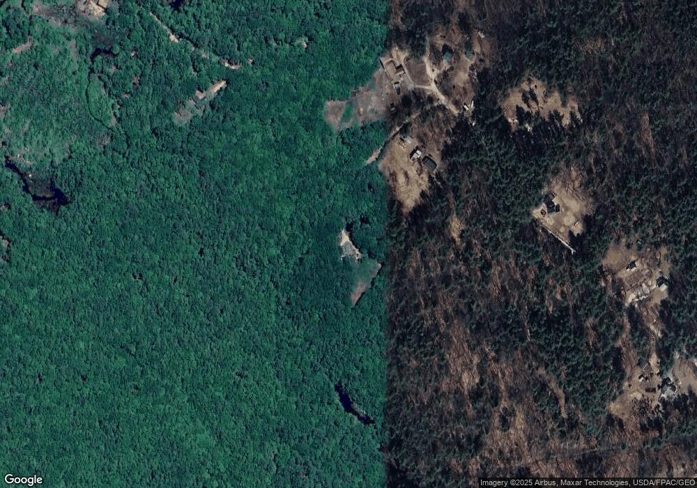
Map
Nearby Homes
- 83 Sloper Rd
- 0 Sloper Rd Unit 6
- 1226 First Crown Point Rd
- 948 Strafford Rd
- M37 L40 Beaver Rd
- 345 Dry Hill Rd
- 243 Second Crown Point Rd
- 86 Long Shores Dr
- 68 Berry River Rd
- 0 Long Shores Dr Unit 5057687
- 38 Strafford Rd
- 00 Squire Rd
- 30 Avalon Rd
- 28-1 Range Rd
- 11 Drake Hill Rd
- 268 Province Rd
- 3 Fire Rd Unit 151
- Map 220 Lot 16 Four Rod Rd
- Map 3 Lot 18-2b and 18-2c Water St
- 22 Stonewall Dr
- 65 Ridge Farm Rd
- 79 Ridge Farm Rd
- 50 Ridge Farm Rd
- 117 Ridge Farm Rd
- 80 Ridge Farm Rd
- 62 Ridge Farm Rd
- 26 Ridge Farm Rd
- 15 Ridge Farm Rd
- 139 Ridge Farm Rd
- 12 Mohawk Trail Way
- 226 Cross Rd
- 208 Cross Rd
- 239 Cross Rd
- 218 Cross Rd
- 225 Cross Rd
- 210 Cross Rd
- 181 Ridge Farm Rd
- 231 Cross Rd
- 196 Cross Rd
- 24 Mohawk Trail Way