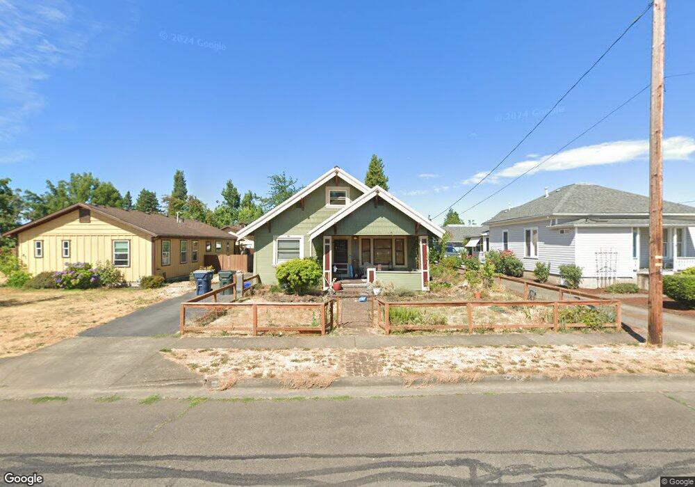
73 S 2nd St Creswell, OR 97426
Estimated Value: $361,000 - $438,000
4
Beds
1
Bath
1,636
Sq Ft
$241/Sq Ft
Est. Value
About This Home
This home is located at 73 S 2nd St, Creswell, OR 97426 and is currently estimated at $393,818, approximately $240 per square foot. 73 S 2nd St is a home located in Lane County with nearby schools including Creslane Elementary School, Creswell Middle School, and Creswell High School.
Ownership History
Date
Name
Owned For
Owner Type
Purchase Details
Closed on
Aug 12, 2016
Sold by
Dersham Roni R
Bought by
Callaway Wendy Patricia
Current Estimated Value
Home Financials for this Owner
Home Financials are based on the most recent Mortgage that was taken out on this home.
Original Mortgage
$220,400
Outstanding Balance
$175,376
Interest Rate
3.48%
Mortgage Type
New Conventional
Estimated Equity
$218,442
Purchase Details
Closed on
Jun 27, 2001
Sold by
Case David A
Bought by
Dersham Roni R
Create a Home Valuation Report for This Property
The Home Valuation Report is an in-depth analysis detailing your home's value as well as a comparison with similar homes in the area
Home Values in the Area
Average Home Value in this Area
Purchase History
| Date | Buyer | Sale Price | Title Company |
|---|---|---|---|
| Callaway Wendy Patricia | $232,000 | Western Title & Escrow Co | |
| Dersham Roni R | -- | Western Pioneer Title Co |
Source: Public Records
Mortgage History
| Date | Status | Borrower | Loan Amount |
|---|---|---|---|
| Open | Callaway Wendy Patricia | $220,400 |
Source: Public Records
Tax History Compared to Growth
Tax History
| Year | Tax Paid | Tax Assessment Tax Assessment Total Assessment is a certain percentage of the fair market value that is determined by local assessors to be the total taxable value of land and additions on the property. | Land | Improvement |
|---|---|---|---|---|
| 2025 | $1,251 | $76,226 | -- | -- |
| 2024 | $936 | $74,006 | -- | -- |
| 2023 | $936 | $71,851 | $0 | $0 |
| 2022 | $1,008 | $69,759 | $0 | $0 |
| 2021 | $974 | $67,728 | $0 | $0 |
| 2020 | $960 | $65,756 | $0 | $0 |
| 2019 | $939 | $63,841 | $0 | $0 |
| 2018 | $926 | $60,177 | $0 | $0 |
| 2017 | $898 | $60,177 | $0 | $0 |
| 2016 | $920 | $58,424 | $0 | $0 |
| 2015 | $887 | $56,722 | $0 | $0 |
| 2014 | $879 | $55,070 | $0 | $0 |
Source: Public Records
Map
Nearby Homes
- 589 Mary Neal Ln
- 521 S 7th St
- 0 Holbrook Ln Unit 339588620
- 368 Hillegas Ave
- 1 Queens Ave Unit 1
- 156 N 1st St
- 692 N 1st St
- 689 Blue Jay Loop
- 645 Boulder Loop
- 700 N Mill St Unit 56
- 700 N Mill St Unit 109
- 700 N Mill St
- 460 Meadow Ln
- 83354 N Pacific Hwy
- 491 Ironwood Loop
- 375 Sunday Dr
- 316 Sunday Dr
- 336 Sunday Dr
- 685 St Andrews Loop
- 33465 Irish Ln
- 87 S 2nd St
- 41 S 2nd St
- 86 S 3rd St
- 82 S 3rd St
- 90 S 3rd St
- 281 W Oregon Ave
- 187 W Oregon Ave
- 108 S 3rd St
- 175 W Oregon Ave
- 149 S 2nd St
- 191 C St
- 165 W Oregon Ave
- 306 C St
- 110 S 3rd St
- S 3rd St
- 0 S 3rd St Unit 21689803
- 0 S 3rd St Unit 15014864
- 0 S 3rd St Unit 3400 14043800
- 0 S 3rd St Unit 14106468
- 150 S 2nd St