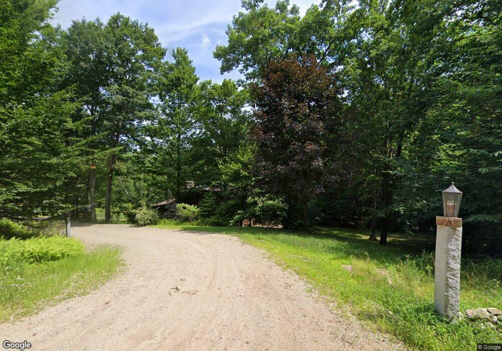
73 Webber Rd Strafford, NH 03884
Estimated Value: $514,000 - $720,000
2
Beds
3
Baths
2,904
Sq Ft
$226/Sq Ft
Est. Value
About This Home
This home is located at 73 Webber Rd, Strafford, NH 03884 and is currently estimated at $657,191, approximately $226 per square foot. 73 Webber Rd is a home with nearby schools including Strafford School and Coe-Brown Northwood Academy.
Ownership History
Date
Name
Owned For
Owner Type
Purchase Details
Closed on
May 17, 2019
Sold by
Wilson Jennifer N
Bought by
Jennifer W Price 2019 T
Current Estimated Value
Purchase Details
Closed on
Jun 28, 1999
Sold by
Hawkins Edward
Bought by
Wilson Jennifer N
Home Financials for this Owner
Home Financials are based on the most recent Mortgage that was taken out on this home.
Original Mortgage
$112,500
Interest Rate
7.09%
Create a Home Valuation Report for This Property
The Home Valuation Report is an in-depth analysis detailing your home's value as well as a comparison with similar homes in the area
Home Values in the Area
Average Home Value in this Area
Purchase History
| Date | Buyer | Sale Price | Title Company |
|---|---|---|---|
| Jennifer W Price 2019 T | -- | -- | |
| Wilson Jennifer N | $125,000 | -- |
Source: Public Records
Mortgage History
| Date | Status | Borrower | Loan Amount |
|---|---|---|---|
| Previous Owner | Wilson Jennifer N | $112,500 |
Source: Public Records
Tax History
| Year | Tax Paid | Tax Assessment Tax Assessment Total Assessment is a certain percentage of the fair market value that is determined by local assessors to be the total taxable value of land and additions on the property. | Land | Improvement |
|---|---|---|---|---|
| 2024 | $9,005 | $455,700 | $67,400 | $388,300 |
| 2023 | $8,457 | $453,700 | $67,400 | $386,300 |
| 2022 | $7,782 | $454,300 | $68,000 | $386,300 |
| 2021 | $8,385 | $454,200 | $67,900 | $386,300 |
| 2020 | $8,185 | $319,100 | $58,100 | $261,000 |
| 2019 | $7,111 | $303,000 | $58,000 | $245,000 |
| 2018 | $7,153 | $302,700 | $57,700 | $245,000 |
| 2016 | $6,437 | $302,900 | $57,900 | $245,000 |
| 2015 | $6,774 | $310,600 | $67,100 | $243,500 |
| 2014 | $7,196 | $310,700 | $67,200 | $243,500 |
| 2013 | $7,049 | $310,800 | $67,300 | $243,500 |
| 2012 | $6,976 | $311,700 | $67,500 | $244,200 |
Source: Public Records
Map
Nearby Homes
- 1760 Province Rd
- 114 Bow Lake Estates Rd
- 239 Long Pond Rd
- 18 Collins Dr
- R11 07 Clough Rd
- 133 & 137 Browns Pasture Rd
- Map R29 Lot 1-1 Catamount Rd
- 804 Catamount Rd
- 572 S Barnstead Rd
- 11 Chestnut Ln
- 18 Catamount Rd
- 17 Brook Cir
- Map R29 Lot 1 Catamount Rd
- Map 3 Lot 18-2b and 18-2c Water St
- 73 Harvey Lake Rd
- 19 Brook Cir
- 7 Chestnut Ln
- 21 Brook Cir
- 5 Chestnut Ln
- 0 1st New Hampshire Turnpike Unit 5026030
- 70 Webber Rd
- 76 Webber Rd
- 96 Webber Rd
- 44 Webber Rd
- "Lot 3" Province Rd
- 34 Webber Rd
- 100 Webber Rd
- 19 Webber Rd
- 122 Webber Rd
- 1566 Province Rd
- 132 Webber Rd
- 1563 Province Rd
- 125 Webber Rd
- 1586 Province Rd
- 1575 Province Rd
- 1561 Province Rd
- 121 Webber Rd
- 1522 Province Rd
- 1490 Province Rd
- 1539 Province Rd
Your Personal Tour Guide
Ask me questions while you tour the home.