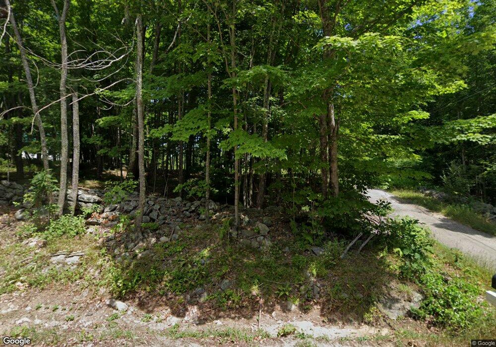
730 1st Crown Point Rd Strafford, NH 03884
Estimated Value: $567,000 - $621,000
3
Beds
2
Baths
1,960
Sq Ft
$306/Sq Ft
Est. Value
About This Home
This home is located at 730 1st Crown Point Rd, Strafford, NH 03884 and is currently estimated at $599,048, approximately $305 per square foot. 730 1st Crown Point Rd is a home located in Strafford County with nearby schools including Strafford School and Coe-Brown Northwood Academy.
Ownership History
Date
Name
Owned For
Owner Type
Purchase Details
Closed on
Sep 16, 2024
Sold by
Hanson Robert F and Hanson Tracy L
Bought by
Hanson Ft and Hanson
Current Estimated Value
Purchase Details
Closed on
Jan 4, 1999
Sold by
Sthilaire Donald
Bought by
Hanson Robert F and Hanson Tracy L
Home Financials for this Owner
Home Financials are based on the most recent Mortgage that was taken out on this home.
Original Mortgage
$120,000
Interest Rate
6.84%
Create a Home Valuation Report for This Property
The Home Valuation Report is an in-depth analysis detailing your home's value as well as a comparison with similar homes in the area
Home Values in the Area
Average Home Value in this Area
Purchase History
| Date | Buyer | Sale Price | Title Company |
|---|---|---|---|
| Hanson Ft | -- | None Available | |
| Hanson Ft | -- | None Available | |
| Hanson Ft | -- | None Available | |
| Hanson Robert F | $150,600 | -- | |
| Hanson Robert F | $150,600 | -- |
Source: Public Records
Mortgage History
| Date | Status | Borrower | Loan Amount |
|---|---|---|---|
| Previous Owner | Hanson Robert F | $120,000 |
Source: Public Records
Tax History Compared to Growth
Tax History
| Year | Tax Paid | Tax Assessment Tax Assessment Total Assessment is a certain percentage of the fair market value that is determined by local assessors to be the total taxable value of land and additions on the property. | Land | Improvement |
|---|---|---|---|---|
| 2024 | $7,752 | $392,300 | $73,000 | $319,300 |
| 2023 | $7,312 | $392,300 | $73,000 | $319,300 |
| 2022 | $6,720 | $392,300 | $73,000 | $319,300 |
| 2021 | $6,950 | $376,500 | $73,000 | $303,500 |
| 2020 | $5 | $274,700 | $67,200 | $207,500 |
| 2019 | $6,447 | $274,700 | $67,200 | $207,500 |
| 2018 | $6,553 | $277,300 | $67,200 | $210,100 |
| 2016 | $5,893 | $277,300 | $67,200 | $210,100 |
| 2015 | $5,943 | $272,500 | $81,100 | $191,400 |
| 2014 | $6,311 | $272,500 | $81,100 | $191,400 |
| 2013 | $6,153 | $271,300 | $81,100 | $190,200 |
| 2012 | $6,072 | $271,300 | $81,100 | $190,200 |
Source: Public Records
Map
Nearby Homes
- 1226 First Crown Point Rd
- 30 Avalon Rd
- 00 Squire Rd
- 22 Stonewall Dr
- 948 Strafford Rd
- 38 Strafford Rd
- 83 Sloper Rd
- Map 220 Lot 16 Four Rod Rd
- 345 Dry Hill Rd
- 0 Sloper Rd Unit 6
- 105 Pound Rd
- 243 Second Crown Point Rd
- 86 Long Shores Dr
- 68 Berry River Rd
- 90 Places Crossing Rd
- 0 Long Shores Dr Unit 5057687
- 272 Walnut St
- M37 L40 Beaver Rd
- 00 Route 11 Unit 8
- 43 Tappan St
- 722 1st Crown Point Rd
- 736 1st Crown Point Rd
- 760 1st Crown Point Rd
- 705 1st Crown Point Rd
- 759 1st Crown Point Rd
- 692 1st Crown Point Rd
- 761 First Crown Point Rd Unit 2
- 774 1st Crown Point Rd
- 00 First Crown Point Rd
- 767 1st Crown Point Rd
- Map 19 Lot 72-2 First Crown Point Rd
- 681 1st Crown Point Rd
- 0 First Crown Point Rd
- 674 1st Crown Point Rd
- 795 1st Crown Point Rd
- 759 First Crown Point Rd
- 673 1st Crown Point Rd
- 635 First Crown Point Rd
- 651 First Crown Point Rd
- 651 1st Crown Point Rd