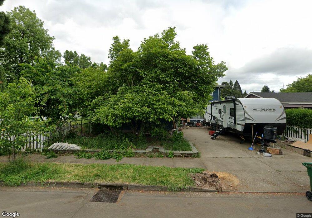
730 Barrett Ave Eugene, OR 97404
River Road NeighborhoodEstimated Value: $412,000 - $451,000
4
Beds
3
Baths
1,980
Sq Ft
$220/Sq Ft
Est. Value
About This Home
This home is located at 730 Barrett Ave, Eugene, OR 97404 and is currently estimated at $434,771, approximately $219 per square foot. 730 Barrett Ave is a home located in Lane County with nearby schools including Howard Elementary School, Kelly Middle School, and North Eugene High School.
Ownership History
Date
Name
Owned For
Owner Type
Purchase Details
Closed on
May 1, 2019
Sold by
Vanderwall Larry D and Vanderwall Mark O
Bought by
Vanderwall Kevin R and Vanderwall Rebeka A
Current Estimated Value
Home Financials for this Owner
Home Financials are based on the most recent Mortgage that was taken out on this home.
Original Mortgage
$210,990
Outstanding Balance
$184,737
Interest Rate
4.2%
Mortgage Type
New Conventional
Estimated Equity
$250,034
Purchase Details
Closed on
Mar 7, 2012
Sold by
Vanderwall Doris M
Bought by
Vanderwall Doris M and Vanderwall Larry D
Create a Home Valuation Report for This Property
The Home Valuation Report is an in-depth analysis detailing your home's value as well as a comparison with similar homes in the area
Home Values in the Area
Average Home Value in this Area
Purchase History
| Date | Buyer | Sale Price | Title Company |
|---|---|---|---|
| Vanderwall Kevin R | $275,000 | Western Title & Escrow | |
| Vanderwall Doris M | -- | None Available |
Source: Public Records
Mortgage History
| Date | Status | Borrower | Loan Amount |
|---|---|---|---|
| Open | Vanderwall Kevin R | $210,990 |
Source: Public Records
Tax History
| Year | Tax Paid | Tax Assessment Tax Assessment Total Assessment is a certain percentage of the fair market value that is determined by local assessors to be the total taxable value of land and additions on the property. | Land | Improvement |
|---|---|---|---|---|
| 2025 | $3,673 | $218,652 | -- | -- |
| 2024 | $3,633 | $212,284 | -- | -- |
| 2023 | $3,633 | $206,101 | $0 | $0 |
| 2022 | $3,417 | $200,099 | $0 | $0 |
| 2021 | $3,178 | $194,271 | $0 | $0 |
| 2020 | $3,201 | $188,613 | $0 | $0 |
| 2019 | $3,064 | $183,120 | $0 | $0 |
| 2018 | $2,481 | $172,609 | $0 | $0 |
| 2017 | $2,305 | $172,609 | $0 | $0 |
| 2016 | $2,180 | $167,582 | $0 | $0 |
| 2015 | $2,096 | $162,701 | $0 | $0 |
| 2014 | $2,088 | $157,962 | $0 | $0 |
Source: Public Records
Map
Nearby Homes
- 1314 Dalton Dr
- 788 Cornwall Ave
- 1566 Maywood Ave
- 1830 Milo Way
- 1682 Hemlock St
- 1164 Veronica Ln
- 1010 N Park Ave
- 1555 Escalante St
- 1633 Zoe Ave
- 1010 Horn Ln
- 1295 Betty Ln
- 1360 Andersen Ln
- 1755 Brentwood Ave
- 2002 Kintyre St
- 389 Maxwell Rd
- 1873 Alderwood St
- 1420 Evergreen Dr
- 1666 Evergreen Dr
- 1880 Manihi Dr
- 1685 Evergreen Dr
- 744 Barrett Ave
- 1336 Emerald Park Dr
- 756 Barrett Ave
- 725 Barrett Ave
- 739 Barrett Ave
- 731 Nantucket Ave
- 1376 Emerald Park Dr
- 751 Barrett Ave
- 768 Barrett Ave
- 747 Nantucket Ave
- 763 Barrett Ave
- 728 Hatton Ave
- 716 Hatton Ave
- 742 Hatton Ave
- 780 Barrett Ave
- 720 Nantucket Ave
- 704 Hatton Ave
- 754 Hatton Ave
- 763 Nantucket Ave
- 775 Barrett Ave
Your Personal Tour Guide
Ask me questions while you tour the home.