730 E 700 N Unit 10 American Fork, UT 84003
Estimated Value: $1,027,000 - $1,355,141
5
Beds
4
Baths
4,370
Sq Ft
$278/Sq Ft
Est. Value
About This Home
This home is located at 730 E 700 N Unit 10, American Fork, UT 84003 and is currently estimated at $1,216,047, approximately $278 per square foot. 730 E 700 N Unit 10 is a home located in Utah County with nearby schools including Barratt Elementary School, American Fork Junior High School, and American Fork High School.
Ownership History
Date
Name
Owned For
Owner Type
Purchase Details
Closed on
Apr 4, 2021
Sold by
Stewart Isaac and Stewart Kara
Bought by
Huddleston Jason Mark and Huddleston Kathryn Daniel
Current Estimated Value
Home Financials for this Owner
Home Financials are based on the most recent Mortgage that was taken out on this home.
Original Mortgage
$400,000
Outstanding Balance
$299,681
Interest Rate
2.9%
Mortgage Type
New Conventional
Estimated Equity
$916,366
Purchase Details
Closed on
Oct 31, 2018
Sold by
Clarke Carole W and Clarke Lawrence S
Bought by
Stewart Isaac and Stewart Kara
Home Financials for this Owner
Home Financials are based on the most recent Mortgage that was taken out on this home.
Original Mortgage
$520,000
Interest Rate
4.6%
Mortgage Type
New Conventional
Create a Home Valuation Report for This Property
The Home Valuation Report is an in-depth analysis detailing your home's value as well as a comparison with similar homes in the area
Home Values in the Area
Average Home Value in this Area
Purchase History
| Date | Buyer | Sale Price | Title Company |
|---|---|---|---|
| Huddleston Jason Mark | -- | Old Republic Title | |
| Stewart Isaac | -- | Meridian Title Co |
Source: Public Records
Mortgage History
| Date | Status | Borrower | Loan Amount |
|---|---|---|---|
| Open | Huddleston Jason Mark | $400,000 | |
| Previous Owner | Stewart Isaac | $520,000 |
Source: Public Records
Tax History
| Year | Tax Paid | Tax Assessment Tax Assessment Total Assessment is a certain percentage of the fair market value that is determined by local assessors to be the total taxable value of land and additions on the property. | Land | Improvement |
|---|---|---|---|---|
| 2025 | $5,495 | $726,330 | -- | -- |
| 2024 | $5,495 | $610,555 | $0 | $0 |
| 2023 | $5,147 | $606,320 | $0 | $0 |
| 2022 | $5,057 | $587,895 | $0 | $0 |
| 2021 | $4,019 | $729,700 | $244,000 | $485,700 |
| 2020 | $3,909 | $688,500 | $225,900 | $462,600 |
| 2019 | $3,728 | $679,100 | $216,500 | $462,600 |
| 2018 | $3,791 | $660,300 | $197,700 | $462,600 |
| 2017 | $3,671 | $345,015 | $0 | $0 |
| 2016 | $3,406 | $297,440 | $0 | $0 |
| 2015 | -- | $294,855 | $0 | $0 |
| 2014 | $3,098 | $253,275 | $0 | $0 |
Source: Public Records
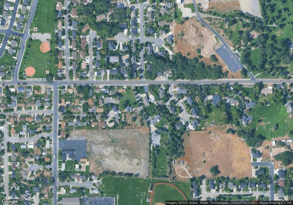
Map
Nearby Homes
- 730 E 700 N
- 730 E 700 N Unit 7
- 730 E 700 N Unit 11
- 730 E 700 N Unit 9
- 730 E 700 N Unit 8
- 730 E 700 N Unit 1
- 730 E 700 N Unit 3
- 730 E 700 N Unit 2
- 730 E 700 N Unit 12
- 730 E 700 N Unit 4
- 730 E 700 N Unit 14
- 730 E 700 N Unit 6
- 697 Riverbirch Cir
- 760 E 700 N
- 712 E 675 N
- 675 Riverbirch Cir
- 710 E 700 N
- 167 E 700 N
- 167 E 700 N Unit 2
- 984 E 700 N Unit 1.00
Your Personal Tour Guide
Ask me questions while you tour the home.