730 Simpson Ln Whitethorn, CA 95589
Estimated Value: $543,964 - $875,000
4
Beds
3
Baths
2,800
Sq Ft
$260/Sq Ft
Est. Value
About This Home
This home is located at 730 Simpson Ln, Whitethorn, CA 95589 and is currently estimated at $728,741, approximately $260 per square foot. 730 Simpson Ln is a home located in Humboldt County.
Ownership History
Date
Name
Owned For
Owner Type
Purchase Details
Closed on
Apr 30, 2016
Sold by
Gray Jesse L and Gray Jesse
Bought by
Peteyq Llc
Current Estimated Value
Purchase Details
Closed on
Jun 25, 2015
Sold by
Gray Erica J and Gray Erica
Bought by
Gray Jesse
Purchase Details
Closed on
Mar 1, 2006
Sold by
Eldridge Rodney Craig and Eldridge Susan Jean
Bought by
Gray Jesse L and Gray Erica J
Home Financials for this Owner
Home Financials are based on the most recent Mortgage that was taken out on this home.
Original Mortgage
$500,000
Interest Rate
6.19%
Mortgage Type
Unknown
Create a Home Valuation Report for This Property
The Home Valuation Report is an in-depth analysis detailing your home's value as well as a comparison with similar homes in the area
Purchase History
| Date | Buyer | Sale Price | Title Company |
|---|---|---|---|
| Peteyq Llc | -- | Fidelity Natl Title Co Of Ca | |
| Gray Jesse | -- | None Available | |
| Gray Jesse L | $700,000 | Fidelity Natl Title Co Of Ca |
Source: Public Records
Mortgage History
| Date | Status | Borrower | Loan Amount |
|---|---|---|---|
| Previous Owner | Gray Jesse L | $500,000 |
Source: Public Records
Tax History
| Year | Tax Paid | Tax Assessment Tax Assessment Total Assessment is a certain percentage of the fair market value that is determined by local assessors to be the total taxable value of land and additions on the property. | Land | Improvement |
|---|---|---|---|---|
| 2025 | $5,475 | $500,000 | $175,000 | $325,000 |
| 2024 | $5,475 | $500,000 | $175,000 | $325,000 |
| 2023 | $7,458 | $669,057 | $284,456 | $384,601 |
| 2022 | $7,340 | $655,939 | $278,879 | $377,060 |
| 2021 | $7,057 | $643,078 | $273,411 | $369,667 |
| 2020 | $7,101 | $636,485 | $270,608 | $365,877 |
| 2019 | $6,920 | $624,005 | $265,302 | $358,703 |
| 2018 | $6,799 | $611,770 | $260,100 | $351,670 |
| 2017 | $6,669 | $599,775 | $255,000 | $344,775 |
| 2016 | $5,522 | $495,000 | $215,000 | $280,000 |
| 2015 | $5,576 | $495,000 | $215,000 | $280,000 |
| 2014 | -- | $780,350 | $334,435 | $445,915 |
Source: Public Records
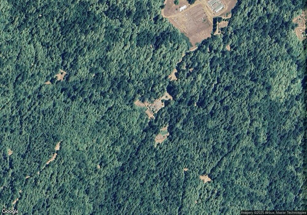
Map
Nearby Homes
- 250 Gibson Creek Rd
- 2505 Huckleberry Ln
- 5500 Goodman Ranch Rd
- 45 Maplehill Ct
- 77320 Usal Rd
- 67 Atchison Ct
- 25 Seneca Ct Unit 10
- 43 & 61 Wood Ct
- 1199 Toth Rd
- 55 Pepperwood Dr
- 1453 Toth Rd
- 34 Vance Rd
- 129 Vance Rd
- 463 Cook Rd
- 2685 Toth Rd Unit 20 Block 193
- 914 Blueridge Rd Unit 13
- 355 Cedarwood Ct
- 112 Willow Glen Rd
- 0 Willow Glen Rd
- +/-72 Acre Goodman Ranch Rd
- 475 Simpson Ln
- 735 Simpson Ln
- 50 Thomas Creek Rd
- 151 Simpson Ln
- 14783 Briceland Thorn Rd
- 14500 Briceland Thorn Rd
- 14400 Briceland Thorn Rd
- 777 Simpson Ln
- 14836 Briceland Thorn Rd
- 225 Green Acres Ln
- 305 Moonlight Meadows Rd
- 15475 Briceland Rd
- 290,305,29 Moonlight Meadows Ln
- 13305 Briceland Thorn Rd
- 290 Moonlight Meadows Rd
- 142 Tranquility Ln
- 114 Moonlight Meadows Rd
- 15495 Briceland Thorn Rd
- 475 Hungry Gulch Rd
- 15384 Briceland Thorn Rd
Your Personal Tour Guide
Ask me questions while you tour the home.