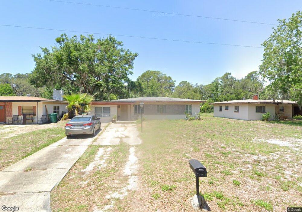
730 Starbird St Eustis, FL 32726
Estimated Value: $187,973 - $276,000
3
Beds
1
Bath
1,149
Sq Ft
$194/Sq Ft
Est. Value
About This Home
This home is located at 730 Starbird St, Eustis, FL 32726 and is currently estimated at $223,243, approximately $194 per square foot. 730 Starbird St is a home located in Lake County with nearby schools including Eustis Heights Elementary School, Eustis Middle School, and Eustis High School.
Ownership History
Date
Name
Owned For
Owner Type
Purchase Details
Closed on
Feb 23, 2001
Sold by
Slauter Carol A
Bought by
Mohr Charles and Mohr Johnna
Current Estimated Value
Home Financials for this Owner
Home Financials are based on the most recent Mortgage that was taken out on this home.
Original Mortgage
$62,910
Outstanding Balance
$21,862
Interest Rate
6.91%
Estimated Equity
$201,381
Purchase Details
Closed on
Dec 30, 1993
Sold by
Catalano Frederick J
Bought by
Slauter Carol A
Home Financials for this Owner
Home Financials are based on the most recent Mortgage that was taken out on this home.
Original Mortgage
$42,000
Interest Rate
7.09%
Create a Home Valuation Report for This Property
The Home Valuation Report is an in-depth analysis detailing your home's value as well as a comparison with similar homes in the area
Home Values in the Area
Average Home Value in this Area
Purchase History
| Date | Buyer | Sale Price | Title Company |
|---|---|---|---|
| Mohr Charles | -- | -- | |
| Slauter Carol A | $44,900 | -- |
Source: Public Records
Mortgage History
| Date | Status | Borrower | Loan Amount |
|---|---|---|---|
| Open | Mohr Charles | $62,910 | |
| Previous Owner | Slauter Carol A | $42,000 |
Source: Public Records
Tax History
| Year | Tax Paid | Tax Assessment Tax Assessment Total Assessment is a certain percentage of the fair market value that is determined by local assessors to be the total taxable value of land and additions on the property. | Land | Improvement |
|---|---|---|---|---|
| 2026 | $554 | $61,560 | -- | -- |
| 2025 | $540 | $59,890 | -- | -- |
| 2024 | $540 | $59,890 | -- | -- |
| 2023 | $540 | $56,460 | $0 | $0 |
| 2022 | $541 | $54,820 | $0 | $0 |
| 2021 | $529 | $53,227 | $0 | $0 |
| 2020 | $550 | $52,493 | $0 | $0 |
| 2019 | $550 | $51,313 | $0 | $0 |
| 2018 | $537 | $50,357 | $0 | $0 |
| 2017 | $522 | $49,322 | $0 | $0 |
| 2016 | $529 | $49,322 | $0 | $0 |
| 2015 | $607 | $57,061 | $0 | $0 |
| 2014 | $608 | $56,609 | $0 | $0 |
Source: Public Records
Map
Nearby Homes
- 500 W Woodward Ave
- 834 Donnelly St
- 620 Titcomb St
- 801 Lakeshore Dr
- 34 Melody Cir
- 1111 South St
- 1021 Titcomb St
- 28 Melody Cir
- 27 Melody Cir
- 102 Sharps Cir
- 207 Sharps Cir
- 1111 Lakeshore Dr Unit A3
- 1111 Lakeshore Dr Unit C4
- 1215 Morin St
- 860 S Grove St
- 10 Sharps Cir
- 8a Sharps Cir
- 206 Osceola Ave
- 1033 S Grove St
- 8 Forest Ln
Your Personal Tour Guide
Ask me questions while you tour the home.