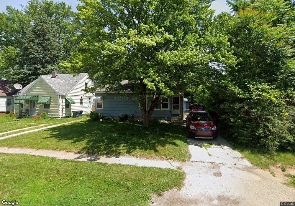
730 Turner Ave Toledo, OH 43607
Scott Park NeighborhoodEstimated Value: $61,000 - $107,000
3
Beds
2
Baths
1,128
Sq Ft
$79/Sq Ft
Est. Value
About This Home
This home is located at 730 Turner Ave, Toledo, OH 43607 and is currently estimated at $89,025, approximately $78 per square foot. 730 Turner Ave is a home located in Lucas County with nearby schools including Keyser Elementary School, Rogers High School, and Victory Academy of Toledo.
Ownership History
Date
Name
Owned For
Owner Type
Purchase Details
Closed on
Oct 28, 2009
Sold by
Norkavage Floyd F and Norkavage Phillip
Bought by
Cales Allan C and Cales Christina M
Current Estimated Value
Home Financials for this Owner
Home Financials are based on the most recent Mortgage that was taken out on this home.
Original Mortgage
$29,947
Outstanding Balance
$19,624
Interest Rate
5.07%
Mortgage Type
FHA
Estimated Equity
$69,401
Purchase Details
Closed on
Dec 13, 2005
Sold by
Norkavage Floyd F and Norkavage Helen H
Bought by
Norkavage Floyd F and Norkavage Phillip
Create a Home Valuation Report for This Property
The Home Valuation Report is an in-depth analysis detailing your home's value as well as a comparison with similar homes in the area
Home Values in the Area
Average Home Value in this Area
Purchase History
| Date | Buyer | Sale Price | Title Company |
|---|---|---|---|
| Cales Allan C | $30,500 | Attorney | |
| Norkavage Floyd F | -- | Liberty Title & Escrow Inc |
Source: Public Records
Mortgage History
| Date | Status | Borrower | Loan Amount |
|---|---|---|---|
| Open | Cales Allan C | $29,947 |
Source: Public Records
Tax History Compared to Growth
Tax History
| Year | Tax Paid | Tax Assessment Tax Assessment Total Assessment is a certain percentage of the fair market value that is determined by local assessors to be the total taxable value of land and additions on the property. | Land | Improvement |
|---|---|---|---|---|
| 2024 | $570 | $17,115 | $4,655 | $12,460 |
| 2023 | $980 | $13,825 | $3,395 | $10,430 |
| 2022 | $968 | $13,825 | $3,395 | $10,430 |
| 2021 | $1,002 | $13,825 | $3,395 | $10,430 |
| 2020 | $1,062 | $12,845 | $3,115 | $9,730 |
| 2019 | $1,023 | $12,845 | $3,115 | $9,730 |
| 2018 | $1,042 | $12,845 | $3,115 | $9,730 |
| 2017 | $1,031 | $12,565 | $3,045 | $9,520 |
| 2016 | $1,043 | $35,900 | $8,700 | $27,200 |
| 2015 | $1,057 | $35,900 | $8,700 | $27,200 |
| 2014 | $790 | $12,570 | $3,050 | $9,520 |
| 2013 | $790 | $12,570 | $3,050 | $9,520 |
Source: Public Records
Map
Nearby Homes
- 914 Turner Ave
- 1117 Broer Ave
- 514 Conrad Ave
- 1408 Roosevelt Ave
- 615 Cuthbert Rd
- 1125 Secor Rd
- 1743 Kensington Rd
- 1106 Alldays Ave
- 1702 Alvin St
- 913 Coventry Ave
- 811 N University Ave
- 1752 Pilgrim Rd
- 908 Coventry Ave
- 1730 Alvin St
- 2666 Montebello Rd
- 1809 Pilgrim Rd
- 1735 Perth St
- 1814 Alvin St
- 1901 Alvin St
- 1911 Alvin St
- 726 Turner Ave
- 736 Turner Ave
- 740 Turner Ave
- 731 Elysian Ave
- 723 Elysian Ave
- 716 Turner Ave
- 733 Elysian Ave
- 737 Elysian Ave
- 802 Turner Ave
- 712 Turner Ave
- 741 Elysian Ave
- 715 Elysian Ave
- 729 Turner Ave
- 725 Turner Ave
- 735 Turner Ave
- 713 Elysian Ave
- 801 Elysian Ave
- 739 Turner Ave
- 804 Turner Ave
- 715 Turner Ave