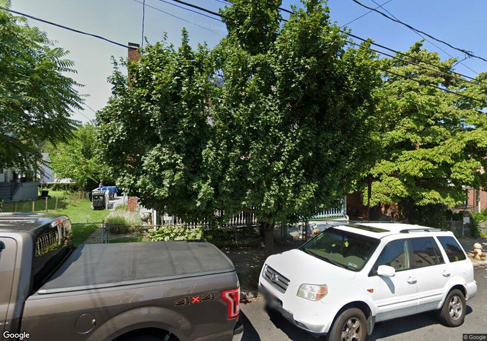
730 Wyandotte St Bethlehem, PA 18015
Downtown Bethlehem NeighborhoodEstimated Value: $119,000 - $199,645
3
Beds
1
Bath
1,104
Sq Ft
$158/Sq Ft
Est. Value
About This Home
This home is located at 730 Wyandotte St, Bethlehem, PA 18015 and is currently estimated at $174,661, approximately $158 per square foot. 730 Wyandotte St is a home located in Northampton County with nearby schools including Fountain Hill Elementary School, Broughal Middle School, and Liberty High School.
Ownership History
Date
Name
Owned For
Owner Type
Purchase Details
Closed on
Apr 22, 2004
Sold by
Fed'L Nat'L Mtg
Bought by
Maldonado David
Current Estimated Value
Home Financials for this Owner
Home Financials are based on the most recent Mortgage that was taken out on this home.
Original Mortgage
$38,320
Outstanding Balance
$17,794
Interest Rate
5.47%
Mortgage Type
New Conventional
Estimated Equity
$156,867
Create a Home Valuation Report for This Property
The Home Valuation Report is an in-depth analysis detailing your home's value as well as a comparison with similar homes in the area
Home Values in the Area
Average Home Value in this Area
Purchase History
| Date | Buyer | Sale Price | Title Company |
|---|---|---|---|
| Maldonado David | $47,900 | -- |
Source: Public Records
Mortgage History
| Date | Status | Borrower | Loan Amount |
|---|---|---|---|
| Open | Maldonado David | $38,320 |
Source: Public Records
Tax History Compared to Growth
Tax History
| Year | Tax Paid | Tax Assessment Tax Assessment Total Assessment is a certain percentage of the fair market value that is determined by local assessors to be the total taxable value of land and additions on the property. | Land | Improvement |
|---|---|---|---|---|
| 2025 | $296 | $27,400 | $10,200 | $17,200 |
| 2024 | $2,422 | $27,400 | $10,200 | $17,200 |
| 2023 | $2,422 | $27,400 | $10,200 | $17,200 |
| 2022 | $2,403 | $27,400 | $10,200 | $17,200 |
| 2021 | $2,387 | $27,400 | $10,200 | $17,200 |
| 2020 | $2,364 | $27,400 | $10,200 | $17,200 |
| 2019 | $2,356 | $27,400 | $10,200 | $17,200 |
| 2018 | $2,299 | $27,400 | $10,200 | $17,200 |
| 2017 | $2,271 | $27,400 | $10,200 | $17,200 |
| 2016 | -- | $27,400 | $10,200 | $17,200 |
| 2015 | -- | $27,400 | $10,200 | $17,200 |
| 2014 | -- | $27,400 | $10,200 | $17,200 |
Source: Public Records
Map
Nearby Homes
- 501 Sioux St
- 634 Ontario St
- 901 Vernon St
- 527 Bradley St
- 731 Fiot Ave
- 463 Montclair Ave
- 963 Wyandotte St
- 628 Cherokee St
- 445 Montclair Ave
- 616 Christian St
- 427 Pawnee St
- 436 Pawnee St
- 432 Cherokee St
- 424 W 4th St
- 419 W 4th St
- 1037 Seneca St
- 1044 Wiley St
- 1106 Broadway
- 1042 Delaware Ave
- 451 Brighton St
- 736 Wyandotte St
- 728 Wyandotte St
- 738 Wyandotte St
- 722 Wyandotte St
- 720 Wyandotte St
- 744 Wyandotte St
- 718 Wyandotte St
- 626 Bradley St
- 746 Wyandotte St
- 713 Wyandotte St
- 716 Wyandotte St
- 630 Bradley St
- 632 Bradley St
- 714 Wyandotte St
- 750 Wyandotte St
- 624 Bradley St
- 643 Bradley St
- 629 Ontario St
- 625 Ontario St
- 710 Wyandotte St