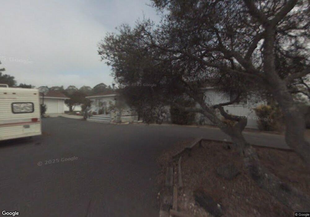
7300 Timeview Way Salinas, CA 93907
Estimated Value: $784,000 - $994,000
4
Beds
2
Baths
1,872
Sq Ft
$491/Sq Ft
Est. Value
About This Home
This home is located at 7300 Timeview Way, Salinas, CA 93907 and is currently estimated at $918,706, approximately $490 per square foot. 7300 Timeview Way is a home located in Monterey County with nearby schools including North Monterey County Middle School, North Monterey County High School, and Oasis Charter Public.
Ownership History
Date
Name
Owned For
Owner Type
Purchase Details
Closed on
Aug 22, 2000
Sold by
Wall Tommy
Bought by
Bronson George and Bronson Esther
Current Estimated Value
Home Financials for this Owner
Home Financials are based on the most recent Mortgage that was taken out on this home.
Original Mortgage
$304,000
Outstanding Balance
$110,071
Interest Rate
8.2%
Estimated Equity
$808,635
Create a Home Valuation Report for This Property
The Home Valuation Report is an in-depth analysis detailing your home's value as well as a comparison with similar homes in the area
Home Values in the Area
Average Home Value in this Area
Purchase History
| Date | Buyer | Sale Price | Title Company |
|---|---|---|---|
| Bronson George | $380,000 | First American Title Co |
Source: Public Records
Mortgage History
| Date | Status | Borrower | Loan Amount |
|---|---|---|---|
| Open | Bronson George | $304,000 |
Source: Public Records
Tax History
| Year | Tax Paid | Tax Assessment Tax Assessment Total Assessment is a certain percentage of the fair market value that is determined by local assessors to be the total taxable value of land and additions on the property. | Land | Improvement |
|---|---|---|---|---|
| 2025 | $6,161 | $572,581 | $226,015 | $346,566 |
| 2024 | $6,161 | $561,355 | $221,584 | $339,771 |
| 2023 | $6,047 | $550,349 | $217,240 | $333,109 |
| 2022 | $6,010 | $539,559 | $212,981 | $326,578 |
| 2021 | $5,782 | $528,980 | $208,805 | $320,175 |
| 2020 | $5,764 | $523,556 | $206,664 | $316,892 |
| 2019 | $5,630 | $513,291 | $202,612 | $310,679 |
| 2018 | $5,535 | $503,228 | $198,640 | $304,588 |
| 2017 | $5,230 | $493,362 | $194,746 | $298,616 |
| 2016 | $5,442 | $483,689 | $190,928 | $292,761 |
| 2015 | $5,244 | $476,425 | $188,061 | $288,364 |
| 2014 | $4,678 | $424,000 | $167,000 | $257,000 |
Source: Public Records
Map
Nearby Homes
- 58 Desmond Rd
- 7190 Azzelio Way
- 17633 Pond Derosa Ln
- 17617 Pond Derosa Ln Unit 29
- 8710 Prunedale North Rd Unit 46
- 6967 Valle Pacifico Rd
- 7013 Valle Pacifico Rd
- 0 Paradise Rd
- 17705 Pond Derosa Ln
- 6640 Kim Ann Ln
- 0 California 156
- 17780 Berta Canyon Rd
- 7442 Leafwood Dr
- 17105 Wilson Way
- 6870 Lakeview Dr
- 809 Maher Rd
- 18221 Berta Canyon Rd
- 221 Tucker Rd
- 18191 Berta Canyon Rd
- 0 Castroville Blvd
- 6980 Timeview Way
- 7310 Timeview Way
- 17519 Castroville Blvd
- 17479 Castroville Blvd
- 17393 Castroville Blvd
- 0 Timeview Way
- 7321 Timeview Way
- 7500 Manzanita Cir
- 0000 Timeview Way
- 7570 Manzanita Cir
- 7620 Manzanita Cir
- 7660 Manzanita Cir
- 7520 Manzanita Cir
- 7301 Timeview Way
- 1451 Castroville Blvd
- 17049 Castroville Blvd
- 1457 Castroville Blvd
- 7370 Timeview Way
- 1449 Castroville Blvd
- 17135 Castroville Blvd Unit 1
Your Personal Tour Guide
Ask me questions while you tour the home.