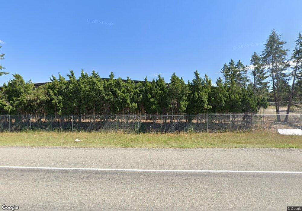
7305 Mt Highway 35 Bigfork, MT 59911
Estimated Value: $754,000 - $1,025,532
3
Beds
1
Bath
1,912
Sq Ft
$465/Sq Ft
Est. Value
About This Home
This home is located at 7305 Mt Highway 35, Bigfork, MT 59911 and is currently estimated at $889,766, approximately $465 per square foot. 7305 Mt Highway 35 is a home located in Flathead County with nearby schools including Bigfork Elementary School, Bigfork Middle School, and Bigfork High School.
Ownership History
Date
Name
Owned For
Owner Type
Purchase Details
Closed on
Jun 3, 2008
Sold by
Aurora Loan Services Llc
Bought by
Dellerson Gwendolyn Roeder
Current Estimated Value
Purchase Details
Closed on
May 10, 2006
Sold by
Andreani Pablo S
Bought by
Andreani Veronica
Purchase Details
Closed on
Nov 4, 2005
Sold by
Nichols Gordon A and Nichols Lorna R
Bought by
Andreani Pablo S
Purchase Details
Closed on
Aug 11, 2005
Sold by
Nichols Gordon A and Nichols Lorna R
Bought by
Nichols Gordon A and Nichols Lorna
Create a Home Valuation Report for This Property
The Home Valuation Report is an in-depth analysis detailing your home's value as well as a comparison with similar homes in the area
Home Values in the Area
Average Home Value in this Area
Purchase History
| Date | Buyer | Sale Price | Title Company |
|---|---|---|---|
| Dellerson Gwendolyn Roeder | -- | First American Title Company | |
| Andreani Veronica | -- | None Available | |
| Andreani Pablo S | -- | None Available | |
| Nichols Gordon A | -- | None Available | |
| Nichols Gordon A | -- | None Available |
Source: Public Records
Tax History Compared to Growth
Tax History
| Year | Tax Paid | Tax Assessment Tax Assessment Total Assessment is a certain percentage of the fair market value that is determined by local assessors to be the total taxable value of land and additions on the property. | Land | Improvement |
|---|---|---|---|---|
| 2025 | $2,729 | $490,644 | $0 | $0 |
| 2024 | $2,513 | $356,322 | $0 | $0 |
| 2023 | $1,883 | $347,400 | $0 | $0 |
| 2022 | $1,950 | $262,800 | $0 | $0 |
| 2021 | $1,976 | $262,800 | $0 | $0 |
| 2020 | $1,629 | $199,200 | $0 | $0 |
| 2019 | $1,572 | $199,200 | $0 | $0 |
| 2018 | $1,592 | $191,900 | $0 | $0 |
| 2017 | $1,537 | $191,900 | $0 | $0 |
| 2016 | $1,568 | $197,600 | $0 | $0 |
| 2015 | $1,431 | $197,600 | $0 | $0 |
| 2014 | $1,716 | $145,485 | $0 | $0 |
Source: Public Records
Map
Nearby Homes
- 200 Sportsman Ln
- 233 Coverdell Rd
- 149 Timothy Hay Way
- 138 Jewel Basin Ct
- 130 Shawnee Dr
- 338 Hanging Rock Dr
- 322 Hanging Rock Dr
- 37 Red Tail Ridge
- 2873 and 2879 Montana 82
- 29 Bearpaw Loop
- 306 Parker Lakes Rd
- 34 Grizzly Ct
- 1358 Ponderosa Ridge Dr
- 344 Chapman Ln
- 196 Pine Needle Ln
- 351 Chapman Ln
- 109 Colter Loop
- 106 Golden Bear Dr
- 145 Fox Run Ct
- 112 Golden Bear Dr
- 150 Coverdell Rd
- 7345 Mt Highway 35
- 7345 Montana 35
- 195 Coverdell Rd
- 180 Coverdell Rd
- 210 Coverdell Rd
- 2879 Mt Highway 82
- 2861 Mt Highway 82
- 105 Ramsfield Rd
- 2873 Mt Highway 82
- Lot 5 Sportsman Ln
- 7480 Mt Highway 35
- 2855 Montana 82
- 2849 Montana 82
- Lot 4 Sportsman Ln
- Lot 4 Sportsmans Ln
- Lot 2 Sportsman's Ln
- Lot 3 Sportsman's Ln
- Lot 4 Sportsman's Ln
- 111 Ramsfield Rd
