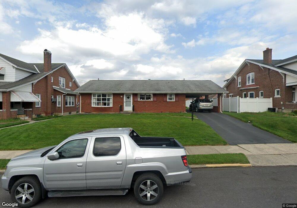
731 N 20th St Unit 737 Allentown, PA 18104
West End Allentown NeighborhoodEstimated Value: $284,000 - $299,000
2
Beds
1
Bath
1,092
Sq Ft
$265/Sq Ft
Est. Value
About This Home
This home is located at 731 N 20th St Unit 737, Allentown, PA 18104 and is currently estimated at $289,783, approximately $265 per square foot. 731 N 20th St Unit 737 is a home located in Lehigh County with nearby schools including Muhlenberg Elementary School, San Rafael Junior High School, and Trexler Middle School.
Ownership History
Date
Name
Owned For
Owner Type
Purchase Details
Closed on
Jun 9, 2025
Sold by
Hromiak Nicholas and Hromiak Sherryn J
Bought by
Hromiak Nicholas and Hromiak Sherryn J
Current Estimated Value
Purchase Details
Closed on
Oct 27, 1989
Sold by
Adams Anna Browning and Adams Browning L
Bought by
Hromiak Nicholas and Hromiak Sherryn J
Purchase Details
Closed on
Feb 15, 1989
Sold by
Schmoyer Rosa L
Bought by
Adams Anna Browning and Adams Browning L
Create a Home Valuation Report for This Property
The Home Valuation Report is an in-depth analysis detailing your home's value as well as a comparison with similar homes in the area
Home Values in the Area
Average Home Value in this Area
Purchase History
| Date | Buyer | Sale Price | Title Company |
|---|---|---|---|
| Hromiak Nicholas | -- | None Listed On Document | |
| Hromiak Nicholas | $106,000 | -- | |
| Adams Anna Browning | -- | -- |
Source: Public Records
Tax History Compared to Growth
Tax History
| Year | Tax Paid | Tax Assessment Tax Assessment Total Assessment is a certain percentage of the fair market value that is determined by local assessors to be the total taxable value of land and additions on the property. | Land | Improvement |
|---|---|---|---|---|
| 2025 | $4,574 | $129,600 | $30,000 | $99,600 |
| 2024 | $4,574 | $129,600 | $30,000 | $99,600 |
| 2023 | $4,574 | $129,600 | $30,000 | $99,600 |
| 2022 | $4,426 | $129,600 | $99,600 | $30,000 |
| 2021 | $4,345 | $129,600 | $30,000 | $99,600 |
| 2020 | $4,241 | $129,600 | $30,000 | $99,600 |
| 2019 | $4,178 | $129,600 | $30,000 | $99,600 |
| 2018 | $3,849 | $129,600 | $30,000 | $99,600 |
| 2017 | $3,759 | $129,600 | $30,000 | $99,600 |
| 2016 | -- | $129,600 | $30,000 | $99,600 |
| 2015 | -- | $129,600 | $30,000 | $99,600 |
| 2014 | -- | $129,600 | $30,000 | $99,600 |
Source: Public Records
Map
Nearby Homes
- 2023 W Washington St
- 1802 W Washington St
- 518 N Saint George St
- 519 N Saint George St
- 1717 W Cedar St
- 1017 N 21st St
- 2150 W Livingston St
- 525 N Leh St
- 2014 W Highland St
- 2221 W Liberty St
- 614 N 23rd St
- 2133 W Gordon St Unit 2135
- 638 N 16th St
- 2140 W Gordon St
- 605 N 16th St
- 605 1/2 N 16th St
- 1742 W Chew St
- 215 N 19th St
- 1135 N 23rd St
- 422 N Fulton St
- 729 N 20th St
- 739 N 20th St Unit 743
- 739 N 20th St Unit 1
- 727 N 20th St
- 745 N 20th St
- 1935 W Green St Unit 1939
- 1939 Green St
- 2001 W Green St
- 747 N 20th St Unit 749
- 2003 W Green St
- 1940 W Washington St
- 1931 W Green St Unit 1933
- 2004 W Green St
- 1938 W Washington St
- 751 N 20th St
- 721 N 20th St Unit 723
- 2005 W Green St
- 1929 W Green St
- 2002 W Washington St Unit 2006
- 1936 W Washington St