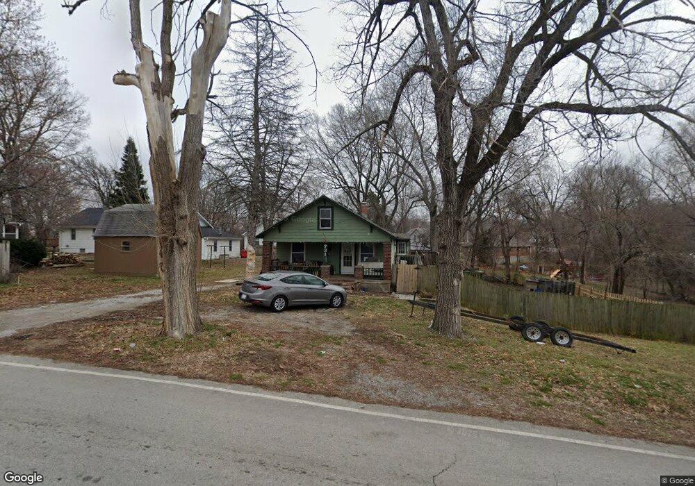
731 N Forest Ave Independence, MO 64050
Bundschu NeighborhoodEstimated Value: $132,801 - $158,000
2
Beds
1
Bath
816
Sq Ft
$181/Sq Ft
Est. Value
About This Home
This home is located at 731 N Forest Ave, Independence, MO 64050 and is currently estimated at $147,450, approximately $180 per square foot. 731 N Forest Ave is a home located in Jackson County with nearby schools including Bryant Elementary School, Bridger Middle School, and Bingham Middle School.
Ownership History
Date
Name
Owned For
Owner Type
Purchase Details
Closed on
Nov 14, 2006
Sold by
Aldorasi Amelia R and Myers Amelia R
Bought by
Yuille Robert L
Current Estimated Value
Home Financials for this Owner
Home Financials are based on the most recent Mortgage that was taken out on this home.
Original Mortgage
$60,000
Outstanding Balance
$35,809
Interest Rate
6.37%
Mortgage Type
Purchase Money Mortgage
Estimated Equity
$111,641
Purchase Details
Closed on
Jul 30, 1996
Sold by
Myers Wayne D
Bought by
Myers Amelia R
Create a Home Valuation Report for This Property
The Home Valuation Report is an in-depth analysis detailing your home's value as well as a comparison with similar homes in the area
Home Values in the Area
Average Home Value in this Area
Purchase History
| Date | Buyer | Sale Price | Title Company |
|---|---|---|---|
| Yuille Robert L | -- | Heart Of America Title & Esc | |
| Myers Amelia R | -- | -- |
Source: Public Records
Mortgage History
| Date | Status | Borrower | Loan Amount |
|---|---|---|---|
| Open | Yuille Robert L | $60,000 |
Source: Public Records
Tax History
| Year | Tax Paid | Tax Assessment Tax Assessment Total Assessment is a certain percentage of the fair market value that is determined by local assessors to be the total taxable value of land and additions on the property. | Land | Improvement |
|---|---|---|---|---|
| 2025 | $1,295 | $19,935 | $3,414 | $16,521 |
| 2024 | $1,266 | $18,696 | $4,267 | $14,429 |
| 2023 | $1,266 | $18,696 | $2,449 | $16,247 |
| 2022 | $1,263 | $17,100 | $5,124 | $11,976 |
| 2021 | $1,263 | $17,100 | $5,124 | $11,976 |
| 2020 | $1,238 | $16,298 | $5,124 | $11,174 |
| 2019 | $1,219 | $16,298 | $5,124 | $11,174 |
| 2018 | $1,111 | $14,184 | $4,459 | $9,725 |
Source: Public Records
Map
Nearby Homes
- 1512 W College St
- 728 N Fuller St
- 1410 W College St
- 11601 E US Highway 24
- 1321 W College St
- 822 N Crysler Ave
- 1019 S Scott Ave
- 1015 S Scott Ave
- 825 N Crysler Ave
- 11225 E US Highway 24
- 405 S Vassar Ave
- 11300 E 11th St S
- 1206 W White Oak St
- 11527 E Lexington Ave
- 11314 E Thompson St
- 11204 E Peery St
- 11518 E Lexington Ave
- 1003 W College St
- 12007 E Alberta St
- 810 W Waldo Ave
- 1519 W College St
- 727 N Forest Ave Unit A
- 727 N Forest Ave
- 1513 W College St
- 1621 W College St
- 711 N Forest Ave
- 802 N Forest Ave
- 724 N Forest Ave
- 709 N Forest Ave
- 1509 W College St
- 722 N Forest Ave
- 804 N Forest Ave
- 11715 E 7th St S
- 1600 W College St
- 707 N Forest Ave
- 1518 W College St
- 1514 W College St
- 716 N Forest Ave
- 1608 W College St
- 705 S Vassar Ave
Your Personal Tour Guide
Ask me questions while you tour the home.