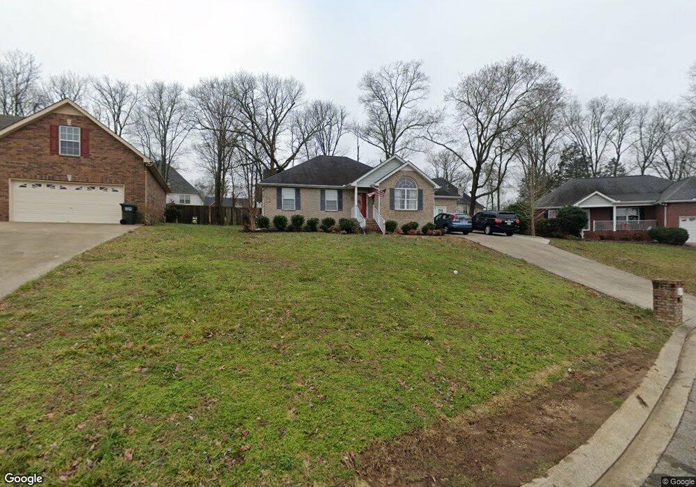
731 Pinoak Cir La Vergne, TN 37086
Estimated Value: $335,323 - $379,000
--
Bed
3
Baths
1,364
Sq Ft
$264/Sq Ft
Est. Value
About This Home
This home is located at 731 Pinoak Cir, La Vergne, TN 37086 and is currently estimated at $360,081, approximately $263 per square foot. 731 Pinoak Cir is a home located in Rutherford County with nearby schools including Cedar Grove Elementary School, Rock Springs Middle School, and Lavergne High School.
Ownership History
Date
Name
Owned For
Owner Type
Purchase Details
Closed on
Sep 20, 2019
Sold by
Trusteeb Inc
Bought by
Berg Randall and Berg Jackie
Current Estimated Value
Purchase Details
Closed on
Feb 26, 2019
Sold by
Clapham Peter and Clapham Shannon
Bought by
Trustee Inc and Clapham Land Family Trust
Purchase Details
Closed on
Jun 15, 2006
Sold by
Sandee Rodene
Bought by
Clapham and Shannon
Home Financials for this Owner
Home Financials are based on the most recent Mortgage that was taken out on this home.
Original Mortgage
$103,500
Interest Rate
7.63%
Purchase Details
Closed on
Aug 12, 2002
Sold by
Homewood Properties
Bought by
Sandee Rodene
Home Financials for this Owner
Home Financials are based on the most recent Mortgage that was taken out on this home.
Original Mortgage
$94,900
Interest Rate
6.53%
Create a Home Valuation Report for This Property
The Home Valuation Report is an in-depth analysis detailing your home's value as well as a comparison with similar homes in the area
Home Values in the Area
Average Home Value in this Area
Purchase History
| Date | Buyer | Sale Price | Title Company |
|---|---|---|---|
| Berg Randall | -- | None Available | |
| Trustee Inc | -- | None Available | |
| Clapham | $138,000 | -- | |
| Sandee Rodene | $109,900 | -- |
Source: Public Records
Mortgage History
| Date | Status | Borrower | Loan Amount |
|---|---|---|---|
| Previous Owner | Sandee Rodene | $103,500 | |
| Previous Owner | Sandee Rodene | $34,500 | |
| Previous Owner | Sandee Rodene | $94,900 |
Source: Public Records
Tax History Compared to Growth
Tax History
| Year | Tax Paid | Tax Assessment Tax Assessment Total Assessment is a certain percentage of the fair market value that is determined by local assessors to be the total taxable value of land and additions on the property. | Land | Improvement |
|---|---|---|---|---|
| 2025 | $1,323 | $70,525 | $13,750 | $56,775 |
| 2024 | $1,323 | $70,525 | $13,750 | $56,775 |
| 2023 | $1,323 | $70,525 | $13,750 | $56,775 |
| 2022 | $1,140 | $70,525 | $13,750 | $56,775 |
| 2021 | $1,051 | $47,350 | $9,375 | $37,975 |
| 2020 | $1,051 | $47,350 | $9,375 | $37,975 |
| 2019 | $1,051 | $47,350 | $9,375 | $37,975 |
| 2018 | $1,330 | $47,350 | $0 | $0 |
| 2017 | $1,425 | $39,250 | $0 | $0 |
| 2016 | $1,425 | $39,250 | $0 | $0 |
| 2015 | $1,435 | $39,250 | $0 | $0 |
| 2014 | $976 | $39,250 | $0 | $0 |
| 2013 | -- | $39,700 | $0 | $0 |
Source: Public Records
Map
Nearby Homes
- 2031 Summit Ln
- 0 Old Nashville Hwy Unit RTC2671318
- 813 Chaney Woods Dr
- 2129 Academy Way
- 2124 Academy Way
- 1407 Portsmouth Ct
- 109 Vincent Ln
- 1063 Stonemark Trail
- 401 Jefferson Pike
- 300 Andrew Tate Ave
- 304 Andrew Tate Ave
- 308 Andrew Tate Ave
- 200 Tyler Cornerstone Trail
- 470 Lydia Ashley Ln
- Harper Plan at Cedar Grove Village
- Camden Plan at Cedar Grove Village
- 704 Heath Place
- 330 Akin St
- 286 Jefferson Pike
- 1726 Elevation JKL Plan at Finch Branch
- 729 Pinoak Cir
- 821 Pinoak Cir
- 630 Butternut Trace
- 2035 Summit Ln
- 727 Pinoak Cir
- 2037 Summit Ln
- 628 Butternut Trace
- 2033 Summit Ln
- 712 Pinoak Cir
- 626 Butternut Trace
- 725 Pinoak Cir
- 624 Butternut Trace
- 195 Chaney Blvd
- 708 Pinoak Cir
- 613 Butternut Trace
- 2026 Summit Ln
- 723 Pinoak Cir
- 622 Butternut Trace
- 2029 Summit Ln
- 704 Pinoak Cir