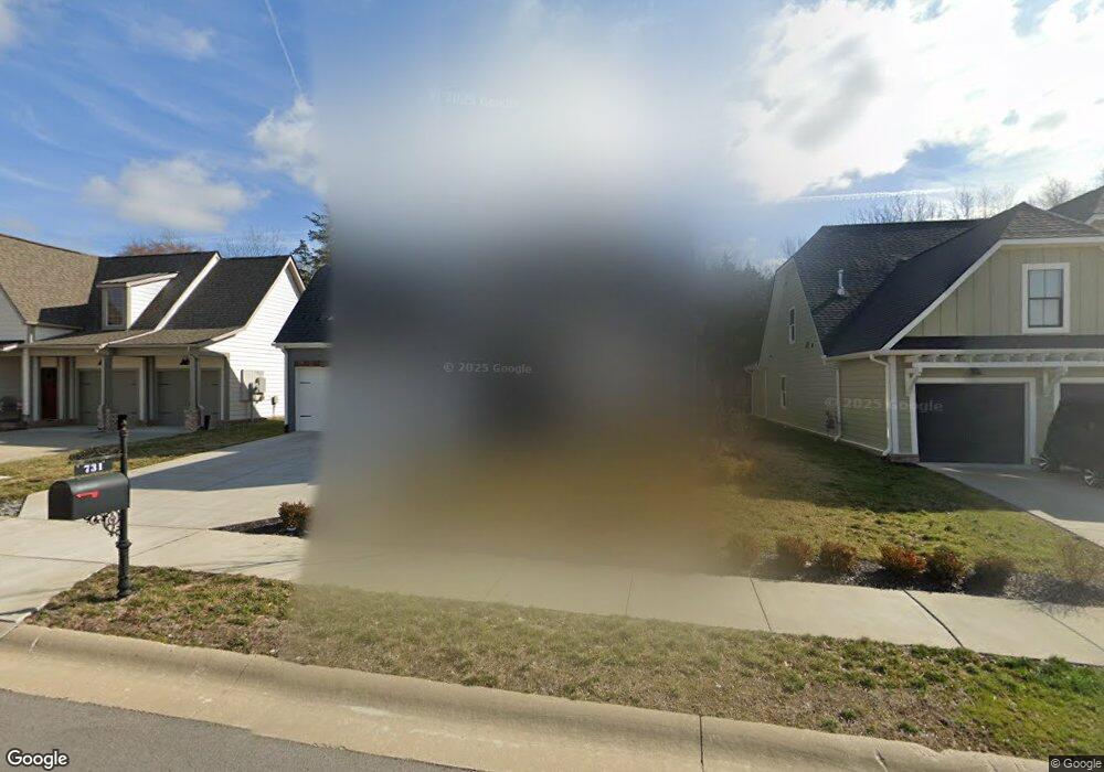
731 Plowson Rd Mount Juliet, TN 37122
Estimated Value: $608,802 - $703,000
--
Bed
3
Baths
2,612
Sq Ft
$254/Sq Ft
Est. Value
About This Home
This home is located at 731 Plowson Rd, Mount Juliet, TN 37122 and is currently estimated at $662,701, approximately $253 per square foot. 731 Plowson Rd is a home located in Wilson County with nearby schools including Stoner Creek Elementary School, West Wilson Middle School, and Mt. Juliet High School.
Ownership History
Date
Name
Owned For
Owner Type
Purchase Details
Closed on
Aug 24, 2022
Sold by
Tapp Michael A and Tapp Kimberly A
Bought by
Shah Dhruv
Current Estimated Value
Home Financials for this Owner
Home Financials are based on the most recent Mortgage that was taken out on this home.
Original Mortgage
$400,000
Outstanding Balance
$338,914
Interest Rate
4.67%
Mortgage Type
New Conventional
Estimated Equity
$323,787
Purchase Details
Closed on
Mar 22, 2019
Sold by
Jackson Hills Partners Llc
Bought by
Tapp Michael and Tapp Kimberly A
Home Financials for this Owner
Home Financials are based on the most recent Mortgage that was taken out on this home.
Original Mortgage
$247,859
Interest Rate
4.4%
Mortgage Type
New Conventional
Purchase Details
Closed on
Nov 13, 2018
Sold by
Propst Realty Nashville Llc
Bought by
Jackson Hills Partners Llc
Create a Home Valuation Report for This Property
The Home Valuation Report is an in-depth analysis detailing your home's value as well as a comparison with similar homes in the area
Home Values in the Area
Average Home Value in this Area
Purchase History
| Date | Buyer | Sale Price | Title Company |
|---|---|---|---|
| Shah Dhruv | $650,000 | None Listed On Document | |
| Tapp Michael | $413,099 | Windmill Title Llc | |
| Jackson Hills Partners Llc | $1,453,500 | Windmill Title Llc |
Source: Public Records
Mortgage History
| Date | Status | Borrower | Loan Amount |
|---|---|---|---|
| Open | Shah Dhruv | $400,000 | |
| Previous Owner | Tapp Michael | $247,859 |
Source: Public Records
Tax History Compared to Growth
Tax History
| Year | Tax Paid | Tax Assessment Tax Assessment Total Assessment is a certain percentage of the fair market value that is determined by local assessors to be the total taxable value of land and additions on the property. | Land | Improvement |
|---|---|---|---|---|
| 2024 | $1,905 | $99,775 | $20,000 | $79,775 |
| 2022 | $1,898 | $99,425 | $20,000 | $79,425 |
| 2021 | $2,007 | $99,425 | $20,000 | $79,425 |
| 2020 | $2,139 | $99,425 | $20,000 | $79,425 |
| 2019 | $409 | $79,625 | $16,250 | $63,375 |
| 2018 | $409 | $16,250 | $16,250 | $0 |
Source: Public Records
Map
Nearby Homes
- 247 Croft Way
- 243 Croft Way
- 701 Plowson Rd
- 270 Croft Way
- 3140 Hidden Creek Dr
- 1012 Zane Dr
- 1010 Zane Dr
- 1019 Zane Dr
- 2011 Stonebrook Cir
- Weston Plan at Bradshaw Farms - Estates
- Ansley Plan at Bradshaw Farms - Estates
- Buchanan Plan at Bradshaw Farms - Estates
- Kingston Plan at Bradshaw Farms - Estates
- Ashford Plan at Bradshaw Farms - Estates
- 1015 Zane Dr
- 1101 Codah Dr
- 1107 Codah Dr
- 1109 Codah Dr
- 27 Yearling Way
- 1113 Codah Dr
- 733 Plowson Rd
- 733 Plowson Rd
- 733 Plowson Rd Unit 536
- 731 Plowson Rd
- 731 Plowson Rd Unit 535
- 729 Plowson Rd Unit 534
- 729 Plowson Rd
- 727 Plowson Rd
- 673 Sire Ave
- 673 Sire Ave
- 673 Sire Ave Unit 508
- 673 Sire Ave
- 735 Plowson Rd
- 735 Plowson Rd
- 735 Plowson Rd Unit 537
- 734 Plowson Rd
- 734 Plowson Rd Unit 507
- 734 Plowson Rd
- 725 Plowson Rd
- 725 Plowson Rd Unit 532