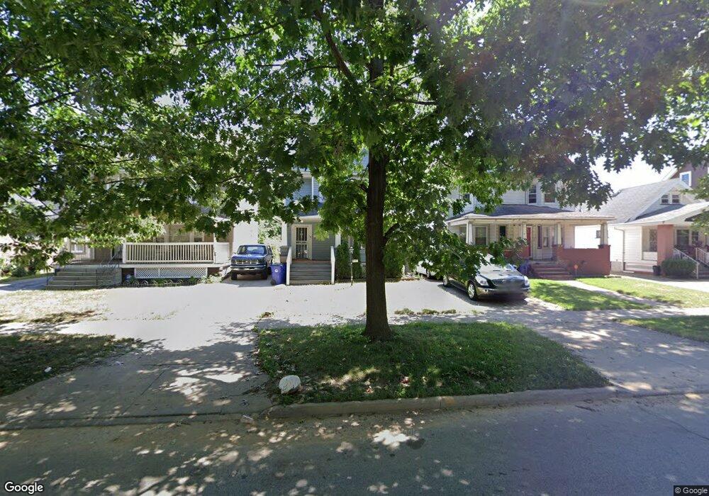
731 Thornhill Dr Cleveland, OH 44108
Forest Hills NeighborhoodEstimated Value: $63,951 - $75,000
3
Beds
1
Bath
1,398
Sq Ft
$50/Sq Ft
Est. Value
About This Home
This home is located at 731 Thornhill Dr, Cleveland, OH 44108 and is currently estimated at $69,238, approximately $49 per square foot. 731 Thornhill Dr is a home located in Cuyahoga County with nearby schools including Bolton, Anton Grdina School, and Andrew J. Rickoff School.
Ownership History
Date
Name
Owned For
Owner Type
Purchase Details
Closed on
Mar 9, 2020
Sold by
Willis Renee
Bought by
Brown James
Current Estimated Value
Purchase Details
Closed on
Feb 6, 2017
Sold by
Dawsun Palmnta Tsa D
Bought by
Wills Rene
Purchase Details
Closed on
May 29, 2015
Sold by
St Clair Superior Development Corporatio
Bought by
Dawson Palmer Ira
Purchase Details
Closed on
May 27, 2015
Sold by
Cuyahoga County Land Reutilization Corpo
Bought by
St Clair Superior Development Corporatio
Purchase Details
Closed on
Apr 22, 2014
Sold by
Fannie Mae
Bought by
Cuyahoga County Land Reutilization Corpo
Purchase Details
Closed on
Nov 25, 2013
Sold by
Brown Steven L
Bought by
Federal National Mortgage Association
Purchase Details
Closed on
May 27, 1997
Sold by
Willa Joseph B
Bought by
Brown Steven L
Purchase Details
Closed on
Jan 1, 1975
Bought by
Wells Joseph B and Wells Versie M
Create a Home Valuation Report for This Property
The Home Valuation Report is an in-depth analysis detailing your home's value as well as a comparison with similar homes in the area
Home Values in the Area
Average Home Value in this Area
Purchase History
| Date | Buyer | Sale Price | Title Company |
|---|---|---|---|
| Brown James | $21,500 | None Available | |
| Wills Rene | $12,000 | None Available | |
| Dawson Palmer Ira | $2,500 | None Available | |
| St Clair Superior Development Corporatio | -- | Attorney | |
| Cuyahoga County Land Reutilization Corpo | $200 | Servicelink Llc | |
| Federal National Mortgage Association | $6,000 | None Available | |
| Brown Steven L | $43,200 | -- | |
| Wells Joseph | -- | -- | |
| Wells Joseph B | -- | -- |
Source: Public Records
Tax History Compared to Growth
Tax History
| Year | Tax Paid | Tax Assessment Tax Assessment Total Assessment is a certain percentage of the fair market value that is determined by local assessors to be the total taxable value of land and additions on the property. | Land | Improvement |
|---|---|---|---|---|
| 2024 | $1,016 | $15,190 | $3,395 | $11,795 |
| 2023 | $712 | $9,180 | $1,440 | $7,740 |
| 2022 | $708 | $9,170 | $1,435 | $7,735 |
| 2021 | $701 | $9,170 | $1,440 | $7,740 |
| 2020 | $650 | $7,530 | $1,190 | $6,340 |
| 2019 | $601 | $21,500 | $3,400 | $18,100 |
| 2018 | $300 | $7,530 | $1,190 | $6,340 |
| 2017 | $767 | $9,070 | $670 | $8,400 |
| 2016 | $353 | $0 | $0 | $0 |
| 2015 | $745 | $0 | $0 | $0 |
| 2014 | $745 | $9,070 | $670 | $8,400 |
Source: Public Records
Map
Nearby Homes
- 753 E 118th St
- 727 E 118th St
- 677 Eddy Rd
- 678 E 118th St
- 647 Eddy Rd
- 627 E 123rd St
- 11515 Hopkins Ave
- 12517 Arlington Ave
- 12528 Edmonton Ave
- 635 E 125th St
- 660 E 126th St
- 656 E 126th St
- 634 E 117th St
- 739 E 127th St
- 885 Eddy Rd
- 617 E 117th St
- 12616 Arlington Ave
- 692 E 128th St
- 627 E 126th St
- 11219 Hopkins Ave
- 727 Thornhill Dr
- 735 Thornhill Dr
- 739 Thornhill Dr
- 723 Thornhill Dr
- 12010 Gray Ave
- 743 Thornhill Dr
- 720 Eddy Rd
- 724 Eddy Rd
- 730 Eddy Rd
- 716 Eddy Rd
- 747 Thornhill Dr
- 734 Eddy Rd
- 707 E 120th St
- 738 Eddy Rd
- 751 Thornhill Dr
- 730 Thornhill Dr
- 734 Thornhill Dr
- 726 Thornhill Dr
- 738 Thornhill Dr
- 722 Thornhill Dr