7310 Kent Point Rd Stevensville, MD 21666
Estimated Value: $4,511,683 - $5,901,000
6
Beds
8
Baths
12,000
Sq Ft
$416/Sq Ft
Est. Value
About This Home
This home is located at 7310 Kent Point Rd, Stevensville, MD 21666 and is currently estimated at $4,991,228, approximately $415 per square foot. 7310 Kent Point Rd is a home located in Queen Anne's County with nearby schools including Matapeake Elementary School, Matapeake Middle School, and Kent Island High School.
Ownership History
Date
Name
Owned For
Owner Type
Purchase Details
Closed on
Mar 15, 2014
Sold by
Giles James R and Giles Joyce Marie
Bought by
7310 Kent Point Road Llc
Current Estimated Value
Purchase Details
Closed on
Dec 28, 2012
Sold by
Giles James R
Bought by
Giles James R and Giles Joyce Marie
Purchase Details
Closed on
Nov 30, 2011
Sold by
First Savings Mortgage Corporation
Bought by
Giles James R and Giles Joyce M
Purchase Details
Closed on
Nov 4, 2011
Sold by
Harris Gregory S and Harris Meredith S
Bought by
First Savings Mortgage Corporation
Purchase Details
Closed on
Jul 30, 2002
Sold by
Callahan Thomas L
Bought by
Coale John P and Coale Greta
Purchase Details
Closed on
Dec 14, 1999
Sold by
Bloody Point Shores Partnership
Bought by
Callahan Thomas L
Create a Home Valuation Report for This Property
The Home Valuation Report is an in-depth analysis detailing your home's value as well as a comparison with similar homes in the area
Home Values in the Area
Average Home Value in this Area
Purchase History
| Date | Buyer | Sale Price | Title Company |
|---|---|---|---|
| 7310 Kent Point Road Llc | -- | None Available | |
| Giles James R | -- | None Available | |
| Giles James R | -- | None Available | |
| Giles James R | $3,000,500 | Bay Title Company | |
| First Savings Mortgage Corporation | $3,460,000 | None Available | |
| Coale John P | $1,239,000 | -- | |
| Callahan Thomas L | $515,000 | -- |
Source: Public Records
Tax History Compared to Growth
Tax History
| Year | Tax Paid | Tax Assessment Tax Assessment Total Assessment is a certain percentage of the fair market value that is determined by local assessors to be the total taxable value of land and additions on the property. | Land | Improvement |
|---|---|---|---|---|
| 2025 | $31,596 | $4,068,433 | $0 | $0 |
| 2024 | $31,596 | $3,619,567 | $0 | $0 |
| 2023 | $29,928 | $3,170,700 | $839,500 | $2,331,200 |
| 2022 | $29,928 | $3,170,700 | $839,500 | $2,331,200 |
| 2021 | $33,332 | $3,170,700 | $839,500 | $2,331,200 |
| 2020 | $33,332 | $3,469,100 | $1,237,700 | $2,231,400 |
| 2019 | $31,941 | $3,324,100 | $0 | $0 |
| 2018 | $30,551 | $3,179,100 | $0 | $0 |
| 2017 | $27,435 | $2,854,200 | $0 | $0 |
| 2016 | -- | $2,854,200 | $0 | $0 |
| 2015 | $39,799 | $2,854,200 | $0 | $0 |
| 2014 | $39,799 | $3,182,400 | $0 | $0 |
Source: Public Records
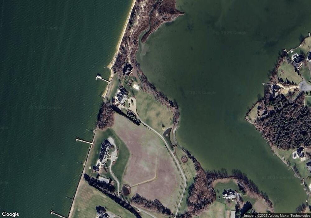
Map
Nearby Homes
- 312 S Lake Dr
- 245 Lighthouse View Dr
- 231 Lighthouse View Dr
- 201 Beachside Dr
- 109 Calvert Rd
- 101 Beachside Dr
- 200 Mallard Cove Ln
- 208 Tower Dr
- 305 N Lake Dr
- 145 N Lake Dr
- 216 Lighthouse View Dr
- 114 N Lake Dr
- 119 N Lake Dr
- 118 N Lake Dr
- 7680 Kent Point Rd
- 137 Tanners Point Dr
- 100 Kent Point Rd
- 102 Chesapeake Bay Dr
- 0 Ackerman Dr
- 212 Ackerman Dr
- 7328 Kent Point Rd
- 7402 Kent Point Rd
- 207 Chews Manor Rd
- 420 Beachside Dr
- 7220 Kent Point Rd
- 211 Chews Manor Rd
- 416 Beachside Dr
- 216 Chews Manor Rd
- 414 Beachside Dr
- 411 Beachside Dr
- 7210 Kent Point Rd
- 212 Chews Manor Rd
- 410 Beachside Dr
- 108 Carville Ct
- 408 Beachside Dr
- 206 Chews Manor Rd
- 201 Chews Manor Rd
- 406 Beachside Dr
- 110 Carville Ct
- 404 Beachside Dr