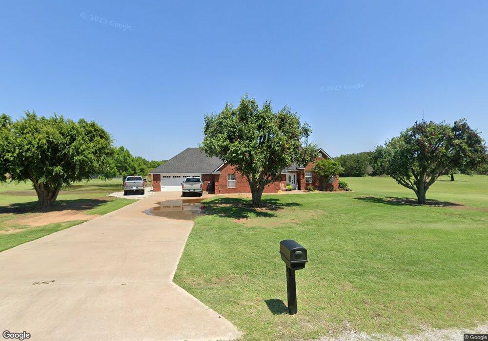
7310 Red Robin Rd Duncan, OK 73533
Estimated Value: $247,000 - $335,000
4
Beds
2
Baths
1,884
Sq Ft
$147/Sq Ft
Est. Value
About This Home
This home is located at 7310 Red Robin Rd, Duncan, OK 73533 and is currently estimated at $277,562, approximately $147 per square foot. 7310 Red Robin Rd is a home located in Stephens County with nearby schools including Marlow Elementary School, Marlow Middle School, and Marlow High School.
Ownership History
Date
Name
Owned For
Owner Type
Purchase Details
Closed on
Jun 26, 2019
Sold by
Ligon Joe D and Ligon Gayla L
Bought by
Higdon Robert D and Higdon Lori C
Current Estimated Value
Purchase Details
Closed on
Jul 20, 2016
Sold by
Ligon Joe and Ligon Gayla L
Bought by
Ligon Joe and Ligon Gayla L
Purchase Details
Closed on
Jul 23, 1996
Sold by
Action Investments Inc
Bought by
Ligon Joe and Ligon Gayla L
Purchase Details
Closed on
Jul 26, 1995
Sold by
Okla National Bank
Create a Home Valuation Report for This Property
The Home Valuation Report is an in-depth analysis detailing your home's value as well as a comparison with similar homes in the area
Purchase History
| Date | Buyer | Sale Price | Title Company |
|---|---|---|---|
| Higdon Robert D | -- | Stephens County Abstract Co | |
| Ligon Joe | -- | None Available | |
| Ligon Joe | $106,000 | -- | |
| -- | $42,500 | -- |
Source: Public Records
Tax History
| Year | Tax Paid | Tax Assessment Tax Assessment Total Assessment is a certain percentage of the fair market value that is determined by local assessors to be the total taxable value of land and additions on the property. | Land | Improvement |
|---|---|---|---|---|
| 2025 | $2,186 | $22,732 | $2,149 | $20,583 |
| 2024 | $2,145 | $21,427 | $2,149 | $19,278 |
| 2023 | $2,080 | $20,862 | $2,149 | $18,713 |
| 2022 | $1,968 | $20,803 | $2,149 | $18,654 |
| 2021 | $1,520 | $16,840 | $2,149 | $14,691 |
| 2020 | $1,716 | $18,360 | $2,149 | $16,211 |
| 2019 | $1,615 | $18,378 | $2,149 | $16,229 |
| 2018 | $1,553 | $18,378 | $2,149 | $16,229 |
| 2017 | $1,504 | $17,842 | $2,149 | $15,693 |
| 2016 | $1,456 | $16,818 | $2,149 | $14,669 |
| 2015 | $1,048 | $16,329 | $2,149 | $14,180 |
| 2014 | $1,048 | $15,853 | $2,149 | $13,704 |
Source: Public Records
Map
Nearby Homes
- 4179 W Gatlin Rd
- 1793 W Gatlin Rd
- 0 N 44th St
- 279389 Highway 7
- 6161 N Alaska Dr
- 6191 N Alaska Dr
- 280251 Tanglewood Dr
- ??? N Highway 81
- E Gatlin Rd Unit Marlow OK 73055
- 278824 E 1690 Rd
- 2001 Kingsbury Rd
- 0 Clear Springs Dr
- 3606 Woodknoll
- 3602 Woodknoll
- 3005 Springdale Ln
- 1308 Twisted Oaks Dr
- 4590 N 5th St
- 805 Daryl Place
- 1105 Twilight Beach Rd
- 3505 Spencer Rd
- 168102 Red Robin Rd
- 7312 Red Robin Rd
- 168057 Red Robin Rd
- 168103 Red Robin Rd
- 7315 Red Robin Rd
- 3125 Scissortail Dr
- 3414 W Gatlin Rd
- 280742 280742 Scissortail
- 168151 168151 Red Robin Rd
- 168151 Red Robin Rd
- 168151 Red Robin Rd
- 3534 W Gatlin Rd
- 280826 Scissortail Dr
- 204 Rr 2
- 236 Rr 2
- 168177 Red Robin Rd
- 3025 Scissortail Dr
- 280870 E 1680 Rd
- 280895 E 1680 Rd
- 7010 Red Robin Rd
Your Personal Tour Guide
Ask me questions while you tour the home.