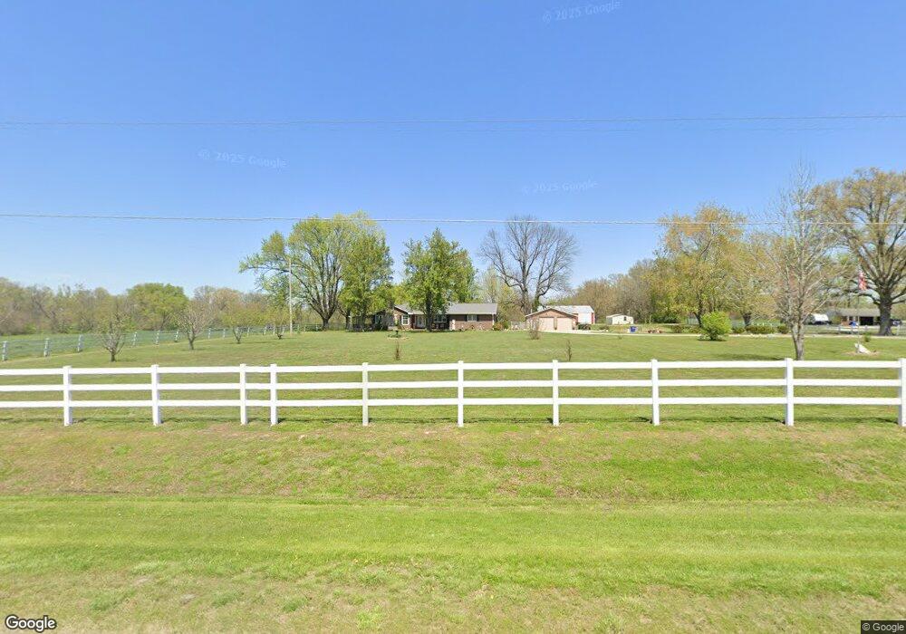
7315 State Rte 154 Tamaroa, IL 62888
Estimated Value: $60,000 - $277,000
--
Bed
--
Bath
--
Sq Ft
0.7
Acres
About This Home
This home is located at 7315 State Rte 154, Tamaroa, IL 62888 and is currently estimated at $133,424. 7315 State Rte 154 is a home located in Perry County with nearby schools including Pinckneyville Community High School and Community Consolidated School.
Ownership History
Date
Name
Owned For
Owner Type
Purchase Details
Closed on
Apr 11, 2024
Sold by
Logan Marion L and Logan Pamela J
Bought by
Logan Marion L and Logan Pamela J
Current Estimated Value
Purchase Details
Closed on
Sep 27, 2010
Sold by
Logan Marion L
Bought by
Logan Marion L and Logan Pamela J
Purchase Details
Closed on
Jul 16, 2010
Sold by
Logan Stephen and Logan Stanley
Bought by
Logan Marion L and Logan Pamela J
Home Financials for this Owner
Home Financials are based on the most recent Mortgage that was taken out on this home.
Original Mortgage
$34,800
Interest Rate
4.83%
Mortgage Type
New Conventional
Create a Home Valuation Report for This Property
The Home Valuation Report is an in-depth analysis detailing your home's value as well as a comparison with similar homes in the area
Home Values in the Area
Average Home Value in this Area
Purchase History
| Date | Buyer | Sale Price | Title Company |
|---|---|---|---|
| Logan Marion L | $80,000 | None Listed On Document | |
| Logan Marion L | -- | None Available | |
| Logan Marion L | $43,500 | First American Title Insuran |
Source: Public Records
Mortgage History
| Date | Status | Borrower | Loan Amount |
|---|---|---|---|
| Previous Owner | Logan Marion L | $34,800 |
Source: Public Records
Tax History Compared to Growth
Tax History
| Year | Tax Paid | Tax Assessment Tax Assessment Total Assessment is a certain percentage of the fair market value that is determined by local assessors to be the total taxable value of land and additions on the property. | Land | Improvement |
|---|---|---|---|---|
| 2023 | $1,630 | $29,184 | $4,244 | $24,940 |
| 2022 | $1,985 | $26,618 | $3,871 | $22,747 |
| 2021 | $1,927 | $24,966 | $3,631 | $21,335 |
| 2020 | $1,929 | $23,102 | $3,360 | $19,742 |
| 2019 | $1,911 | $22,429 | $3,262 | $19,167 |
| 2018 | $1,914 | $22,429 | $3,262 | $19,167 |
| 2017 | $1,933 | $22,826 | $3,320 | $19,506 |
| 2016 | $1,879 | $22,394 | $3,257 | $19,137 |
| 2015 | $1,879 | $22,394 | $3,257 | $19,137 |
| 2013 | $1,818 | $21,318 | $3,101 | $18,217 |
Source: Public Records
Map
Nearby Homes
- Off Parakeet Rd Unit Lot WP007
- Off Parakeet Rd Unit Lot WP001
- 3524 U S 51
- Off Parakeet Raod Unit Lot WP004
- 4171 District 204 Rd
- 7655 Hardscrabble Rd
- 3349 Bell Ln
- Off Pintail Rd Unit Lot WP002
- Ski Rd Unit Pintail Road
- 4868 Foxtail Ln 0 Ln
- 4868 Foxtail Ln
- 2613 Pecan Rd
- 734 N Division St
- Off Shamrock Rd Unit Lot WP003
- 508 Hidden Lakes Dr
- 418 E Keyes St
- 402 E Keyes St
- 107 N Division St
- 507 W Main St
- 419 W Main St
- 7305 State Rte 154
- 7112 State Rte 154
- 7162 State Rte 154
- 7409 State Rte 154
- 7394 State Rte 154
- 7362 State Rte 154
- 7431 State Rte 154
- 7447 State Rte 154
- 7112 Illinois 154
- 7505 State Rte 154
- 7430 State Rte 154
- 7490 State Rte 154
- 7418 State Rte 154
- 7418 State Rte 154
- 3808 Albers Rd
- 7138 State Route 154
- 7037 Illinois 154
- 3816 Albers Rd
- 3856 Albers Rd
- 7582 State Rte 154