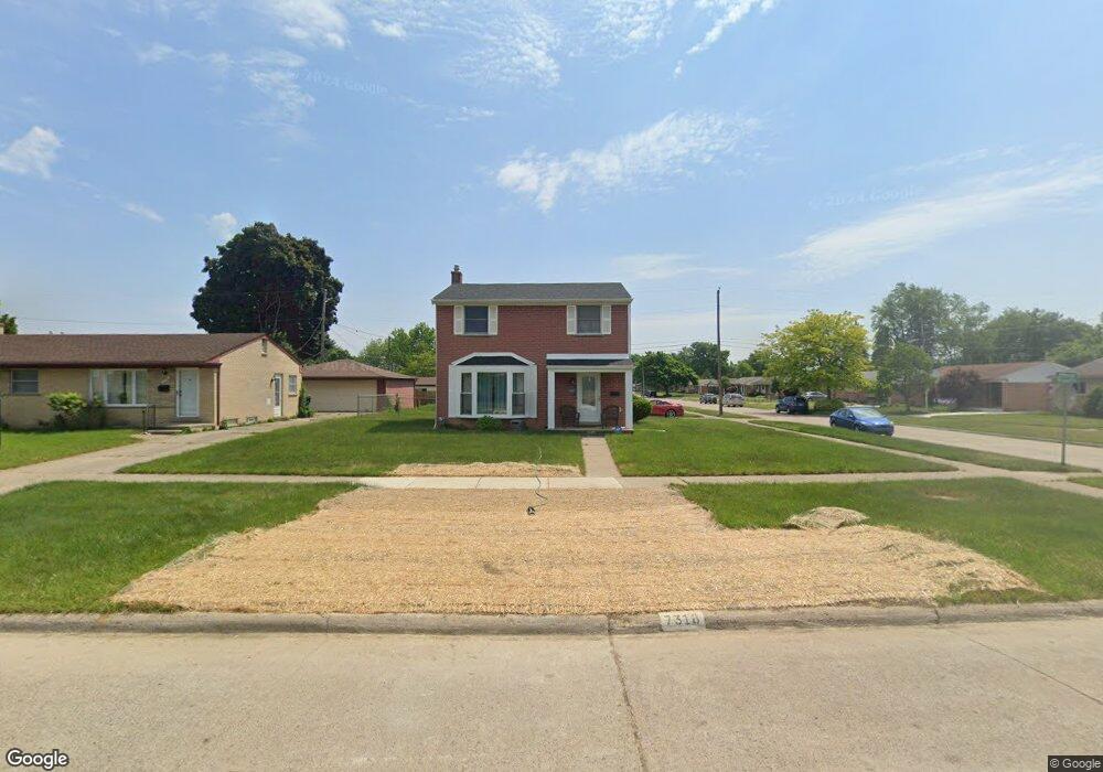
7318 N Wildwood St Unit Bldg-Unit Westland, MI 48185
Estimated Value: $236,000 - $286,000
--
Bed
2
Baths
1,274
Sq Ft
$204/Sq Ft
Est. Value
About This Home
This home is located at 7318 N Wildwood St Unit Bldg-Unit, Westland, MI 48185 and is currently estimated at $260,035, approximately $204 per square foot. 7318 N Wildwood St Unit Bldg-Unit is a home located in Wayne County with nearby schools including Thomas A. Edison Elementary School, Marshall Upper Elementary School, and Adlai Stevenson Middle School.
Ownership History
Date
Name
Owned For
Owner Type
Purchase Details
Closed on
Aug 30, 2018
Sold by
Canales Kelli
Bought by
Tatum Quinton and Tatum Tenea Cost
Current Estimated Value
Purchase Details
Closed on
Nov 25, 2014
Sold by
Canales Matthew
Bought by
Canales Kelli
Purchase Details
Closed on
Aug 31, 2005
Sold by
Komarynski Russell and Komarynski Helen E
Bought by
Canales Matthew
Create a Home Valuation Report for This Property
The Home Valuation Report is an in-depth analysis detailing your home's value as well as a comparison with similar homes in the area
Home Values in the Area
Average Home Value in this Area
Purchase History
| Date | Buyer | Sale Price | Title Company |
|---|---|---|---|
| Tatum Quinton | $153,500 | Core Title Llc | |
| Canales Kelli | -- | None Available | |
| Canales Matthew | $160,000 | Metropolitan Title Company |
Source: Public Records
Tax History Compared to Growth
Tax History
| Year | Tax Paid | Tax Assessment Tax Assessment Total Assessment is a certain percentage of the fair market value that is determined by local assessors to be the total taxable value of land and additions on the property. | Land | Improvement |
|---|---|---|---|---|
| 2025 | $3,325 | $113,400 | $0 | $0 |
| 2024 | $3,325 | $104,100 | $0 | $0 |
| 2023 | $3,175 | $90,300 | $0 | $0 |
| 2022 | $3,668 | $81,100 | $0 | $0 |
| 2021 | $3,576 | $77,300 | $0 | $0 |
| 2020 | $3,537 | $71,700 | $0 | $0 |
| 2019 | $3,409 | $68,400 | $0 | $0 |
| 2018 | $2,090 | $62,700 | $0 | $0 |
| 2017 | $1,851 | $60,000 | $0 | $0 |
| 2016 | $2,836 | $59,700 | $0 | $0 |
| 2015 | $4,755 | $51,960 | $0 | $0 |
| 2013 | $4,517 | $46,140 | $0 | $0 |
| 2012 | $2,181 | $45,860 | $0 | $0 |
Source: Public Records
Map
Nearby Homes
- 37175 Russell Dr
- 32238 Meridian Dr
- 34153 Warren Rd
- 34036 Pawnee St
- 6815 Apache Trail
- 6963 Bison St
- 33652 Cowan Rd
- 7910 Nankin Mills St
- 6912 Moccasin St
- 34203 Tomahawk Dr
- 7436 Cochise St
- 33312 Lynx St
- 6790 Emily Ct
- 33030 Cowan Rd
- 0 N Wayne Rd
- 7051 Wayne Rd
- 1812/ 1824 Imperial Hwy
- 8433 Berwick Dr
- 6546 Quail Run Cir
- 35737 Hunter Ave
- 7318 N Wildwood St
- 7330 N Wildwood St
- 34140 Majestic St
- 7344 N Wildwood St
- 34153 Majestic St
- 34128 Majestic St
- 34147 Standish St
- 34141 Majestic St
- 34135 Standish St
- 34129 Majestic St
- 7315 N Wildwood St
- 7327 N Wildwood St
- 34114 Majestic St
- 7303 N Wildwood St
- 7273 N Wildwood St
- 34117 Majestic St
- 7244 N Wildwood St
- 7261 N Wildwood St
- 34123 Standish St
- 7351 N Wildwood St