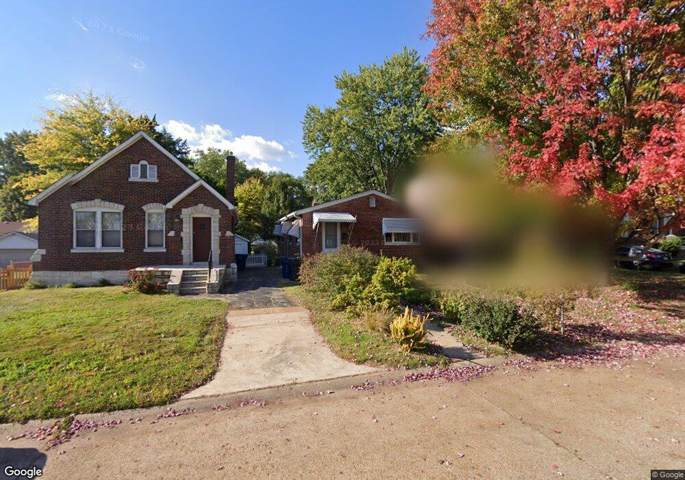
7319 Sharp Ave Saint Louis, MO 63116
Boulevard Heights NeighborhoodEstimated Value: $171,000 - $205,000
About This Home
This home is located at 7319 Sharp Ave, Saint Louis, MO 63116 and is currently estimated at $190,001, approximately $104 per square foot. 7319 Sharp Ave is a home located in St. Louis City with nearby schools including Woerner Elementary School, Long International Middle School, and Roosevelt High School.
Ownership History
We collect this data history from publicly available records. To have your information removed, we recommend requesting removal directly through your county’s website.
Purchase Details
Purchase Details
Home Values in the Area
Average Home Value in this Area
Purchase History
We collect this data history from publicly available records. To have your information removed, we recommend requesting removal directly through your county’s website.
| Date | Buyer | Sale Price | Title Company |
|---|---|---|---|
| -- | -- | ||
| -- | -- |
Tax History
We collect this data history from publicly available records. To have your information removed, we recommend requesting removal directly through your county’s website.
| Year | Tax Paid | Tax Assessment Tax Assessment Total Assessment is a certain percentage of the fair market value that is determined by local assessors to be the total taxable value of land and additions on the property. | Land | Improvement |
|---|---|---|---|---|
| 2026 | $2,429 | $29,330 | $1,940 | $27,390 |
| 2025 | $2,219 | $29,330 | $1,940 | $27,390 |
| 2024 | $2,111 | $26,170 | $1,940 | $24,230 |
| 2023 | $2,111 | $26,170 | $1,940 | $24,230 |
| 2022 | $1,977 | $23,580 | $1,940 | $21,640 |
| 2021 | $1,974 | $23,580 | $1,940 | $21,640 |
| 2020 | $1,741 | $20,920 | $1,940 | $18,980 |
| 2019 | $1,735 | $20,920 | $1,940 | $18,980 |
| 2018 | $1,617 | $18,870 | $1,620 | $17,250 |
| 2017 | $1,590 | $18,870 | $1,620 | $17,250 |
| 2016 | $1,553 | $18,200 | $1,620 | $16,590 |
| 2015 | $1,409 | $18,210 | $1,620 | $16,590 |
| 2014 | $1,389 | $18,210 | $1,620 | $16,590 |
| 2013 | -- | $17,940 | $1,620 | $16,320 |
Map
- 7316 Sharp Ave
- 7321 Coronado Ave
- 7137 Marwinette Ave
- 3853 Rainor Ct
- 7109 Yates St
- 3838 Rainor Ct
- 7123 Trainor Place
- 7119 Trainor Place
- 7153 Whaley Place
- 3927 French Ct
- 4117 Louis St
- 4120 Loughborough Ave
- 3829 Primm St
- 5321 Tesson Ct
- 3736 Carondelet Blvd
- 3733 Louis St
- 7448 Morganford Rd
- 3745 Primm St
- 6623 Leona St
- 3667 Steins St
- 7312 Sharp Ave
- 7320 Sharp Ave
- 7317 Marwinette Ave
- 7313 Marwinette Ave
- 7308 Sharp Ave
- 7326 Sharp Ave
- 7321 Marwinette Ave
- 7309 Marwinette Ave
- 7325 Marwinette Ave
- 7327 Sharp Ave
- 7321 Sharp Ave
- 7305 Marwinette Ave
- 7331 Sharp Ave
- 7334 Sharp Ave
- 3940 Robert Ave
- 7335 Sharp Ave
- 7315 Sharp Ave
- 7329 Marwinette Ave
- 7311 Sharp Ave
- 7301 Marwinette Ave
Ask me questions while you tour the home.