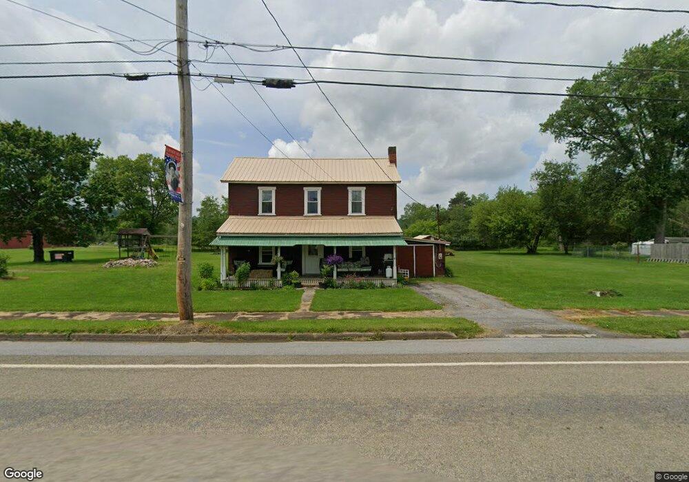
7320 Main St Burnside, PA 15721
Estimated Value: $59,707 - $139,000
--
Bed
--
Bath
--
Sq Ft
9,583
Sq Ft Lot
About This Home
This home is located at 7320 Main St, Burnside, PA 15721 and is currently estimated at $93,677. 7320 Main St is a home with nearby schools including Purchase Line Elementary School and Purchase Line Junior/Senior High School.
Ownership History
Date
Name
Owned For
Owner Type
Purchase Details
Closed on
Sep 23, 2025
Sold by
Wheatley-White Candace L and White John C
Bought by
White Dusten J
Current Estimated Value
Purchase Details
Closed on
Aug 6, 2021
Sold by
White Dusten J
Bought by
Wheatley White Candace L and White John C
Purchase Details
Closed on
Jul 10, 2017
Sold by
Wheatley White Candace L and White John C
Bought by
White Dusten J
Purchase Details
Closed on
Oct 31, 2014
Sold by
Wheatley Candace L
Bought by
Wheatley Candace L and White John C
Purchase Details
Closed on
Oct 23, 2003
Sold by
Costo Paul A and Costo Mary
Bought by
Wheatley Candace L
Create a Home Valuation Report for This Property
The Home Valuation Report is an in-depth analysis detailing your home's value as well as a comparison with similar homes in the area
Home Values in the Area
Average Home Value in this Area
Purchase History
| Date | Buyer | Sale Price | Title Company |
|---|---|---|---|
| White Dusten J | -- | None Listed On Document | |
| Wheatley White Candace L | -- | None Available | |
| White Dusten J | -- | None Available | |
| Wheatley Candace L | -- | None Available | |
| Wheatley Candace L | $15,000 | -- |
Source: Public Records
Tax History Compared to Growth
Tax History
| Year | Tax Paid | Tax Assessment Tax Assessment Total Assessment is a certain percentage of the fair market value that is determined by local assessors to be the total taxable value of land and additions on the property. | Land | Improvement |
|---|---|---|---|---|
| 2025 | $497 | $7,600 | $1,250 | $6,350 |
| 2024 | $95 | $3,800 | $625 | $3,175 |
| 2023 | $441 | $3,800 | $625 | $3,175 |
| 2022 | $419 | $3,800 | $625 | $3,175 |
| 2021 | $410 | $3,800 | $625 | $3,175 |
| 2020 | $410 | $3,800 | $625 | $3,175 |
| 2019 | $411 | $3,800 | $625 | $3,175 |
| 2018 | $385 | $3,800 | $625 | $3,175 |
| 2017 | $398 | $3,800 | $625 | $3,175 |
| 2016 | -- | $3,800 | $625 | $3,175 |
| 2015 | -- | $3,800 | $625 | $3,175 |
| 2014 | -- | $3,800 | $625 | $3,175 |
Source: Public Records
Map
Nearby Homes
- 68 Maple St
- 83 Ankney Ln
- 3266 Fire Tower Rd
- 7157 Ridge Rd
- 1527 Deer Run Rd
- 302 Arcadia Rd
- 00 Glen Campbell Rd
- 327.9 Acres Mahaffey Grampian Hwy
- 0 Pennsylvania 36
- 222 E Main St
- 0 Owens Rd
- 0 Route 580 Hwy Unit 5 23971218
- 709 Westover Rd
- 1669 Sylvis Rd
- 333 Clover Run Rd
- 00 Johnson Rd
- 00 Johnston Rd
- 511 Clover Run Rd
- 121 N Main St
- 4053 Pioneer Lake Rd