7320 Martindale Rd Shawnee, KS 66218
Estimated Value: $533,000 - $595,000
4
Beds
3
Baths
2,491
Sq Ft
$229/Sq Ft
Est. Value
About This Home
This home is located at 7320 Martindale Rd, Shawnee, KS 66218 and is currently estimated at $570,179, approximately $228 per square foot. 7320 Martindale Rd is a home located in Johnson County with nearby schools including Horizon Elementary School, Mill Creek Middle School, and Mill Valley High School.
Ownership History
Date
Name
Owned For
Owner Type
Purchase Details
Closed on
Sep 16, 2020
Sold by
Henning Todd A and Henning Kristina C
Bought by
Beier Brett A and Beier Ellen E
Current Estimated Value
Create a Home Valuation Report for This Property
The Home Valuation Report is an in-depth analysis detailing your home's value as well as a comparison with similar homes in the area
Home Values in the Area
Average Home Value in this Area
Purchase History
| Date | Buyer | Sale Price | Title Company |
|---|---|---|---|
| Beier Brett A | -- | Stewart Title Company |
Source: Public Records
Tax History Compared to Growth
Tax History
| Year | Tax Paid | Tax Assessment Tax Assessment Total Assessment is a certain percentage of the fair market value that is determined by local assessors to be the total taxable value of land and additions on the property. | Land | Improvement |
|---|---|---|---|---|
| 2024 | $5,735 | $49,301 | $10,148 | $39,153 |
| 2023 | $5,452 | $46,368 | $10,148 | $36,220 |
| 2022 | $5,421 | $45,161 | $10,148 | $35,013 |
| 2021 | $5,024 | $40,250 | $7,363 | $32,887 |
| 2020 | $4,514 | $35,822 | $7,363 | $28,459 |
| 2019 | $4,477 | $35,006 | $6,706 | $28,300 |
| 2018 | $4,312 | $34,350 | $5,806 | $28,544 |
| 2017 | $4,148 | $31,349 | $5,806 | $25,543 |
| 2016 | $4,209 | $31,429 | $5,806 | $25,623 |
| 2015 | $4,192 | $30,762 | $5,806 | $24,956 |
| 2013 | -- | $28,727 | $5,806 | $22,921 |
Source: Public Records
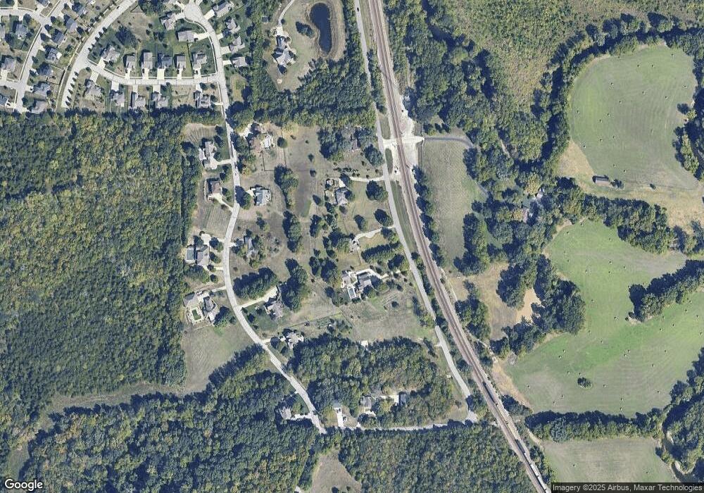
Map
Nearby Homes
- 20721 W 72nd Terrace
- 20913 W 72nd St
- 21405 W 73rd Terrace
- 20805 W 68th Terrace
- The Denali Plan at Parkside Reserve
- Crestwood Plan at Parkside Reserve - Premier Collection
- Avalon Plan at Parkside Reserve - Premier Collection
- Birmingham III Plan at Parkside Reserve
- The Biscayne Plan at Parkside Reserve
- Adeline Plan at Parkside Reserve
- Lexington Plan at Parkside Reserve - Premier Collection
- The Squoia Parkside Plan at Parkside Reserve
- The Acadia Plan at Parkside Reserve
- 15517 W 168th Terrace
- The Sandstone Plan at Parkside Reserve
- Asheville 2 Story Plan at Parkside Reserve
- Brookside Plan at Parkside Reserve - Premier Collection
- The Olympia Plan at Parkside Reserve
- The Hudson Plan at Parkside Reserve
- Marietta Plan at Parkside Reserve
- 7320 Martindale Rd
- 7410 Martindale Rd
- 7312 Martindale Rd
- 7329 Woodland Rd
- 7411 Woodland Rd
- 7319 Woodland Dr
- 7306 Martindale Rd
- 7421 Woodland Rd
- 7421 Woodland Dr
- 7305 Woodland Rd
- 7322 Woodland Dr
- 7300 Woodland Dr
- 7300 Woodland N A
- 20640 W 75th St
- 7322 Woodland Rd
- 7328 Woodland Rd
- 20628 W 75th St
- 7412 Woodland Rd
- 7308 Woodland Rd
- 7438 Woodland Rd