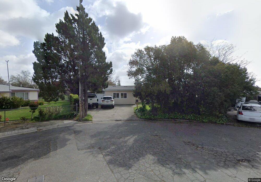
7323 Rutter Ct Sacramento, CA 95828
Estimated Value: $316,000 - $383,000
3
Beds
1
Bath
1,098
Sq Ft
$317/Sq Ft
Est. Value
About This Home
This home is located at 7323 Rutter Ct, Sacramento, CA 95828 and is currently estimated at $347,841, approximately $316 per square foot. 7323 Rutter Ct is a home located in Sacramento County with nearby schools including Florin Elementary School, James Rutter Middle School, and Florin High School.
Ownership History
Date
Name
Owned For
Owner Type
Purchase Details
Closed on
Jul 13, 2016
Sold by
Vue Paul Pao and Vue Xia Vang
Bought by
Vue Xia Vang
Current Estimated Value
Purchase Details
Closed on
Nov 30, 1995
Sold by
Hensley Velma J
Bought by
Vue Paul P and Vue Xia V
Home Financials for this Owner
Home Financials are based on the most recent Mortgage that was taken out on this home.
Original Mortgage
$75,597
Outstanding Balance
$1,563
Interest Rate
7.48%
Mortgage Type
FHA
Estimated Equity
$346,278
Create a Home Valuation Report for This Property
The Home Valuation Report is an in-depth analysis detailing your home's value as well as a comparison with similar homes in the area
Home Values in the Area
Average Home Value in this Area
Purchase History
| Date | Buyer | Sale Price | Title Company |
|---|---|---|---|
| Vue Xia Vang | -- | None Available | |
| Vue Paul P | $76,000 | Placer Title Company |
Source: Public Records
Mortgage History
| Date | Status | Borrower | Loan Amount |
|---|---|---|---|
| Open | Vue Paul P | $75,597 |
Source: Public Records
Tax History
| Year | Tax Paid | Tax Assessment Tax Assessment Total Assessment is a certain percentage of the fair market value that is determined by local assessors to be the total taxable value of land and additions on the property. | Land | Improvement |
|---|---|---|---|---|
| 2025 | $1,401 | $126,058 | $38,193 | $87,865 |
| 2024 | $1,401 | $123,588 | $37,445 | $86,143 |
| 2023 | $1,367 | $121,165 | $36,711 | $84,454 |
| 2022 | $1,344 | $118,791 | $35,992 | $82,799 |
| 2021 | $1,330 | $116,463 | $35,287 | $81,176 |
| 2020 | $1,307 | $115,270 | $34,926 | $80,344 |
| 2019 | $1,283 | $113,011 | $34,242 | $78,769 |
| 2018 | $1,250 | $110,796 | $33,571 | $77,225 |
| 2017 | $1,229 | $108,624 | $32,913 | $75,711 |
| 2016 | $1,168 | $106,495 | $32,268 | $74,227 |
| 2015 | $1,146 | $104,897 | $31,784 | $73,113 |
| 2014 | $1,128 | $102,843 | $31,162 | $71,681 |
Source: Public Records
Map
Nearby Homes
- 7252 Jerry Way
- 8160 Judette Ave
- 7309 Power Inn Rd
- 7440 Debutante Ln
- 8212 Coed Ln
- 7447 Mills Grove Ct
- 8229 Coed Ln
- 8221 Tiki Ln
- 8227 Tiki Ln
- 8282 Moorhaven Way
- 7450 Della Cir
- 8271 Moorhaven Way
- 8228 Faith Ln
- 7821 Scottsdale Dr
- 7702 Loucreta Dr
- 7808 Camrose Way
- 7421 Palmer House Dr
- 8033 Renton Way
- 8048 Renton Way
- 9 Pina St
Your Personal Tour Guide
Ask me questions while you tour the home.