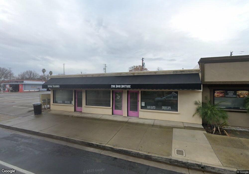
733 2nd St Brentwood, CA 94513
Estimated Value: $444,087
--
Bed
--
Bath
1,892
Sq Ft
$235/Sq Ft
Est. Value
About This Home
This home is located at 733 2nd St, Brentwood, CA 94513 and is currently estimated at $444,087, approximately $234 per square foot. 733 2nd St is a home located in Contra Costa County with nearby schools including Garin Elementary School, Edna Hill Middle School, and Liberty High School.
Ownership History
Date
Name
Owned For
Owner Type
Purchase Details
Closed on
Mar 30, 2025
Sold by
Dinos Sandwich Shop and C Finn Enterprises Llc
Bought by
Gregory Tom and Gregory Tracey
Current Estimated Value
Purchase Details
Closed on
Sep 23, 2024
Sold by
Steven And Carole Hendrickson Trust and Soloway Elizabeth
Bought by
Miller Connie
Purchase Details
Closed on
Sep 29, 2014
Sold by
Hendrickson Steven
Bought by
The Steven & Carole Hendrickson Trust
Purchase Details
Closed on
Dec 7, 2007
Sold by
Garaventa Les and Current Sheri
Bought by
Hendrickson Steven
Create a Home Valuation Report for This Property
The Home Valuation Report is an in-depth analysis detailing your home's value as well as a comparison with similar homes in the area
Home Values in the Area
Average Home Value in this Area
Purchase History
| Date | Buyer | Sale Price | Title Company |
|---|---|---|---|
| Gregory Tom | $450,000 | None Listed On Document | |
| Miller Connie | -- | Old Republic Title | |
| The Steven & Carole Hendrickson Trust | -- | None Available | |
| Hendrickson Steven | -- | None Available |
Source: Public Records
Tax History Compared to Growth
Tax History
| Year | Tax Paid | Tax Assessment Tax Assessment Total Assessment is a certain percentage of the fair market value that is determined by local assessors to be the total taxable value of land and additions on the property. | Land | Improvement |
|---|---|---|---|---|
| 2025 | $1,786 | $470,000 | $85,000 | $385,000 |
| 2024 | $1,786 | $152,296 | $68,532 | $83,764 |
| 2023 | $1,759 | $149,311 | $67,189 | $82,122 |
| 2022 | $1,731 | $146,384 | $65,872 | $80,512 |
| 2021 | $1,687 | $143,515 | $64,581 | $78,934 |
| 2019 | $1,689 | $139,260 | $62,666 | $76,594 |
| 2018 | $1,603 | $136,531 | $61,438 | $75,093 |
| 2017 | $1,605 | $133,855 | $60,234 | $73,621 |
| 2016 | $1,543 | $131,231 | $59,053 | $72,178 |
| 2015 | $1,501 | $129,260 | $58,166 | $71,094 |
| 2014 | $1,496 | $126,729 | $57,027 | $69,702 |
Source: Public Records
Map
Nearby Homes
- 463 Trellis Way
- 8500 Brentwood Blvd
- 389 Black Rock St
- 801 Villa Terrace
- 875 Villa Terrace
- 94 Pelican St
- 3660 Walnut Blvd Unit 65
- 3660 Walnut Blvd Unit 46
- 3660 Walnut Blvd Unit 72
- 3660 Walnut Blvd Unit 40
- 342 Macarthur Way
- 304 Pacifica Dr
- 800 Queen Palm Ln
- 4603 Balfour Rd Unit 12
- 4603 Balfour Rd Unit 58
- 4603 Balfour Rd Unit 47
- 4603 Balfour Rd Unit 83
- 4603 Balfour Rd Unit 11
- 247 Honeysuckle St
- 951 Dainty Ave