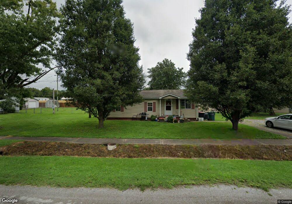
733 2nd St Uniontown, KY 42461
Estimated Value: $92,545 - $106,000
2
Beds
1
Bath
1,014
Sq Ft
$97/Sq Ft
Est. Value
About This Home
This home is located at 733 2nd St, Uniontown, KY 42461 and is currently estimated at $97,886, approximately $96 per square foot. 733 2nd St is a home with nearby schools including Union County High School.
Create a Home Valuation Report for This Property
The Home Valuation Report is an in-depth analysis detailing your home's value as well as a comparison with similar homes in the area
Tax History
| Year | Tax Paid | Tax Assessment Tax Assessment Total Assessment is a certain percentage of the fair market value that is determined by local assessors to be the total taxable value of land and additions on the property. | Land | Improvement |
|---|---|---|---|---|
| 2025 | $669 | $65,060 | $5,000 | $60,060 |
| 2024 | $511 | $49,130 | $3,500 | $45,630 |
| 2023 | $508 | $49,130 | $3,500 | $45,630 |
| 2022 | $520 | $49,130 | $3,500 | $45,630 |
| 2021 | $526 | $49,130 | $3,500 | $45,630 |
| 2020 | $509 | $46,900 | $2,500 | $44,400 |
| 2019 | $519 | $46,900 | $2,500 | $44,400 |
| 2018 | $503 | $46,900 | $2,500 | $44,400 |
| 2017 | $438 | $46,900 | $2,500 | $44,400 |
| 2016 | $438 | $46,900 | $2,500 | $44,400 |
| 2015 | -- | $46,900 | $2,500 | $44,400 |
| 2011 | -- | $46,900 | $46,900 | $0 |
Source: Public Records
Map
Nearby Homes
- 911 4th St
- 620 Main St
- 722 Waller St
- 2287 Hilltop Rd
- 2909 V T Crawley Rd
- 619 Sandy Ln
- 0000 Hastings Ln
- 18 Senate Ave
- 0 W Main St
- 205 N Brady St
- 718 E Lyon St
- 7520 Kentucky 359
- 317 N Padgett St
- 701 Southgate Dr
- 1516 Stanley Ave
- 4530 Slim Bottoms Rd
- 12691 Point Rd
- Ranch Rd Unit LotWP001
- 417&425 E Waverly St
- 6585 Highway 60
Your Personal Tour Guide
Ask me questions while you tour the home.