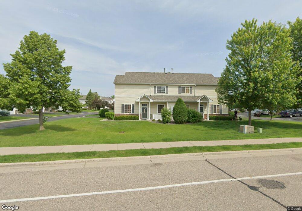
733 733 10th St S Buffalo, MN 55313
Estimated Value: $249,000 - $286,000
2
Beds
2
Baths
1,628
Sq Ft
$166/Sq Ft
Est. Value
About This Home
This home is located at 733 733 10th St S, Buffalo, MN 55313 and is currently estimated at $269,445, approximately $165 per square foot. 733 733 10th St S is a home located in Wright County with nearby schools including Parkside Elementary School, Buffalo Community Middle School, and Buffalo Senior High School.
Ownership History
Date
Name
Owned For
Owner Type
Purchase Details
Closed on
Apr 17, 2017
Sold by
Brings Steven and Brings Dawn M
Bought by
Sdb Investments Llc
Current Estimated Value
Purchase Details
Closed on
Oct 21, 2016
Sold by
Robasse Varner Cynthia and Varner Cynthia R
Bought by
Brings Steven G
Purchase Details
Closed on
Nov 12, 2015
Sold by
Berning Nicole Nicole
Bought by
Varner Cynthia Cynthia
Purchase Details
Closed on
May 26, 2009
Sold by
Lanies Karla T
Bought by
Berning Nicole K
Purchase Details
Closed on
Aug 15, 2005
Sold by
Centex Homes Minnesota Division
Bought by
Lanie Karla T
Create a Home Valuation Report for This Property
The Home Valuation Report is an in-depth analysis detailing your home's value as well as a comparison with similar homes in the area
Home Values in the Area
Average Home Value in this Area
Purchase History
| Date | Buyer | Sale Price | Title Company |
|---|---|---|---|
| Sdb Investments Llc | -- | None Available | |
| Brings Steven G | $147,000 | Central Land Title | |
| Varner Cynthia Cynthia | $145,000 | -- | |
| Berning Nicole K | $92,000 | -- | |
| Lanie Karla T | $182,850 | -- |
Source: Public Records
Tax History Compared to Growth
Tax History
| Year | Tax Paid | Tax Assessment Tax Assessment Total Assessment is a certain percentage of the fair market value that is determined by local assessors to be the total taxable value of land and additions on the property. | Land | Improvement |
|---|---|---|---|---|
| 2025 | $3,052 | $243,900 | $30,000 | $213,900 |
| 2024 | $3,070 | $239,000 | $30,000 | $209,000 |
| 2023 | $3,060 | $253,600 | $35,000 | $218,600 |
| 2022 | $2,752 | $233,700 | $30,000 | $203,700 |
| 2021 | $2,774 | $186,700 | $30,000 | $156,700 |
| 2020 | $2,664 | $184,700 | $30,000 | $154,700 |
| 2019 | $2,408 | $171,300 | $0 | $0 |
| 2018 | $2,142 | $163,900 | $0 | $0 |
| 2017 | $1,620 | $145,600 | $0 | $0 |
| 2016 | $1,498 | $0 | $0 | $0 |
| 2015 | $1,318 | $0 | $0 | $0 |
| 2014 | -- | $0 | $0 | $0 |
Source: Public Records
Map
Nearby Homes
- 615 10th St S
- 823 Erickson Ln
- 815 Erickson Ln
- 825 Erickson Ln
- 829 Erickson Ln
- 818 Erickson Ln
- 912 Harvest Trail
- 914 Harvest Trail
- 822 Erickson Ln
- 905 Harvest Trail
- 911 Harvest Trail
- Biscayne Plan at Settlers Brook
- Courtland II Plan at Settlers Brook
- Walker Plan at Settlers Brook
- Emily Plan at Settlers Brook
- 703 Erickson Ln
- Baxter Plan at Settlers Brook
- Marquette Plan at Settlers Brook
- Berkley Plan at Settlers Brook
- Brighton Plan at Settlers Brook
- 751 10th St S
- 751 10th St S
- 737 10th St S
- 735 10th St S
- 753 10th St S
- 735 735 10th St S
- 739 739 10th St S
- 749 10th St S
- 749 10th St S
- 749 10th St S Unit 404
- 739 10th St S
- 739 10th St S Unit 408
- 733 10th St S
- 711 10th St S
- 711 10th St S Unit 503
- 713 10th St S
- 805 10th St S
- 805 10th St S Unit 307
- 709 10th St S
- 757 10th St S