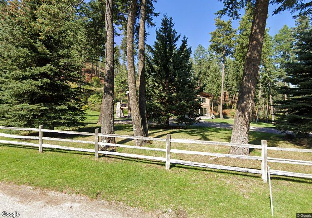
733 Angel Point Rd Lakeside, MT 59922
Estimated Value: $2,569,000 - $3,721,000
2
Beds
2
Baths
1,368
Sq Ft
$2,420/Sq Ft
Est. Value
About This Home
This home is located at 733 Angel Point Rd, Lakeside, MT 59922 and is currently estimated at $3,310,439, approximately $2,419 per square foot. 733 Angel Point Rd is a home located in Flathead County with nearby schools including Lakeside Elementary School, Somers Middle School, and Flathead High School.
Ownership History
Date
Name
Owned For
Owner Type
Purchase Details
Closed on
Jun 23, 2025
Sold by
Timoshchuk Rostis N and Timoshchuk Yuliya N
Bought by
Murray Patrick W and Murray Dava
Current Estimated Value
Purchase Details
Closed on
Dec 7, 2023
Sold by
Eckhardt Ronald John
Bought by
Timoshchuk Rostis N and Timoshchuk Yuliya N
Purchase Details
Closed on
Dec 7, 2006
Sold by
Beasley Robert J
Bought by
Ankeny Michael H
Create a Home Valuation Report for This Property
The Home Valuation Report is an in-depth analysis detailing your home's value as well as a comparison with similar homes in the area
Home Values in the Area
Average Home Value in this Area
Purchase History
| Date | Buyer | Sale Price | Title Company |
|---|---|---|---|
| Murray Patrick W | -- | Fidelity National Title Compan | |
| Murray Patrick W | -- | Fidelity National Title Compan | |
| Timoshchuk Rostis N | -- | Fidelity National Title | |
| Timoshchuk Rostis N | -- | Fidelity National Title | |
| Ankeny Michael H | -- | Alliance Title | |
| Ankeny Michael H | -- | Alliance Title |
Source: Public Records
Tax History Compared to Growth
Tax History
| Year | Tax Paid | Tax Assessment Tax Assessment Total Assessment is a certain percentage of the fair market value that is determined by local assessors to be the total taxable value of land and additions on the property. | Land | Improvement |
|---|---|---|---|---|
| 2025 | $21,814 | $3,277,700 | $0 | $0 |
| 2024 | $15,233 | $2,789,900 | $0 | $0 |
| 2023 | $15,099 | $2,789,900 | $0 | $0 |
| 2022 | $10,938 | $1,507,300 | $0 | $0 |
| 2021 | $11,858 | $1,507,300 | $0 | $0 |
| 2020 | $11,926 | $1,489,900 | $0 | $0 |
| 2019 | $11,475 | $1,489,900 | $0 | $0 |
| 2018 | $12,022 | $1,491,090 | $0 | $0 |
| 2017 | $11,072 | $1,491,090 | $0 | $0 |
| 2016 | $9,847 | $1,439,490 | $0 | $0 |
| 2015 | $10,662 | $1,439,490 | $0 | $0 |
| 2014 | $16,156 | $1,377,927 | $0 | $0 |
Source: Public Records
Map
Nearby Homes
- 207 Angel Point Preserve
- 168 Angel Point Preserve
- 268 Tamarack Terrace Rd
- 272 Tamarack Terrace Rd
- 253 Tamarack Terrace
- 36 Angel Ridge Rd
- 500 Conrad Point Rd
- 100 & 104 Deep Bay Dr
- 458 Political Hill Rd
- 480 Political Hill Rd
- 360 Ridge Line Dr
- 100 Political Hill Rd
- NHN Benchmark Dr
- 103 Tamarack Woods Dr
- 149 Monet Rd
- 207 Stoner Loop Unit A
- 381 Lakeside Blvd
- 212 Bierney Creek Rd
- 124 Woodacres Dr
- 316 Spurwing Loop
- 741 Angel Point Rd
- 675 Angel Point Rd
- 757 Angel Point Rd
- 765 Angel Point Rd
- 705 Angel Point Rd
- 773 Angel Point Rd
- 771 Angel Point Rd
- 822 Angel Point Rd
- 0 Angel Point Rd Unit 11191947
- 0 Angel Point Rd Unit 340989
- 0 Angel Point Rd Unit 205523
- 0 Angel Point Rd Unit 313426
- 0 Angel Point Rd Unit 224147
- 0 Angel Point Rd Unit 205524
- 671 Angel Point Rd
- 781 Angel Point Rd
- 789 Angel Point Rd
- 661 Angel Point Rd
- 661 Angel Point Rd
- 125 Greenwood Hills Ln