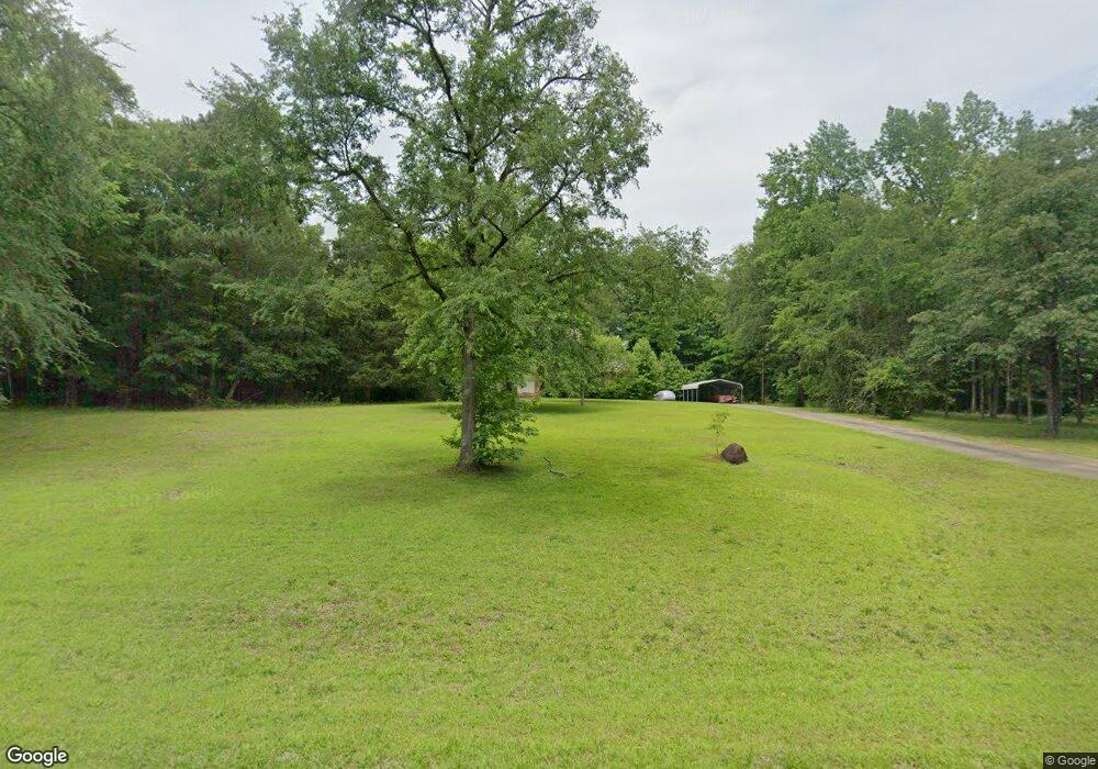
733 Bagley Rd Forsyth, GA 31029
Estimated Value: $174,000 - $727,000
--
Bed
--
Bath
832
Sq Ft
$487/Sq Ft
Est. Value
About This Home
This home is located at 733 Bagley Rd, Forsyth, GA 31029 and is currently estimated at $405,333, approximately $487 per square foot. 733 Bagley Rd is a home located in Monroe County with nearby schools including Samuel E. Hubbard Elementary School and Mary Persons High School.
Ownership History
Date
Name
Owned For
Owner Type
Purchase Details
Closed on
Jun 27, 2024
Sold by
Land Holding Co Llc
Bought by
Carter Cassie Marie and Spires Nicholas Cole
Current Estimated Value
Purchase Details
Closed on
Sep 3, 2014
Sold by
Davis Ann P
Bought by
Laranda Family Properties Lllp
Home Financials for this Owner
Home Financials are based on the most recent Mortgage that was taken out on this home.
Original Mortgage
$160,000
Interest Rate
4.2%
Mortgage Type
New Conventional
Purchase Details
Closed on
Feb 25, 2011
Sold by
Sheppard Land Co
Bought by
Caro Properties Llc
Home Financials for this Owner
Home Financials are based on the most recent Mortgage that was taken out on this home.
Original Mortgage
$226,792
Interest Rate
4.76%
Mortgage Type
New Conventional
Purchase Details
Closed on
Mar 24, 2010
Sold by
Davis Ann P
Bought by
Laranda Family Properties Lllp
Create a Home Valuation Report for This Property
The Home Valuation Report is an in-depth analysis detailing your home's value as well as a comparison with similar homes in the area
Home Values in the Area
Average Home Value in this Area
Purchase History
| Date | Buyer | Sale Price | Title Company |
|---|---|---|---|
| Carter Cassie Marie | $65,000 | -- | |
| Laranda Family Properties Lllp | -- | -- | |
| Caro Properties Llc | $348,910 | -- | |
| Laranda Family Properties Lllp | -- | -- |
Source: Public Records
Mortgage History
| Date | Status | Borrower | Loan Amount |
|---|---|---|---|
| Previous Owner | Laranda Family Properties Lllp | $160,000 | |
| Previous Owner | Laranda Family Properties Lllp | $226,792 |
Source: Public Records
Tax History Compared to Growth
Tax History
| Year | Tax Paid | Tax Assessment Tax Assessment Total Assessment is a certain percentage of the fair market value that is determined by local assessors to be the total taxable value of land and additions on the property. | Land | Improvement |
|---|---|---|---|---|
| 2024 | $3,049 | $108,480 | $107,920 | $560 |
| 2023 | $2,931 | $138,160 | $137,680 | $480 |
| 2022 | $1,606 | $138,160 | $137,680 | $480 |
| 2021 | $1,615 | $138,160 | $137,680 | $480 |
| 2020 | $1,611 | $138,160 | $137,680 | $480 |
| 2019 | $1,579 | $138,160 | $137,680 | $480 |
| 2018 | $1,541 | $138,160 | $137,680 | $480 |
| 2017 | $4,016 | $138,160 | $137,680 | $480 |
| 2016 | $1,386 | $138,160 | $137,680 | $480 |
| 2015 | $1,279 | $138,160 | $0 | $0 |
| 2014 | -- | $138,160 | $0 | $0 |
Source: Public Records
Map
Nearby Homes
- 375 Bagley Rd
- 13 Southern Waters Way
- 300 Slalom Pass
- 361 Allen Rd
- 140 Champions Dr
- 168 Kerr Way
- 137 Shady Dale Dr
- TRACT A Russellville Rd
- TRACT B Russellville Rd
- Highway 42
- 2198 Dennis Rd
- 0 Yellow Creek Rd Unit 24433636
- 0 Yellow Creek Rd Unit 24433638
- 0 Rogers Church Rd Unit 10643854
- 266 Presidents Way
- 4866 Hwy 42 S
- 519 Barbara Ct
- 271 Presidents Way
- 5588 Ga Highway 42 S Unit LOT 3
- 9390 Hopewell Rd
