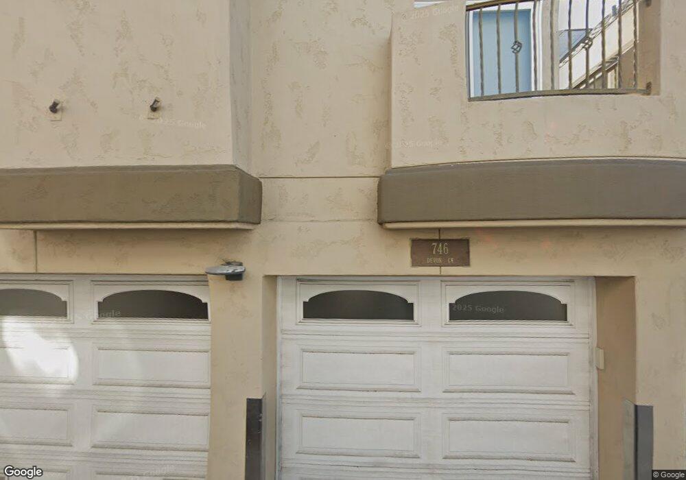
733 Devon Ct Unit 35 San Diego, CA 92109
Mission Beach NeighborhoodEstimated Value: $2,998,540 - $3,487,000
4
Beds
3
Baths
2,595
Sq Ft
$1,238/Sq Ft
Est. Value
About This Home
This home is located at 733 Devon Ct Unit 35, San Diego, CA 92109 and is currently estimated at $3,212,135, approximately $1,237 per square foot. 733 Devon Ct Unit 35 is a home located in San Diego County with nearby schools including Pacific Beach Elementary School, Pacific Beach Middle, and Mission Bay High School.
Ownership History
Date
Name
Owned For
Owner Type
Purchase Details
Closed on
Jan 26, 2015
Sold by
Bowman Debra Lynne
Bought by
The Benham Family 2000 Trust
Current Estimated Value
Home Financials for this Owner
Home Financials are based on the most recent Mortgage that was taken out on this home.
Original Mortgage
$875,000
Outstanding Balance
$666,204
Interest Rate
3.6%
Mortgage Type
New Conventional
Estimated Equity
$2,545,931
Purchase Details
Closed on
Jul 14, 2009
Sold by
Bowman Debra L
Bought by
Bowman Debra Lynne
Purchase Details
Closed on
Nov 24, 2008
Sold by
Bowman Frank and Bowman Debra
Bought by
Bowman Debra L
Purchase Details
Closed on
Aug 29, 2003
Sold by
Spore W W and Spore Grace L
Bought by
Bowman Frank L and Bowman Debra L
Create a Home Valuation Report for This Property
The Home Valuation Report is an in-depth analysis detailing your home's value as well as a comparison with similar homes in the area
Home Values in the Area
Average Home Value in this Area
Purchase History
| Date | Buyer | Sale Price | Title Company |
|---|---|---|---|
| The Benham Family 2000 Trust | $1,675,000 | Ticor Title | |
| Bowman Debra Lynne | -- | None Available | |
| Bowman Debra L | -- | None Available | |
| Bowman Frank L | $1,312,500 | Chicago Title Co |
Source: Public Records
Mortgage History
| Date | Status | Borrower | Loan Amount |
|---|---|---|---|
| Open | The Benham Family 2000 Trust | $875,000 |
Source: Public Records
Tax History
| Year | Tax Paid | Tax Assessment Tax Assessment Total Assessment is a certain percentage of the fair market value that is determined by local assessors to be the total taxable value of land and additions on the property. | Land | Improvement |
|---|---|---|---|---|
| 2025 | $24,251 | $2,016,436 | $1,562,401 | $454,035 |
| 2024 | $24,251 | $1,976,899 | $1,531,766 | $445,133 |
| 2023 | $23,714 | $1,938,137 | $1,501,732 | $436,405 |
| 2022 | $23,080 | $1,900,136 | $1,472,287 | $427,849 |
| 2021 | $22,919 | $1,862,879 | $1,443,419 | $419,460 |
| 2020 | $22,639 | $1,843,778 | $1,428,619 | $415,159 |
| 2019 | $22,233 | $1,807,626 | $1,400,607 | $407,019 |
| 2018 | $20,748 | $1,769,243 | $1,373,145 | $396,098 |
| 2017 | $20,266 | $1,734,553 | $1,346,221 | $388,332 |
| 2016 | $19,945 | $1,700,543 | $1,319,825 | $380,718 |
| 2015 | $18,295 | $1,552,688 | $828,101 | $724,587 |
| 2014 | $17,999 | $1,522,274 | $811,880 | $710,394 |
Source: Public Records
Map
Nearby Homes
- 720 Devon Ct
- 2949 Ocean Front Walk
- 2999 Ocean Front Walk Unit 1
- 2999 Ocean Front Walk Unit 2
- 2812 Bayside Walk
- 729 Capistrano Place Unit L1
- 2740 Ocean Front Walk
- 2741 Bayside Walk
- 829-31 Avalon Ct
- 818 San Luis Rey Place Unit 20
- 814 San Luis Rey Place Unit 16
- 2623 Ocean Front Walk
- 2617 Ocean Front Walk
- 2632 Bayside Walk
- 750 Island Ct
- 807 Santa Barbara Place
- 3286-88 Bayside Walk
- 3291 Bayside Walk
- 719 Jersey Ct
- 807 Jersey Ct
- 729 Devon Ct
- 737 Devon Ct
- 2916 Mission Blvd Unit 22
- 725 Devon Ct Unit 27
- 2912 Mission Blvd
- 721 Devon Ct
- 750 San Gabriel Place
- 748 Devon Ct
- 746 Devon Ct
- 752 Devon Ct
- 732 Devon Ct
- 730 Devon Ct Unit 1
- 728 San Gabriel Place
- 750 Devon Ct
- 717 Devon Ct Unit 19
- 2924 Mission Blvd
- 717/719 Devon Ct
- 717/719 Devon Ct
- 726 Devon Ct Unit 28
- 722 Devon Ct Unit 24
Your Personal Tour Guide
Ask me questions while you tour the home.
