733 Sharps Lot Rd Swansea, MA 02777
Northeast Swansea NeighborhoodEstimated Value: $774,014 - $915,000
4
Beds
3
Baths
2,796
Sq Ft
$305/Sq Ft
Est. Value
About This Home
This home is located at 733 Sharps Lot Rd, Swansea, MA 02777 and is currently estimated at $853,754, approximately $305 per square foot. 733 Sharps Lot Rd is a home located in Bristol County with nearby schools including Joseph Case High School, SCEC Life Academy, and Swansea Wood School.
Ownership History
Date
Name
Owned For
Owner Type
Purchase Details
Closed on
Dec 5, 2008
Sold by
Rebello Louis M
Bought by
733 Sharps Lot Road Rt and Rebello Louis M
Current Estimated Value
Purchase Details
Closed on
Mar 15, 2007
Sold by
Lavoie Priscilla
Bought by
Donlan Paul J
Home Financials for this Owner
Home Financials are based on the most recent Mortgage that was taken out on this home.
Original Mortgage
$492,000
Interest Rate
6.4%
Mortgage Type
Purchase Money Mortgage
Create a Home Valuation Report for This Property
The Home Valuation Report is an in-depth analysis detailing your home's value as well as a comparison with similar homes in the area
Home Values in the Area
Average Home Value in this Area
Purchase History
| Date | Buyer | Sale Price | Title Company |
|---|---|---|---|
| 733 Sharps Lot Road Rt | -- | -- | |
| Rebello Louis M | $360,000 | -- | |
| Donlan Paul J | $615,000 | -- |
Source: Public Records
Mortgage History
| Date | Status | Borrower | Loan Amount |
|---|---|---|---|
| Previous Owner | Donlan Paul J | $492,000 |
Source: Public Records
Tax History Compared to Growth
Tax History
| Year | Tax Paid | Tax Assessment Tax Assessment Total Assessment is a certain percentage of the fair market value that is determined by local assessors to be the total taxable value of land and additions on the property. | Land | Improvement |
|---|---|---|---|---|
| 2025 | $7,665 | $643,000 | $196,000 | $447,000 |
| 2024 | $7,674 | $640,000 | $196,000 | $444,000 |
| 2023 | $6,891 | $524,800 | $149,200 | $375,600 |
| 2022 | $6,452 | $448,400 | $137,500 | $310,900 |
| 2021 | $6,402 | $409,600 | $137,500 | $272,100 |
| 2020 | $6,475 | $415,600 | $137,500 | $278,100 |
| 2019 | $6,506 | $419,500 | $124,900 | $294,600 |
| 2018 | $6,334 | $414,500 | $123,200 | $291,300 |
| 2017 | $5,461 | $411,200 | $123,200 | $288,000 |
| 2016 | $5,301 | $392,100 | $108,900 | $283,200 |
| 2015 | $5,140 | $391,500 | $108,900 | $282,600 |
| 2014 | $4,748 | $369,800 | $108,900 | $260,900 |
Source: Public Records
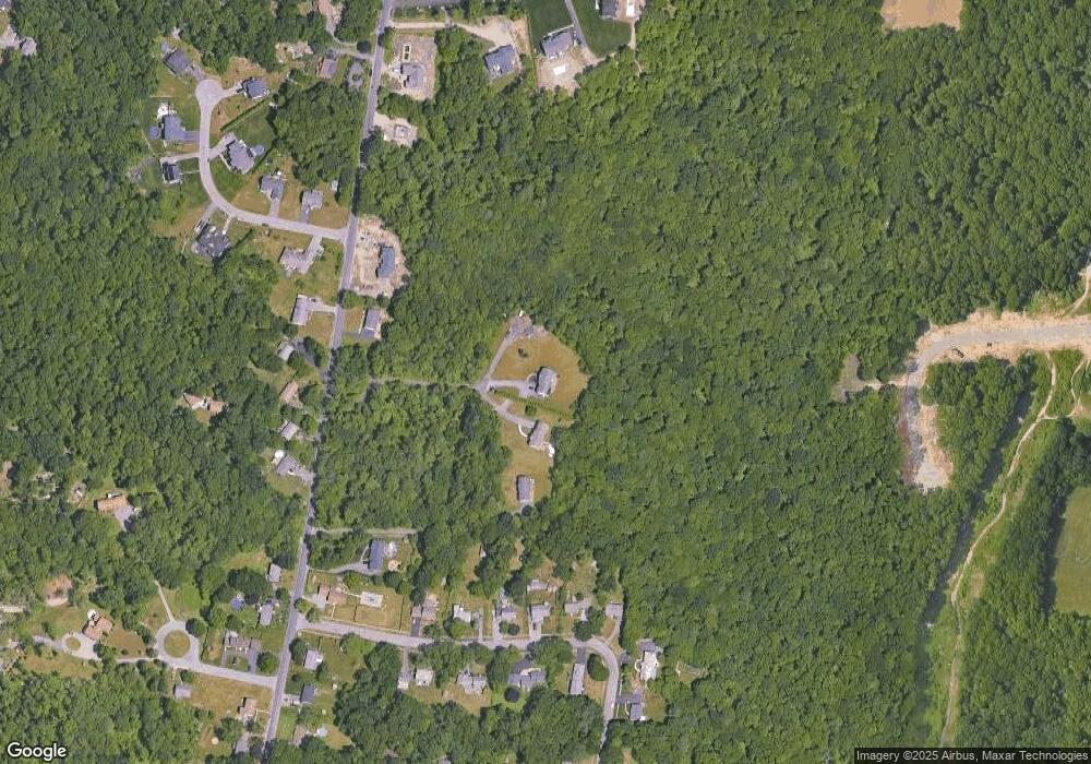
Map
Nearby Homes
- 729 Sharps Lot Rd
- 705 Sharps Lot Rd
- 741 Sharps Lot Rd
- 825 Sharps Lot Rd
- 44 Tess Abigail Ln
- 70 Caribou Ln
- 58 Caribou Ln
- 48 Caribou Ln
- 0 Sailmaker Ct
- 72 Caribou Ln
- 38 Caribou Ln
- 701 Sharps Lot Rd
- 30 Caribou Ln
- 6 Sailmaker Ct
- 738 Sharps Lot Rd
- 720 Sharps Lot Rd
- 730 Sharps Lot Rd
- 821 Sharps Lot Rd
- 6 Sailmaker Ct
- 742 Sharps Lot Rd