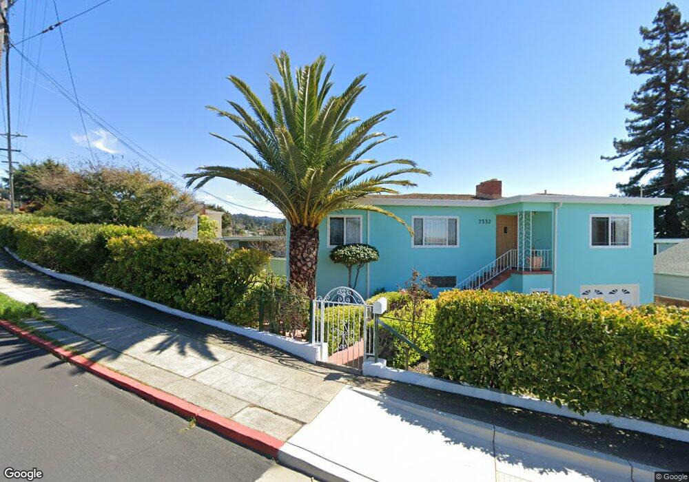
7332 Stockton Ave Unit 2 El Cerrito, CA 94530
Estimated Value: $1,193,940 - $1,460,000
2
Beds
2
Baths
1,848
Sq Ft
$690/Sq Ft
Est. Value
About This Home
This home is located at 7332 Stockton Ave Unit 2, El Cerrito, CA 94530 and is currently estimated at $1,274,485, approximately $689 per square foot. 7332 Stockton Ave Unit 2 is a home located in Contra Costa County with nearby schools including Harding Elementary School, Fred T. Korematsu Middle School, and El Cerrito Senior High School.
Ownership History
Date
Name
Owned For
Owner Type
Purchase Details
Closed on
Dec 10, 1998
Sold by
Wu Kuo L and Ting Pa K
Bought by
Ayala Carlos D and Quintanilla Ondina A
Current Estimated Value
Home Financials for this Owner
Home Financials are based on the most recent Mortgage that was taken out on this home.
Original Mortgage
$201,600
Outstanding Balance
$46,308
Interest Rate
6.91%
Mortgage Type
Purchase Money Mortgage
Estimated Equity
$1,228,177
Create a Home Valuation Report for This Property
The Home Valuation Report is an in-depth analysis detailing your home's value as well as a comparison with similar homes in the area
Home Values in the Area
Average Home Value in this Area
Purchase History
| Date | Buyer | Sale Price | Title Company |
|---|---|---|---|
| Ayala Carlos D | $252,000 | Old Republic Title Company |
Source: Public Records
Mortgage History
| Date | Status | Borrower | Loan Amount |
|---|---|---|---|
| Open | Ayala Carlos D | $201,600 |
Source: Public Records
Tax History Compared to Growth
Tax History
| Year | Tax Paid | Tax Assessment Tax Assessment Total Assessment is a certain percentage of the fair market value that is determined by local assessors to be the total taxable value of land and additions on the property. | Land | Improvement |
|---|---|---|---|---|
| 2025 | $6,063 | $395,034 | $268,380 | $126,654 |
| 2024 | $5,958 | $387,289 | $263,118 | $124,171 |
| 2023 | $5,958 | $379,696 | $257,959 | $121,737 |
| 2022 | $5,851 | $372,251 | $252,901 | $119,350 |
| 2021 | $5,807 | $364,953 | $247,943 | $117,010 |
| 2019 | $5,441 | $354,131 | $240,590 | $113,541 |
| 2018 | $5,251 | $347,188 | $235,873 | $111,315 |
| 2017 | $5,172 | $340,382 | $231,249 | $109,133 |
| 2016 | $5,149 | $333,709 | $226,715 | $106,994 |
| 2015 | $5,165 | $328,697 | $223,310 | $105,387 |
| 2014 | $5,118 | $322,259 | $218,936 | $103,323 |
Source: Public Records
Map
Nearby Homes
- 7347 Terrace Dr
- 876 Balra Dr
- 7553 Stockton Ave
- 6727 Waldo Ave
- 7788 Moeser Ln
- 857 Sea View Dr
- 1034 Navellier St
- 556 Norvell St
- 545 Everett St
- 618 Liberty St
- 506 Clayton Ave
- 849 Kearney St
- 951 Lexington Ave
- 1029 Ranchito Ct
- 10300 San Pablo Ave Unit 303
- 10300 San Pablo Ave Unit 108
- 1130 Richmond St
- 444 Richmond St
- 39 Anson Way
- 6124 Santa Cruz Ave
- 7334 Terrace Dr
- 7330 Stockton Ave
- 7318 Stockton Ave
- 7356 Terrace Dr
- 786 Pomona Ave
- 7347 Stockton Ave
- 7310 Stockton Ave
- 7341 Terrace Dr
- 7364 Terrace Dr
- 782 Pomona Ave
- 7327 Stockton Ave Unit 2
- 7355 Terrace Dr
- 7319 Stockton Ave
- 7352 Stockton Ave
- 796 Pomona Ave
- 776 Pomona Ave Unit 2
- 7386 Terrace Dr
- 7355 Stockton Ave
- 772 Pomona Ave
- 7392 Terrace Dr