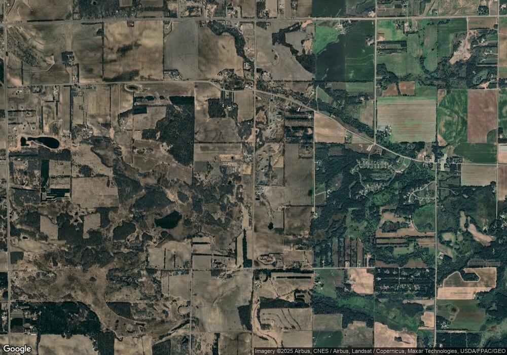
7334 Highway 95 NE Sauk Rapids, MN 56379
Estimated Value: $448,000 - $625,498
3
Beds
3
Baths
2,131
Sq Ft
$244/Sq Ft
Est. Value
About This Home
This home is located at 7334 Highway 95 NE, Sauk Rapids, MN 56379 and is currently estimated at $520,499, approximately $244 per square foot. 7334 Highway 95 NE is a home located in Benton County with nearby schools including Mississippi Heights Elementary School, Sauk Rapids-Rice Middle School, and Sauk Rapids-Rice Senior High School.
Ownership History
Date
Name
Owned For
Owner Type
Purchase Details
Closed on
Oct 31, 2017
Sold by
Stockoski John M and Peterson Lorraine H
Bought by
Andrea Larisa Nicole and Andrea Tom Daniel
Current Estimated Value
Purchase Details
Closed on
Aug 21, 2006
Sold by
Gruber Richard M and Gruber Karen L
Bought by
Stockoski John
Purchase Details
Closed on
Aug 17, 2006
Sold by
Steininger Randy S and Steininger Pamela M
Bought by
Stockoski John
Create a Home Valuation Report for This Property
The Home Valuation Report is an in-depth analysis detailing your home's value as well as a comparison with similar homes in the area
Home Values in the Area
Average Home Value in this Area
Purchase History
| Date | Buyer | Sale Price | Title Company |
|---|---|---|---|
| Andrea Larisa Nicole | -- | None Available | |
| Stockoski John | -- | -- | |
| Stockoski John | -- | -- |
Source: Public Records
Tax History Compared to Growth
Tax History
| Year | Tax Paid | Tax Assessment Tax Assessment Total Assessment is a certain percentage of the fair market value that is determined by local assessors to be the total taxable value of land and additions on the property. | Land | Improvement |
|---|---|---|---|---|
| 2025 | $5,414 | $595,300 | $74,900 | $520,400 |
| 2024 | $5,048 | $572,700 | $79,200 | $493,500 |
| 2023 | $4,594 | $556,300 | $79,200 | $477,100 |
| 2022 | $4,558 | $461,200 | $72,300 | $388,900 |
| 2021 | $4,142 | $415,300 | $69,800 | $345,500 |
| 2018 | $3,436 | $300,700 | $66,736 | $233,964 |
| 2017 | $3,436 | $278,900 | $66,167 | $212,733 |
| 2016 | $3,340 | $283,300 | $68,800 | $214,500 |
| 2015 | $3,502 | $260,700 | $61,145 | $199,555 |
| 2014 | -- | $238,100 | $60,420 | $177,680 |
| 2013 | -- | $240,400 | $60,501 | $179,899 |
Source: Public Records
Map
Nearby Homes
- Lot B 75th Ave NE
- 5901 Rub-Of-the-green St
- 5916 Stadium St
- 5345 Sand Bunker St
- 4860 15th St NE
- 4820 15th St NE
- 5376 Tee-To-green St
- 1226 45th Ave NE
- 1108 45th Ave NE
- 1106 45th Ave NE
- 1104 45th Ave NE
- 1102 45th Ave NE
- 4771 8th Street Loop NE
- 8155 17th St SE
- 4745 8th Street Loop NE
- The Ashton Plan at Waters Edge
- The Mulberry Plan at Waters Edge - Liberty
- The Newport Plan at Waters Edge
- The Cheyenne Plan at Waters Edge
- The Newport Plan at Waters Edge - Liberty
- 7259 Duelm Rd NE
- 7257 Duelm Rd NE
- 1303 75th Ave NE
- 1303 1303 75th-Avenue-ne
- 7225 Duelm Rd NE
- 7201 Duelm Rd NE
- 1321 75th Ave NE
- 7332 Highway 95 NE
- 7187 Duelm Rd NE
- 7392 Highway 95 NE
- 7284 Highway 95 NE
- 7165 Duelm Rd NE
- 7330 Highway 95 NE
- 7336 Highway 95 NE
- 1399 75th Ave NE
- 7135 Duelm Rd NE
- 7135 Duelm Rd NE
- 7338 Highway 95 NE
- 7134 Duelm Rd NE
- 1340 Duelm Rd NE
