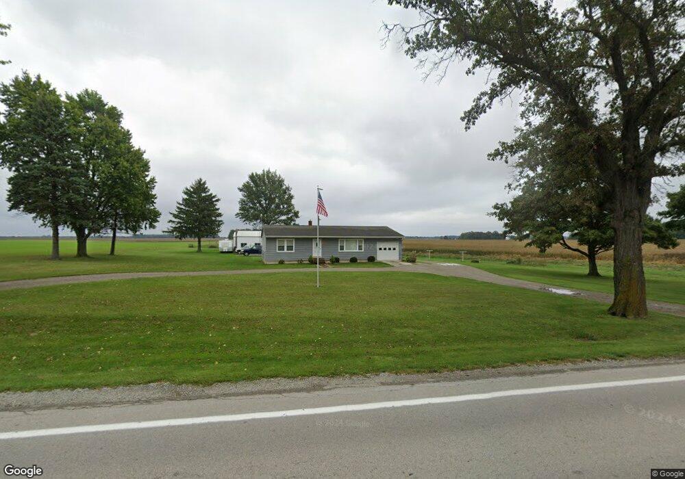
7335 State Highway 53 N Upper Sandusky, OH 43351
Estimated Value: $157,000 - $229,000
3
Beds
1
Bath
1,488
Sq Ft
$127/Sq Ft
Est. Value
About This Home
This home is located at 7335 State Highway 53 N, Upper Sandusky, OH 43351 and is currently estimated at $188,580, approximately $126 per square foot. 7335 State Highway 53 N is a home with nearby schools including Upper Sandusky High School and St. Peter Elementary School.
Ownership History
Date
Name
Owned For
Owner Type
Purchase Details
Closed on
Sep 30, 2014
Sold by
Weyand Rose Mary
Bought by
Weyand Sarah K and Weyand Kevin R
Current Estimated Value
Home Financials for this Owner
Home Financials are based on the most recent Mortgage that was taken out on this home.
Original Mortgage
$64,000
Outstanding Balance
$48,602
Interest Rate
4.08%
Mortgage Type
New Conventional
Estimated Equity
$139,978
Create a Home Valuation Report for This Property
The Home Valuation Report is an in-depth analysis detailing your home's value as well as a comparison with similar homes in the area
Purchase History
| Date | Buyer | Sale Price | Title Company |
|---|---|---|---|
| Weyand Sarah K | $80,000 | None Available |
Source: Public Records
Mortgage History
| Date | Status | Borrower | Loan Amount |
|---|---|---|---|
| Open | Weyand Sarah K | $64,000 |
Source: Public Records
Tax History
| Year | Tax Paid | Tax Assessment Tax Assessment Total Assessment is a certain percentage of the fair market value that is determined by local assessors to be the total taxable value of land and additions on the property. | Land | Improvement |
|---|---|---|---|---|
| 2025 | $1,486 | $50,560 | $7,450 | $43,110 |
| 2024 | $1,258 | $40,680 | $5,890 | $34,790 |
| 2023 | $1,258 | $40,680 | $5,890 | $34,790 |
| 2022 | $1,276 | $33,150 | $4,780 | $28,370 |
| 2021 | $1,077 | $33,150 | $4,780 | $28,370 |
| 2020 | $1,086 | $33,150 | $4,780 | $28,370 |
| 2019 | $1,084 | $33,150 | $4,780 | $28,370 |
| 2018 | $930 | $28,950 | $4,190 | $24,760 |
| 2017 | $939 | $28,950 | $4,190 | $24,760 |
| 2016 | -- | $28,950 | $4,190 | $24,760 |
| 2015 | -- | $28,030 | $4,190 | $23,840 |
| 2014 | -- | $28,030 | $4,190 | $23,840 |
| 2013 | -- | $28,030 | $4,190 | $23,840 |
Source: Public Records
Map
Nearby Homes
- 7160 County Highway 47
- 6166 County Highway 107
- 0 Highway 30
- 987 Greenbrier Rd
- 0 State Route 53 & 67 Unit 11165687
- 1030 Halbedel St
- 955 Greenbrier Rd
- 479 N 5th St
- 479 Front St
- 0 County Highway 121
- 445 N Sandusky Ave
- 212 Duck Pond Rd
- 109 Rivers Edge Ln
- 432 E Bigelow St
- 101 Rivers Edge Ln
- 334 N 4th St
- 314 N 4th St
- 386 W Finley St
- 116 E Walker St
- 137 N 8th St
- 7247 Ohio 53
- 7247 State Highway 53 N
- 7492 Ohio 53
- 7619 Ohio 53
- 7685 State Highway 53 N
- 6995 State Highway 53 N
- 7914 County Highway 44
- 8836 County Highway 44
- 7437 County Highway 112
- 8315 County Highway 44
- 8283 County Highway 44
- 8956 County Highway 44
- 7739 County Highway 112
- 6572 State Highway 53 N
- 8895 County Highway 44
- 8210 State Highway 53 N
- 8240 State Highway 53 N
- 9157 County Highway 44
- 7848 County Highway 112
Your Personal Tour Guide
Ask me questions while you tour the home.