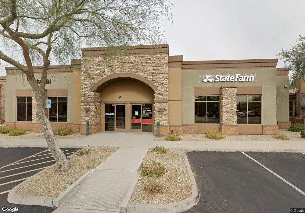
7336 E Deer Valley Rd Unit 100 Scottsdale, AZ 85255
Grayhawk Neighborhood
--
Bed
--
Bath
1,674
Sq Ft
1,612
Sq Ft Lot
About This Home
This home is located at 7336 E Deer Valley Rd Unit 100, Scottsdale, AZ 85255. 7336 E Deer Valley Rd Unit 100 is a home located in Maricopa County with nearby schools including Pinnacle Peak Elementary School, Explorer Middle School, and Pinnacle High School.
Ownership History
Date
Name
Owned For
Owner Type
Purchase Details
Closed on
May 19, 2021
Sold by
M3bi Llc
Bought by
Spak Llc
Purchase Details
Closed on
Aug 12, 2015
Sold by
Medical Monitoring Services Inc
Bought by
M3bi Llc
Home Financials for this Owner
Home Financials are based on the most recent Mortgage that was taken out on this home.
Original Mortgage
$246,500
Interest Rate
3.85%
Mortgage Type
Commercial
Purchase Details
Closed on
Feb 15, 2011
Sold by
Wesley Development Company Llc
Bought by
Medical Monitoring Services Inc
Purchase Details
Closed on
Mar 3, 2006
Sold by
Scottsdale Ridge Office Investors Llc
Bought by
Wesley Development Co Llc
Home Financials for this Owner
Home Financials are based on the most recent Mortgage that was taken out on this home.
Original Mortgage
$322,465
Interest Rate
6.04%
Mortgage Type
Commercial
Create a Home Valuation Report for This Property
The Home Valuation Report is an in-depth analysis detailing your home's value as well as a comparison with similar homes in the area
Home Values in the Area
Average Home Value in this Area
Purchase History
| Date | Buyer | Sale Price | Title Company |
|---|---|---|---|
| Spak Llc | $270,636 | None Available | |
| M3bi Llc | $240,000 | Great Amer Title Agency Inc | |
| Medical Monitoring Services Inc | $285,000 | Thomas Title & Escrow | |
| Wesley Development Co Llc | $343,350 | Chicago Title Insurance Co |
Source: Public Records
Mortgage History
| Date | Status | Borrower | Loan Amount |
|---|---|---|---|
| Previous Owner | M3bi Llc | $246,500 | |
| Previous Owner | Wesley Development Co Llc | $322,465 |
Source: Public Records
Tax History Compared to Growth
Tax History
| Year | Tax Paid | Tax Assessment Tax Assessment Total Assessment is a certain percentage of the fair market value that is determined by local assessors to be the total taxable value of land and additions on the property. | Land | Improvement |
|---|---|---|---|---|
| 2025 | $4,478 | $49,012 | -- | -- |
| 2024 | $4,547 | $48,137 | -- | -- |
| 2023 | $4,547 | $62,764 | $12,546 | $50,218 |
| 2022 | $4,613 | $67,306 | $13,458 | $53,848 |
| 2021 | $4,831 | $61,830 | $12,366 | $49,464 |
| 2020 | $4,696 | $63,720 | $12,744 | $50,976 |
| 2019 | $4,729 | $61,740 | $12,348 | $49,392 |
| 2018 | $4,600 | $48,888 | $9,774 | $39,114 |
| 2017 | $4,398 | $53,046 | $10,602 | $42,444 |
| 2016 | $4,350 | $45,180 | $9,036 | $36,144 |
| 2015 | $4,260 | $40,627 | $8,122 | $32,505 |
Source: Public Records
Map
Nearby Homes
- 21554 N 72nd Way
- 7336 E Rustling Pass
- 7500 E Deer Valley Rd Unit 162
- 7500 E Deer Valley Rd Unit 19
- 7500 E Deer Valley Rd Unit 99
- 7632 E Overlook Dr
- 7370 E Wingspan Way
- 7694 E Via Del Sol Dr
- 7703 E Overlook Dr
- 21157 N 74th Place
- 22063 N 77th St
- 22322 N 77th St
- 21064 N 72nd Place
- 22339 N 77th St
- 7736 E Via Del Sol Dr
- 22303 N 77th Place
- 7774 E San Fernando Dr
- 7779 E Adobe Dr
- 7775 E Fledgling Dr
- 7650 E Williams Dr Unit 1064
- 7344 E Deer Valley Rd Unit 110
- 7344 E Deer Valley Rd Unit 105
- 7328 E Deer Valley Rd
- 7308 E Deer Valley Rd Unit 100
- 21807 N Scottsdale Rd
- 7279 E Adobe Dr Unit 110
- 7279 E Adobe Dr Unit 115
- 7279 E Adobe Dr Unit 105
- 7343 E Adobe Dr Unit 101
- 7328 E Overlook Dr
- 7320 E Overlook Dr
- 7312 E Overlook Dr
- 7344 E Overlook Dr
- 7256 E Overlook Dr
- 7352 E Overlook Dr
- 7248 E Overlook Dr
- 7360 E Overlook Dr
- 7240 E Overlook<under Contract> Dr
- 7240 E Overlook Dr
- 7368 E Overlook Dr