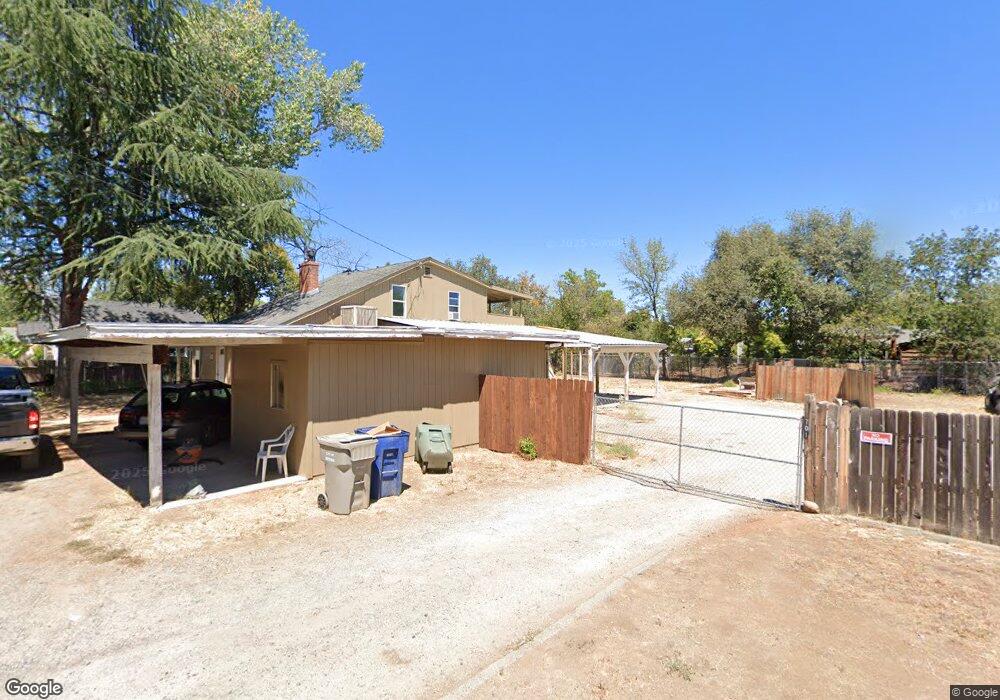
734 Leland Ct Redding, CA 96001
Parkview NeighborhoodEstimated Value: $174,000 - $335,000
4
Beds
2
Baths
1,440
Sq Ft
$200/Sq Ft
Est. Value
About This Home
This home is located at 734 Leland Ct, Redding, CA 96001 and is currently estimated at $288,048, approximately $200 per square foot. 734 Leland Ct is a home located in Shasta County with nearby schools including Juniper, Sequoia Middle School, and Shasta High School.
Ownership History
Date
Name
Owned For
Owner Type
Purchase Details
Closed on
Aug 4, 2020
Sold by
Mccoy David D and David D Mccoy 2015 Trust
Bought by
Matthews Katherine
Current Estimated Value
Purchase Details
Closed on
Nov 23, 2015
Sold by
Mccoy David D
Bought by
Mccoy David D
Purchase Details
Closed on
Mar 23, 2011
Sold by
Mccoy Irene N
Bought by
Mccoy David D and Mccoy Irene
Purchase Details
Closed on
Aug 12, 2004
Sold by
Mccoy David D
Bought by
Mccoy Irene N
Purchase Details
Closed on
Jul 26, 2004
Sold by
Va
Bought by
Mccoy David D
Create a Home Valuation Report for This Property
The Home Valuation Report is an in-depth analysis detailing your home's value as well as a comparison with similar homes in the area
Home Values in the Area
Average Home Value in this Area
Purchase History
| Date | Buyer | Sale Price | Title Company |
|---|---|---|---|
| Matthews Katherine | $88,000 | Fidelity Natl Ttl Co Of Ca | |
| Mccoy David D | -- | None Available | |
| Mccoy David D | -- | None Available | |
| Mccoy David D | -- | None Available | |
| Mccoy Irene N | -- | Chicago Title Co | |
| Mccoy David D | -- | -- |
Source: Public Records
Tax History Compared to Growth
Tax History
| Year | Tax Paid | Tax Assessment Tax Assessment Total Assessment is a certain percentage of the fair market value that is determined by local assessors to be the total taxable value of land and additions on the property. | Land | Improvement |
|---|---|---|---|---|
| 2025 | $1,369 | $129,889 | $43,296 | $86,593 |
| 2024 | $1,348 | $127,344 | $42,448 | $84,896 |
| 2023 | $1,348 | $124,848 | $41,616 | $83,232 |
| 2022 | $1,325 | $122,400 | $40,800 | $81,600 |
| 2021 | $1,101 | $99,711 | $28,840 | $70,871 |
| 2020 | $1,115 | $98,690 | $28,545 | $70,145 |
| 2019 | $1,059 | $96,756 | $27,986 | $68,770 |
| 2018 | $1,068 | $94,860 | $27,438 | $67,422 |
| 2017 | $1,062 | $93,000 | $26,900 | $66,100 |
| 2016 | $1,029 | $91,177 | $26,373 | $64,804 |
| 2015 | $939 | $89,808 | $25,977 | $63,831 |
| 2014 | $931 | $88,050 | $25,469 | $62,581 |
Source: Public Records
Map
Nearby Homes
- 751 Leland Ct
- 745 Parkview Ave
- 804 Kite Ln
- 1025 Parkview Ave
- 362 Revilo Dr
- 351 Weldon St
- 2940 Anita St
- 2514 California St
- 2349 California St
- 3244 Veda St
- 760 Locust St
- 3035 West St
- 2590 Henderson Rd
- 2429 Court St
- 780 Lincoln St
- 3443 West St
- 2415 West St
- 2123 Waldon St
- 1005 Gold St
- 350 Park Marina Cir