734 Morris Rd Hockessin, DE 19707
Estimated Value: $650,000 - $736,000
3
Beds
3
Baths
2,391
Sq Ft
$290/Sq Ft
Est. Value
About This Home
This home is located at 734 Morris Rd, Hockessin, DE 19707 and is currently estimated at $692,315, approximately $289 per square foot. 734 Morris Rd is a home located in New Castle County with nearby schools including Dupont (H.B.) Middle School, Alexis I. du Pont High School, and Sanford School.
Ownership History
Date
Name
Owned For
Owner Type
Purchase Details
Closed on
Sep 21, 2007
Sold by
Donahue John and Donahue Mary E
Bought by
Jordan James E and Jordan Kristin K
Current Estimated Value
Home Financials for this Owner
Home Financials are based on the most recent Mortgage that was taken out on this home.
Original Mortgage
$416,000
Outstanding Balance
$264,192
Interest Rate
6.63%
Mortgage Type
Purchase Money Mortgage
Estimated Equity
$428,123
Create a Home Valuation Report for This Property
The Home Valuation Report is an in-depth analysis detailing your home's value as well as a comparison with similar homes in the area
Home Values in the Area
Average Home Value in this Area
Purchase History
| Date | Buyer | Sale Price | Title Company |
|---|---|---|---|
| Jordan James E | $520,000 | Transnation Title Ins Co |
Source: Public Records
Mortgage History
| Date | Status | Borrower | Loan Amount |
|---|---|---|---|
| Open | Jordan James E | $416,000 |
Source: Public Records
Tax History Compared to Growth
Tax History
| Year | Tax Paid | Tax Assessment Tax Assessment Total Assessment is a certain percentage of the fair market value that is determined by local assessors to be the total taxable value of land and additions on the property. | Land | Improvement |
|---|---|---|---|---|
| 2024 | $6,459 | $174,800 | $40,100 | $134,700 |
| 2023 | $5,698 | $174,800 | $40,100 | $134,700 |
| 2022 | $5,765 | $174,800 | $40,100 | $134,700 |
| 2021 | $5,765 | $174,800 | $40,100 | $134,700 |
| 2020 | $5,784 | $174,800 | $40,100 | $134,700 |
| 2019 | $5,775 | $174,800 | $40,100 | $134,700 |
| 2018 | $5,660 | $174,800 | $40,100 | $134,700 |
| 2017 | $5,591 | $174,800 | $40,100 | $134,700 |
| 2016 | $5,339 | $174,800 | $40,100 | $134,700 |
| 2015 | $5,003 | $174,800 | $40,100 | $134,700 |
| 2014 | $4,630 | $174,800 | $40,100 | $134,700 |
Source: Public Records
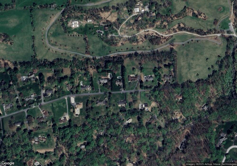
Map
Nearby Homes
- 747 Morris Rd
- 757 Auburn Mill Rd
- 2913 Creek Rd
- 1075 Yorklyn Rd
- 606 Parkridge Dr
- 646 Woodview Dr
- 25 Southridge Dr
- 526 Dawson Track
- 823 Creek Rd
- 408 Willowbend Ct
- 683 Mc Govern Rd
- 102 Knoxlyn Farm Dr
- 3 Scarlett Ct
- 535 Chandler Mill Rd
- 6 Kings Grant Rd
- 404 Kimberley Rd
- 118 Pleasant Bank Ln
- 551 Southwood Rd
- 2160 Brackenville Rd
- 513 Pershing Rd
- 726 Morris Rd
- 742 Morris Rd
- 735 Morris Rd
- 714 Morris Rd
- 754 Morris Rd
- 721 Morris Rd
- 780 Auburn Mill Rd
- 759 Morris Rd
- 762 Morris Rd
- 706 Morris Rd
- 788 Auburn Mill Rd
- 756 Auburn Mill Rd
- 660 Benge Rd
- 701 Morris Rd
- 771 Morris Rd
- 668 Benge Rd
- 774 Morris Rd
- 804 Auburn Mill Rd
- 744 Auburn Mill Rd
- 670 Benge Rd