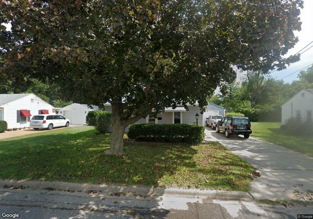
734 Pocahontas Ln Ottumwa, IA 52501
Estimated Value: $69,000 - $82,050
2
Beds
1
Bath
640
Sq Ft
$116/Sq Ft
Est. Value
About This Home
This home is located at 734 Pocahontas Ln, Ottumwa, IA 52501 and is currently estimated at $74,513, approximately $116 per square foot. 734 Pocahontas Ln is a home located in Wapello County with nearby schools including Liberty Elementary School, Douma Elementary School, and Evans Middle School.
Ownership History
Date
Name
Owned For
Owner Type
Purchase Details
Closed on
Jan 18, 2006
Sold by
Skinner Stanley and Skinner Kathy J
Bought by
Speer Edrick L
Current Estimated Value
Home Financials for this Owner
Home Financials are based on the most recent Mortgage that was taken out on this home.
Original Mortgage
$40,000
Outstanding Balance
$22,682
Interest Rate
6.42%
Mortgage Type
New Conventional
Estimated Equity
$51,831
Create a Home Valuation Report for This Property
The Home Valuation Report is an in-depth analysis detailing your home's value as well as a comparison with similar homes in the area
Home Values in the Area
Average Home Value in this Area
Purchase History
| Date | Buyer | Sale Price | Title Company |
|---|---|---|---|
| Speer Edrick L | $40,000 | None Available |
Source: Public Records
Mortgage History
| Date | Status | Borrower | Loan Amount |
|---|---|---|---|
| Open | Speer Edrick L | $40,000 |
Source: Public Records
Tax History Compared to Growth
Tax History
| Year | Tax Paid | Tax Assessment Tax Assessment Total Assessment is a certain percentage of the fair market value that is determined by local assessors to be the total taxable value of land and additions on the property. | Land | Improvement |
|---|---|---|---|---|
| 2025 | $1,268 | $72,010 | $8,840 | $63,170 |
| 2024 | $1,268 | $68,690 | $8,840 | $59,850 |
| 2023 | $1,112 | $68,690 | $8,840 | $59,850 |
| 2022 | $1,096 | $55,450 | $8,840 | $46,610 |
| 2021 | $1,310 | $51,580 | $8,840 | $42,740 |
| 2020 | $1,058 | $49,970 | $8,840 | $41,130 |
| 2019 | $1,088 | $49,970 | $0 | $0 |
| 2018 | $1,052 | $49,970 | $0 | $0 |
| 2017 | $1,078 | $49,970 | $0 | $0 |
| 2016 | $1,020 | $49,549 | $0 | $0 |
| 2015 | $1,022 | $49,549 | $0 | $0 |
| 2014 | $1,006 | $49,549 | $0 | $0 |
Source: Public Records
Map
Nearby Homes
- 1322 Mowrey Ave
- 448 Mckinley Ave
- 1409 Swanson Ave
- 1507 Mowrey Ave
- 1005 Hamilton St
- 1441 Casa Blanca Ln
- 1522 Greenwood Dr
- 1401 W Finley Ave
- 319 Hamilton St
- 433 W Finley Ave
- 1508 Hamilton St
- 1021 Overman Ave
- 1529 Swanson Ave
- 138 Minnesota St
- 1903 Mowrey Ave
- 1502 W Finley Ave
- 117 Lynwood Ave
- 439 Wildwood Dr
- 120 Shaul Ave
- 9 Kingsley Dr
- 738 Pocahontas Ln
- 730 Pocahontas Ln
- 733 Pocahontas Ln
- 726 Pocahontas Ln
- 729 Pocahontas Ln
- 737 Pocahontas Ln
- 742 Pocahontas Ln
- 725 Pocahontas Ln
- 741 Pocahontas Ln
- 722 Pocahontas Ln
- 724 Riverside Ln
- 745 Pocahontas Ln
- 720 Riverside Ln
- 728 Riverside Ln
- 719 Pocahontas Ln
- 716 Riverside Ln
- 732 Riverside Ln
- 717 Pocahontas Ln
- 749 Pocahontas Ln
- 736 Riverside Ln