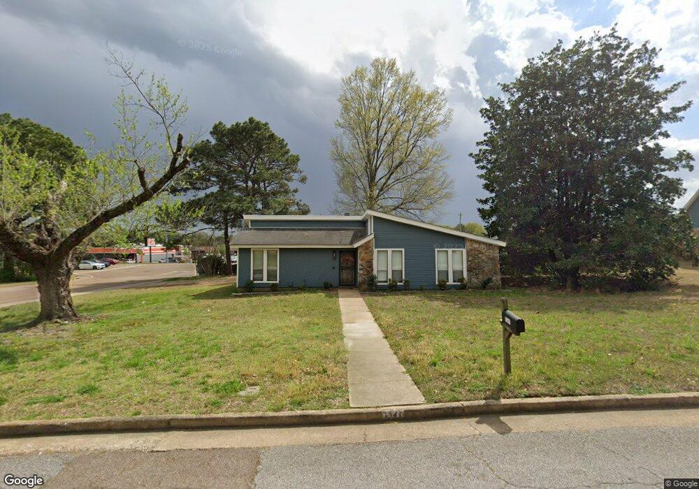
7341 Maplewood Rd Olive Branch, MS 38654
Estimated Value: $199,353 - $252,000
3
Beds
--
Bath
1,473
Sq Ft
$153/Sq Ft
Est. Value
About This Home
This home is located at 7341 Maplewood Rd, Olive Branch, MS 38654 and is currently estimated at $226,088, approximately $153 per square foot. 7341 Maplewood Rd is a home located in DeSoto County with nearby schools including Pleasant Hill Elementary School, DeSoto Central Middle School, and DeSoto Central High School.
Ownership History
Date
Name
Owned For
Owner Type
Purchase Details
Closed on
May 20, 2021
Sold by
Brown Glenn Matthew and Brown Karen C
Bought by
Ray Daniel D
Current Estimated Value
Home Financials for this Owner
Home Financials are based on the most recent Mortgage that was taken out on this home.
Original Mortgage
$103,500
Outstanding Balance
$77,172
Interest Rate
3%
Mortgage Type
Purchase Money Mortgage
Estimated Equity
$148,916
Create a Home Valuation Report for This Property
The Home Valuation Report is an in-depth analysis detailing your home's value as well as a comparison with similar homes in the area
Home Values in the Area
Average Home Value in this Area
Purchase History
| Date | Buyer | Sale Price | Title Company |
|---|---|---|---|
| Ray Daniel D | -- | None Available |
Source: Public Records
Mortgage History
| Date | Status | Borrower | Loan Amount |
|---|---|---|---|
| Open | Ray Daniel D | $103,500 |
Source: Public Records
Tax History
| Year | Tax Paid | Tax Assessment Tax Assessment Total Assessment is a certain percentage of the fair market value that is determined by local assessors to be the total taxable value of land and additions on the property. | Land | Improvement |
|---|---|---|---|---|
| 2025 | $2,020 | $17,443 | $3,750 | $13,693 |
| 2024 | $1,805 | $13,227 | $3,750 | $9,477 |
| 2023 | $1,805 | $13,227 | $0 | $0 |
| 2022 | $1,805 | $13,227 | $3,750 | $9,477 |
| 2021 | $903 | $8,818 | $2,500 | $6,318 |
| 2020 | $834 | $8,312 | $2,500 | $5,812 |
| 2019 | $834 | $8,312 | $2,500 | $5,812 |
| 2017 | $819 | $13,816 | $8,158 | $5,658 |
| 2016 | $819 | $8,158 | $2,500 | $5,658 |
| 2015 | $1,119 | $13,816 | $8,158 | $5,658 |
| 2014 | $819 | $8,158 | $0 | $0 |
| 2013 | $789 | $8,158 | $0 | $0 |
Source: Public Records
Map
Nearby Homes
- 7103 Larkfield Rd
- 7248 Kingcrest Rd
- 10190 May Flowers St
- 4777 Bolivar Trail N
- 10319 March Meadows Way
- 784 Arrow Cove
- 6934 Sunrise Loop W
- 6635 Renee Dr
- 6920 Saint Micheals
- 6923 Silver Cloud Cove
- 7128 Apache Dr
- 0 S Hamilton Cir
- 7501 Iron Loop
- 7300 W Shahkoka Dr
- 6703 Jessie Hoyt Dr
- 6363 Cheyenne Dr
- 6559 Shenandoah Ln
- 6394 Cody Cove
- 7523 Dogwood Ln
- 7530 Dogwood Ln
- 7323 Maplewood Rd
- 13198 Goodman Rd
- 13893 Goodman Rd
- 8 Goodman Rd
- 7055 Eastover Blvd
- 7022 Eastover Blvd
- 7326 Maplewood Rd
- 7305 Maplewood Rd
- 7038 Eastover Blvd
- 7327 Goodman Rd
- 6500 S Crumpler
- 6485 S Crumpler
- 7052 Eastover Blvd
- 7075 Eastover Blvd
- 7289 Maplewood Rd
- 7068 Eastover Blvd
- 1 Goodman Rd
- 0 GOODMAN Rd
- 7074 Maplewood Cove
Your Personal Tour Guide
Ask me questions while you tour the home.