7341 Woodstock Curve Bloomington, MN 55438
West Bloomington NeighborhoodEstimated Value: $239,000 - $265,619
3
Beds
3
Baths
792
Sq Ft
$320/Sq Ft
Est. Value
About This Home
This home is located at 7341 Woodstock Curve, Bloomington, MN 55438 and is currently estimated at $253,655, approximately $320 per square foot. 7341 Woodstock Curve is a home located in Hennepin County with nearby schools including Olson Elementary School, Olson Middle School, and Jefferson Senior High School.
Ownership History
Date
Name
Owned For
Owner Type
Purchase Details
Closed on
Oct 27, 2014
Sold by
Higgins Kathryn A
Bought by
Pinette Eunice R
Current Estimated Value
Home Financials for this Owner
Home Financials are based on the most recent Mortgage that was taken out on this home.
Original Mortgage
$114,475
Outstanding Balance
$88,430
Interest Rate
4.23%
Mortgage Type
New Conventional
Estimated Equity
$165,225
Create a Home Valuation Report for This Property
The Home Valuation Report is an in-depth analysis detailing your home's value as well as a comparison with similar homes in the area
Home Values in the Area
Average Home Value in this Area
Purchase History
| Date | Buyer | Sale Price | Title Company |
|---|---|---|---|
| Pinette Eunice R | $120,500 | Midland Title |
Source: Public Records
Mortgage History
| Date | Status | Borrower | Loan Amount |
|---|---|---|---|
| Open | Pinette Eunice R | $114,475 |
Source: Public Records
Tax History Compared to Growth
Tax History
| Year | Tax Paid | Tax Assessment Tax Assessment Total Assessment is a certain percentage of the fair market value that is determined by local assessors to be the total taxable value of land and additions on the property. | Land | Improvement |
|---|---|---|---|---|
| 2024 | $3,014 | $253,000 | $76,200 | $176,800 |
| 2023 | $2,780 | $244,000 | $76,200 | $167,800 |
| 2022 | $2,586 | $237,500 | $76,200 | $161,300 |
| 2021 | $2,361 | $217,200 | $70,600 | $146,600 |
| 2020 | $2,466 | $202,400 | $68,600 | $133,800 |
| 2019 | $2,079 | $205,000 | $67,600 | $137,400 |
| 2018 | $1,671 | $174,600 | $68,200 | $106,400 |
| 2017 | $1,507 | $132,800 | $58,000 | $74,800 |
| 2016 | $1,955 | $136,300 | $53,700 | $82,600 |
| 2015 | $1,476 | $121,700 | $51,600 | $70,100 |
| 2014 | -- | $108,700 | $50,000 | $58,700 |
Source: Public Records
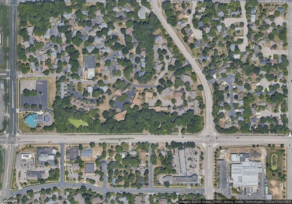
Map
Nearby Homes
- 7321 Woodstock Curve
- 7256 Woodstock Dr
- 7401 Landau Dr Unit 12
- 10911 Rhode Island Ave S
- 7534 Landau Dr
- 7518 W 110th St
- 7433 W 105th St
- 11058 Oregon Curve
- 11015 Oregon Curve
- 10433 Utah Rd
- 11048 Quebec Cir
- 7019 W 110th Street Cir Unit 15
- 11073 Oregon Cir Unit 69
- 7736 Countryside Dr
- 11275 Oregon Cir
- 7920 W 107th Street Cir
- 10707 Yukon Ave S
- 7106 W 113th St
- 8022 W 111th St Unit 8022
- 11200 Wyoming Rd S
- 7325 Woodstock Curve
- 7329 Woodstock Curve Unit 21H
- 7333 Woodstock Curve
- 7337 Woodstock Curve
- 7341 7341 Woodstock Curve
- 7413 Landau Curve
- 7419 Landau Curve
- 7419 Landau Curve
- 7407 Landau Curve
- 7425 Landau Curve
- 7401 Landau Curve
- 7317 Woodstock Curve
- 7301 Woodstock Curve
- 7313 Woodstock Curve
- 7313 7313 Woodstock-Curve-
- 7305 7305 Woodstock Curve
- 7309 7309 Woodstock-Curve-
- 7321 7321 Woodstock-Curve-
- 7313 7313 Woodstock Curve
- 7313 Woodstock Curve Unit 214