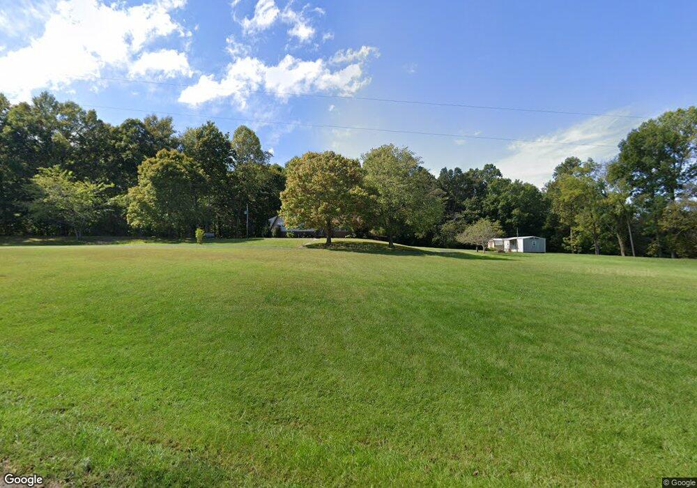
7345 Hook Ridge Rd Monroe, TN 38573
Estimated Value: $245,277 - $411,000
Studio
2
Baths
1,404
Sq Ft
$232/Sq Ft
Est. Value
About This Home
This home is located at 7345 Hook Ridge Rd, Monroe, TN 38573 and is currently estimated at $325,759, approximately $232 per square foot. 7345 Hook Ridge Rd is a home located in Pickett County with nearby schools including Pickett County Elementary School and Pickett County High School.
Ownership History
Date
Name
Owned For
Owner Type
Purchase Details
Closed on
Jan 26, 2024
Sold by
Shearer Patricia S and Shearer Edward Lee
Bought by
Shearer Patricia S and Shearer Delise Elizabeth
Current Estimated Value
Purchase Details
Closed on
May 26, 1995
Bought by
Shearer Edward L and Shearer Patricia S
Purchase Details
Closed on
May 28, 1994
Bought by
Conner Elmo and Conner Sarah
Create a Home Valuation Report for This Property
The Home Valuation Report is an in-depth analysis detailing your home's value as well as a comparison with similar homes in the area
Purchase History
| Date | Buyer | Sale Price | Title Company |
|---|---|---|---|
| Shearer Patricia S | -- | None Listed On Document | |
| Shearer Patricia S | -- | None Listed On Document | |
| Shearer Edward L | $72,900 | -- | |
| Conner Elmo | $64,200 | -- |
Source: Public Records
Tax History
| Year | Tax Paid | Tax Assessment Tax Assessment Total Assessment is a certain percentage of the fair market value that is determined by local assessors to be the total taxable value of land and additions on the property. | Land | Improvement |
|---|---|---|---|---|
| 2025 | $837 | $48,950 | $13,850 | $35,100 |
| 2024 | $837 | $48,950 | $13,850 | $35,100 |
| 2023 | $835 | $48,950 | $13,850 | $35,100 |
| 2022 | $709 | $29,400 | $9,700 | $19,700 |
| 2021 | $709 | $29,400 | $9,700 | $19,700 |
| 2020 | $709 | $29,400 | $9,700 | $19,700 |
| 2019 | $723 | $29,400 | $9,700 | $19,700 |
| 2018 | $506 | $29,400 | $9,700 | $19,700 |
| 2017 | $525 | $28,075 | $7,625 | $20,450 |
| 2016 | $525 | $28,075 | $7,625 | $20,450 |
| 2015 | $525 | $28,071 | $0 | $0 |
| 2014 | $525 | $28,071 | $0 | $0 |
Source: Public Records
Map
Nearby Homes
- 0 Odell Jolly Rd
- 1754 Old Stover Rd
- 9107 Barnes Ridge Rd
- 9024 Barnes Ridge Rd
- 566 Mallard Pointe Rd
- 9 Mallard Pointe Rd
- lot 9 Mallard Pointe Rd
- 511 Mallard Pointe Rd
- 9466 Barnes Ridge Rd
- Lot 109 Midnight Dr
- 122 Abby Ln
- 312 Cosby Parris Rd
- 1007 Eastridge Dr
- 1020 Eastridge Dr
- 335 Nelson Cemetery Rd
- 572 Lakeside Rd
- 1250 Hill Cemetery Rd
- 140 J S Dairy Ln
- Lot 18B Bald Eagle Ln
- 25.8 AC J S Dairy Ln
- 7409 Hook Ridge Rd
- 1055 Conner Rd
- 1099 Conner Rd
- 50 AC Hook Ridge Rd
- 19 Ac Hook Ridge Rd
- 7298 Hook Ridge Rd
- 7500 Hook Ridge Rd
- 7263 Hook Ridge Rd
- 7263 Hook Ridge Rd
- 10 AC Parrott Ridge Rd
- 8.96 ac Parrott Ridge Rd
- 18 AC Parrott Ridge Rd
- 23.34 AC Parrott Ridge Rd
- 7240 Hook Ridge Rd
- 0 Parrott Ridge Rd
- 7233 Hook Ridge Rd
- 2011 Odell Jolly Rd
- 2011 Odell Jolly Rd
- 1005 Parrott Ridge Rd
- 37 Ac. John Beason Rd
Your Personal Tour Guide
Ask me questions while you tour the home.