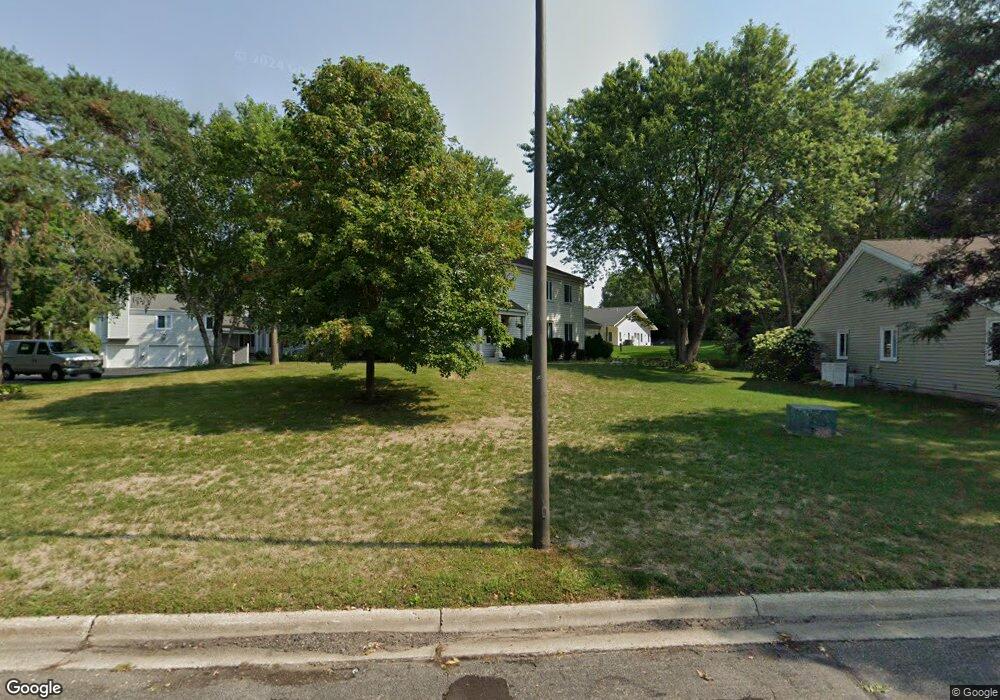
7345 Landau Dr Bloomington, MN 55438
West Bloomington NeighborhoodEstimated Value: $185,719 - $257,000
2
Beds
1
Bath
1,020
Sq Ft
$201/Sq Ft
Est. Value
About This Home
This home is located at 7345 Landau Dr, Bloomington, MN 55438 and is currently estimated at $204,930, approximately $200 per square foot. 7345 Landau Dr is a home located in Hennepin County with nearby schools including Olson Elementary School, Olson Middle School, and Jefferson Senior High School.
Ownership History
Date
Name
Owned For
Owner Type
Purchase Details
Closed on
Jun 29, 2011
Sold by
Kinney Patricia A
Bought by
Peterson Richard William
Current Estimated Value
Home Financials for this Owner
Home Financials are based on the most recent Mortgage that was taken out on this home.
Original Mortgage
$50,000
Interest Rate
4.63%
Mortgage Type
New Conventional
Create a Home Valuation Report for This Property
The Home Valuation Report is an in-depth analysis detailing your home's value as well as a comparison with similar homes in the area
Home Values in the Area
Average Home Value in this Area
Purchase History
| Date | Buyer | Sale Price | Title Company |
|---|---|---|---|
| Peterson Richard William | $80,000 | Edina Realty Title Inc | |
| Peterson Richard William | $80,000 | -- |
Source: Public Records
Mortgage History
| Date | Status | Borrower | Loan Amount |
|---|---|---|---|
| Closed | Peterson Richard William | $50,000 |
Source: Public Records
Tax History
| Year | Tax Paid | Tax Assessment Tax Assessment Total Assessment is a certain percentage of the fair market value that is determined by local assessors to be the total taxable value of land and additions on the property. | Land | Improvement |
|---|---|---|---|---|
| 2024 | $2,106 | $187,900 | $75,100 | $112,800 |
| 2023 | $1,981 | $182,200 | $75,100 | $107,100 |
| 2022 | $1,861 | $181,400 | $75,100 | $106,300 |
| 2021 | $1,680 | $164,700 | $69,800 | $94,900 |
| 2020 | $1,743 | $152,500 | $67,800 | $84,700 |
| 2019 | $1,582 | $153,500 | $66,800 | $86,700 |
| 2018 | $1,575 | $139,900 | $67,300 | $72,600 |
| 2017 | $1,312 | $119,500 | $56,900 | $62,600 |
| 2016 | $1,235 | $110,000 | $52,600 | $57,400 |
| 2015 | $1,127 | $100,000 | $50,600 | $49,400 |
| 2014 | -- | $89,300 | $49,100 | $40,200 |
Source: Public Records
Map
Nearby Homes
- 7404 Landau Dr
- 7229 Woodstock Curve Unit 6
- 10935 Oregon Ave S
- 7555 W 110th St
- 7525 W 110th St Unit 7
- 7601 W 101st St Unit 216
- 7401 W 101st St Unit 111
- 7501 W 101st St Unit 320
- 7601 W 101st St Unit 215
- 11159 Sumter Ave S
- 11039 Oregon Cir Unit 60
- 7501 W 100th St
- 7334 W 114th Street Cir
- 10512 Decatur Ave S
- 10430 Decatur Ave S
- 11380 Louisiana Cir
- 7041 Kenmare Dr
- 10316 Nesbitt Ave S
- 6958 Kenmare Dr
- 10425 Vessey Rd
- 7345 Landau Dr
- 7337 Landau Dr
- 7341 Landau Dr
- 7333 Landau Dr Unit 23
- 7317 Landau Dr
- 7349 Landau Dr
- 7321 Landau Dr
- 7325 Landau Dr
- 7301 W 106th St
- 7357 Landau Dr
- 7309 Landau Dr Unit 32
- 7309 Landau Dr
- 7309 Landau Dr
- 7301 Landau Dr
- 7301 Landau Dr
- 7305 Landau Dr
- 7313 Landau Dr
- 7313 Landau Dr
- 7358 Landau Dr Unit 63
- 7360 Landau Dr
Your Personal Tour Guide
Ask me questions while you tour the home.