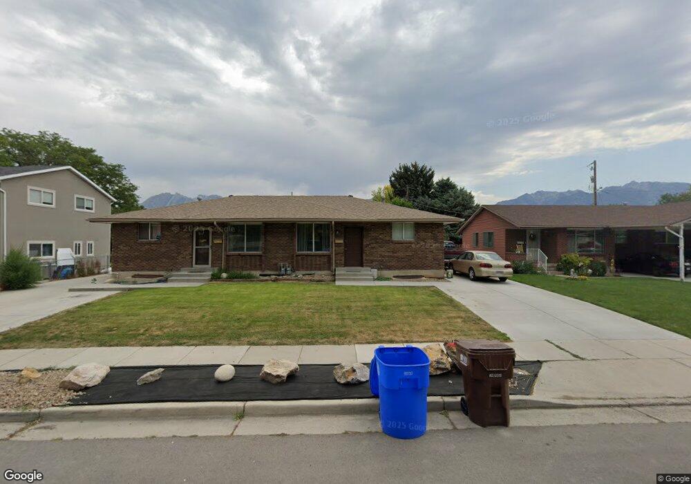
7347 Rusty Dr Midvale, UT 84047
Estimated Value: $619,937 - $721,000
4
Beds
2
Baths
3,655
Sq Ft
$186/Sq Ft
Est. Value
About This Home
This home is located at 7347 Rusty Dr, Midvale, UT 84047 and is currently estimated at $679,984, approximately $186 per square foot. 7347 Rusty Dr is a home located in Salt Lake County with nearby schools including Midvalley Elementary School, Hillcrest High School, and Midvale Middle School.
Ownership History
Date
Name
Owned For
Owner Type
Purchase Details
Closed on
Jul 16, 2024
Sold by
Rader Scott and Rader Krystine
Bought by
Gmcd Properties Llc
Current Estimated Value
Purchase Details
Closed on
Jul 30, 2020
Sold by
South Rusty Drive Llc
Bought by
Rader Scott and Rader Krys
Purchase Details
Closed on
Jul 29, 2020
Sold by
Christansen Wonda P
Bought by
Adams Latrisha
Purchase Details
Closed on
May 23, 2011
Sold by
Pettit Marvin R and Pettit Danna W
Bought by
7347 & 7349 South Rusty Drive Llc
Create a Home Valuation Report for This Property
The Home Valuation Report is an in-depth analysis detailing your home's value as well as a comparison with similar homes in the area
Home Values in the Area
Average Home Value in this Area
Purchase History
| Date | Buyer | Sale Price | Title Company |
|---|---|---|---|
| Gmcd Properties Llc | -- | None Listed On Document | |
| Rader Scott | -- | Title Guarantee S Jordan | |
| Adams Latrisha | -- | Title One | |
| 7347 & 7349 South Rusty Drive Llc | -- | None Available |
Source: Public Records
Tax History
| Year | Tax Paid | Tax Assessment Tax Assessment Total Assessment is a certain percentage of the fair market value that is determined by local assessors to be the total taxable value of land and additions on the property. | Land | Improvement |
|---|---|---|---|---|
| 2025 | $3,338 | $579,600 | $155,200 | $424,400 |
| 2024 | $3,338 | $548,000 | $145,700 | $402,300 |
| 2023 | $3,245 | $527,900 | $138,500 | $389,400 |
| 2022 | $3,410 | $541,900 | $135,800 | $406,100 |
| 2021 | $3,029 | $411,600 | $135,800 | $275,800 |
| 2020 | $2,699 | $347,100 | $90,700 | $256,400 |
| 2019 | $2,282 | $323,500 | $85,600 | $237,900 |
| 2018 | $2,257 | $286,000 | $85,600 | $200,400 |
| 2017 | $2,207 | $268,700 | $85,600 | $183,100 |
| 2016 | $2,147 | $253,500 | $85,600 | $167,900 |
| 2015 | $1,975 | $229,200 | $83,000 | $146,200 |
| 2014 | $1,923 | $218,000 | $80,400 | $137,600 |
Source: Public Records
Map
Nearby Homes
- 106 E 7320 S
- 72 E 7320 S
- 7377 S Ramanee Dr
- 110 Greenwood Ave
- 7479 S Randall Cir
- 221 E Fort Union Blvd
- 220 E Greenwood Ave
- 30 W 7500 S Unit 18
- 7097 S 230 E
- 7309 S Union Village Cir
- 7218 S Viansa Ct
- 120 E 7615 St S Unit 103
- 7045 S 65 E
- 7359 S Dewmar Ct W Unit 32
- 489 E 7800 S Unit 2
- 7363 S Dewmar Ct W Unit 33
- 7342 S Seven Tree Ln W Unit 77
- 7329 S Seven Tree Ln W Unit 85
- 7371 S Dewmar Ct W Unit 35
- 7327 S Seven Tree Ln W Unit 86
Your Personal Tour Guide
Ask me questions while you tour the home.