7348 Meadowlark Dr Shawnee, KS 66227
Estimated Value: $475,000 - $606,000
4
Beds
4
Baths
2,052
Sq Ft
$254/Sq Ft
Est. Value
About This Home
This home is located at 7348 Meadowlark Dr, Shawnee, KS 66227 and is currently estimated at $521,450, approximately $254 per square foot. 7348 Meadowlark Dr is a home located in Johnson County with nearby schools including Mize Elementary School, Mill Creek Middle School, and De Soto High School.
Ownership History
Date
Name
Owned For
Owner Type
Purchase Details
Closed on
Aug 22, 2011
Sold by
Bruffett W Brent and Bruffett Kari M
Bought by
Robbins Michael A and Robbins Kimberly D
Current Estimated Value
Home Financials for this Owner
Home Financials are based on the most recent Mortgage that was taken out on this home.
Original Mortgage
$212,400
Outstanding Balance
$147,132
Interest Rate
4.58%
Mortgage Type
New Conventional
Estimated Equity
$374,318
Purchase Details
Closed on
Dec 18, 2003
Sold by
Crystal Place Developers Llc
Bought by
Mark Hoelting Building Llc
Create a Home Valuation Report for This Property
The Home Valuation Report is an in-depth analysis detailing your home's value as well as a comparison with similar homes in the area
Home Values in the Area
Average Home Value in this Area
Purchase History
| Date | Buyer | Sale Price | Title Company |
|---|---|---|---|
| Robbins Michael A | -- | First American Title | |
| Mark Hoelting Building Llc | -- | Midwest Title Company Inc |
Source: Public Records
Mortgage History
| Date | Status | Borrower | Loan Amount |
|---|---|---|---|
| Open | Robbins Michael A | $212,400 |
Source: Public Records
Tax History Compared to Growth
Tax History
| Year | Tax Paid | Tax Assessment Tax Assessment Total Assessment is a certain percentage of the fair market value that is determined by local assessors to be the total taxable value of land and additions on the property. | Land | Improvement |
|---|---|---|---|---|
| 2024 | $5,299 | $45,620 | $10,128 | $35,492 |
| 2023 | $5,112 | $43,493 | $10,128 | $33,365 |
| 2022 | $4,714 | $39,296 | $8,109 | $31,187 |
| 2021 | $4,504 | $36,064 | $7,377 | $28,687 |
| 2020 | $4,226 | $33,522 | $7,377 | $26,145 |
| 2019 | $4,246 | $33,189 | $7,377 | $25,812 |
| 2018 | $4,118 | $31,901 | $7,377 | $24,524 |
| 2017 | $4,111 | $31,073 | $6,424 | $24,649 |
| 2016 | $4,163 | $31,085 | $6,424 | $24,661 |
| 2015 | $4,120 | $30,234 | $6,424 | $23,810 |
| 2013 | -- | $27,508 | $6,430 | $21,078 |
Source: Public Records
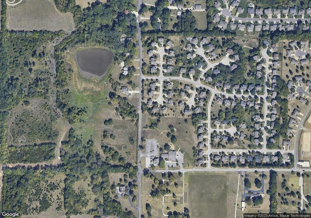
Map
Nearby Homes
- 23533 W 74th Terrace
- 0 Hedge Lane Terrace
- 7134 Hedge Lane Terrace
- 7102 Hedge Lane Terrace
- 7137 Meadow View St
- 7153 Meadow View St
- 7546 Mccormick Dr
- 7101 Meadow View St
- 7547 Belmont Dr
- 7005 Barth Rd
- 23300 W 71st St
- 6932 Kenton St
- 22000 W 71st St
- 6924 Kenton St
- 24203 W 69th St
- 26775 W 73rd St
- 22602 W 72nd Terrace
- 7716 Houston St
- 24916 W 75th Place
- 7822 Houston St
- 7344 Meadowlark Dr
- 7347 Meadowlark Dr
- 7340 Meadowlark Dr
- 7343 Meadowlark Dr
- 7339 Meadowlark Dr
- 7346 Kenton Rd
- 7336 Meadowlark Dr
- 7346 Kenton St
- 7335 Meadowlark Dr
- 7342 Kenton Rd
- 7350 Kenton Rd
- 7342 Kenton St
- 7350 Kenton St
- 7420 Gleason Rd
- 7338 Kenton St
- 7338 Kenton Rd
- 7331 Meadowlark Dr
- 7347 Kenton Rd
- 7402 Meadow Heights Dr
- 7341 Kenton Rd